Map of Pawtucket
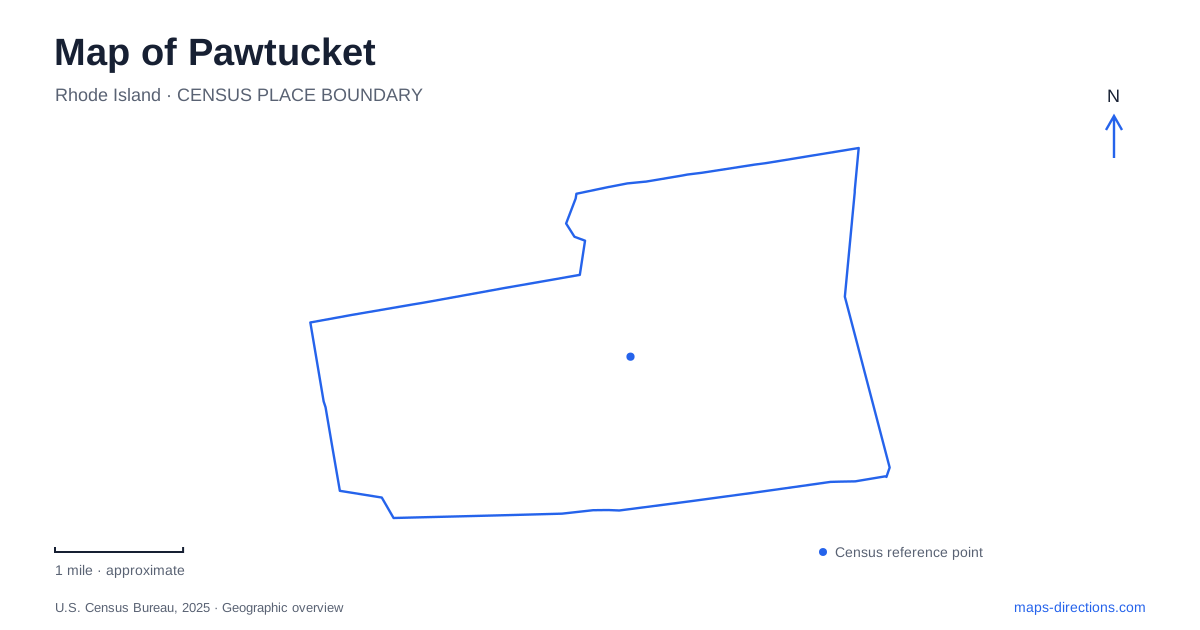
Street tiles load from OpenStreetMap when opened. The blue line shows the 2025 Census boundary.
- State
- Rhode Island
- Population · July 2025
- 77,065
- Land area
- 8.7 sq mi
- Water area
- 0.3 sq mi
Pawtucket's map tells a story through water, industry, and the reuse of urban space. Old Slater Mill faces the Blackstone River, where waterpower helped transform manufacturing. Slater Memorial Park offers a separate landscape of gardens, recreation, and historic attractions. The Pine Street transit center concentrates modern rail and bus travel, while the soccer stadium brings a newer gathering place to the Seekonk River. These places belong to the same city, but each occupies a distinct setting with a different relationship to the surrounding streets.
Waterpower at Roosevelt Avenue
Old Slater Mill stands at 67 Roosevelt Avenue. Constructed in 1793, it is associated with Samuel Slater's successful introduction of Richard Arkwright's water-powered cotton-spinning technology in America. The river is central to understanding the building: the mill's location reflects the energy available from flowing water, rather than merely a preference for a waterfront address.
The historic site includes more than the familiar yellow mill. Wilkinson Mill dates to 1810, and the Sylvanus Brown House dates to 1758. The National Park Service's landscape study also identifies a partially reconstructed raceway and tailrace, river walls, remnant foundations, and a footbridge. These smaller features make the grounds legible as a working industrial landscape. A visitor can connect buildings to water-control infrastructure rather than viewing them as isolated architectural objects.
This compact riverfront is an important starting point for understanding Pawtucket. Its lawns and paved walkways now support interpretation and views of the river, but the arrangement records a period when production depended directly on waterpower. Looking at the site plan alongside the street map makes that historical relationship clearer.
Slater Memorial Park's separate landscape
Despite the shared Slater name, the large municipal park has a different setting and purpose from the mill site. Its entrances are on Newport Avenue and Armistice Boulevard. The city describes approximately two hundred acres with ballfields, tennis courts, picnic areas, a fishing pond, and gardens. The park's size allows several activities to coexist, from organized sport to a walk around quieter landscaped areas.
The Looff Carousel supplies a particularly distinctive landmark. Built in 1895 and installed in the park in 1910, it stands near the Daggett House. Its stationary horses distinguish this historic stander carousel from rides whose animals rise and fall. The surrounding historic core, the nearby farm outing area, and the Rhode Island Watercolor Society make this part of the park more than a collection of playing fields.
A linear bicycle route extends from the Tomlinson Athletic Complex on Daggett Avenue, through the park, toward the Kimberley Rock Athletic Complex in Rumford. That route places Slater Memorial Park within a wider recreational connection. On a map of Pawtucket, the park should therefore appear as both a destination and a passage through a larger sequence of open spaces.
The Pine Street transit connection
The commuter rail and bus hub at 300 Pine Street opened for service in January 2023. It serves the two neighboring communities reflected in its name, the Pawtucket–Central Falls Transit Center. MBTA commuter rail and RIPTA buses meet here, making it a regional arrival point distinct from the historic riverfront attractions.
RIPTA's passenger amenity building opened in January 2026, adding an indoor waiting area, restrooms, and real-time information screens. These facilities reinforce the site's role as a transfer point rather than simply a train platform. For a journey combining rail and local bus travel, the terminal arrangement matters: the rail portion brings a visitor into the urban area, while the bus network distributes passengers among local corridors and destinations.
Soccer beside the Seekonk River
Centreville Bank Stadium stands at 11 Tidewater Street within the Tidewater Landing development on the Seekonk River. It is Rhode Island FC's home ground, adding a sports destination to a waterfront landscape with a different history and scale from the old mill grounds. The riverwalk and stadium surroundings create an event setting beyond the seating bowl itself.
The club's office is listed separately at 175 Main Street. That distinction is practical because a search for the team can return an administrative address rather than the playing venue. RIPTA's designated game-day service connects the transit center and selected parking locations with the stadium area, illustrating how an event trip can combine several sites across the city. The most useful map of Pawtucket keeps those relationships visible: mill buildings and river infrastructure, park paths and historic attractions, transit platforms and local buses, and a stadium reached through its surrounding waterfront district.
Map and statistics: U.S. Census Bureau, 2025 Gazetteer, January 2025 generalized place boundaries and Vintage 2025 population estimates. Local references: National Park Service; City of Pawtucket; RIPTA; Rhode Island FC. Article prepared by Maps & Directions.