Map of Paterson
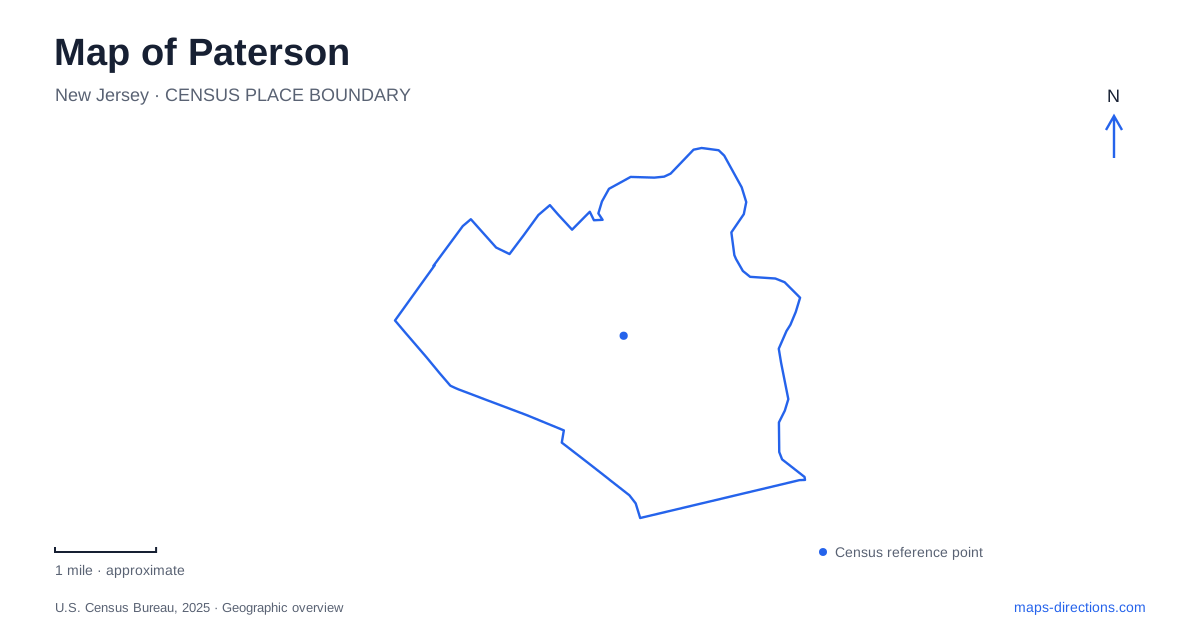
Street tiles load from OpenStreetMap when opened. The blue line shows the 2025 Census boundary.
- State
- New Jersey
- Population · July 2025
- 161,793
- Land area
- 8.4 sq mi
- Water area
- 0.3 sq mi
Paterson is an unusually clear example of a city whose industrial geography begins with a natural feature. The Great Falls of the Passaic River supplied the elevation difference that made an engineered water-power system possible. Around that system grew mills, workshops, and a dense urban district. Above the city, Garret Mountain adds a contrasting landscape of parkland and an industrialist's estate. Reading the river, mill district, stadium, and hillside together reveals connections between production, recreation, and wealth that a simple attractions map can hide.
The falls are the beginning of a larger system
Overlook Park provides a broad view of the waterfall, while Mary Ellen Kramer Park places visitors nearer the top of the falls and the river chasm. These viewpoints show different aspects of the same landform. The first helps explain the dramatic change in elevation; the second brings the upper river and immediate rocky setting into the picture.
The raceways carried that geographical advantage into the surrounding industrial district. Built and modified between 1791 and 1848, they distributed water to power a variety of enterprises. Upper Raceway Park follows the beginning of this system past surviving mill buildings. For someone reading Paterson’s map, the narrow engineered channels are therefore as significant as the much more conspicuous waterfall. They show how natural energy was redirected into a network of workplaces.
A mill beside a raceway was part of a larger arrangement, not simply a factory that happened to stand near water. The relationship between channel, elevation, and building helps explain the concentration of industry in this particular part of the city. It also gives a walk through the district a coherent subject: following how power moved from the river into manufacturing.
A locomotive shop containing industrial history
At 2 Market Street, the municipal museum occupies the restored Thomas Rogers Locomotive Erecting Shop. The museum began in 1925 and moved into this industrial building in 1982. Its setting is therefore part of the interpretation. A building once used to assemble locomotives now holds evidence of the technologies and industries associated with the city.
The collections connect textile production, machinery, Colt firearms, and locomotive manufacture. Silk-processing equipment helps explain the sequence of work behind the familiar Silk City nickname, moving the subject beyond finished fabric. Paterson’s industrial identity involved specialized machines, workers, and processes as well as large brick buildings.
John P. Holland's first two prototype submarines add an unexpected dimension. They represent early stages in developing the modern submarine and demonstrate that local technical experimentation was not limited to a single industry. Together, the building and collections connect the surrounding mill landscape with inventions whose influence traveled far beyond the river valley.
Baseball and civic life beside the gorge
Hinchliffe Stadium stands beside Mary Ellen Kramer Park, bounded by Maple and Liberty streets. Built in 1932, its art-deco architecture belongs to a later period than the original water-power works. The stadium hosted Negro League baseball teams, track and field, football, concerts, and motor racing. Its history brings organized sport and public entertainment into a district often introduced solely through factories.
After closing in 1996, the stadium reopened in May 2023 following restoration. Its position beside the falls gives this part of Paterson a notable combination of natural scenery, industrial history, and sporting heritage within a compact area. Maple Street provides access to the neighboring park, while the stadium's public garage is approached from Jasper Street. The surrounding street pattern connects these destinations without making the national park and stadium a single managed facility.
The industrialist’s view from Garret Mountain
Lambert Castle, on Valley Road, was constructed in the 1890s for silk manufacturer Catholina Lambert. Its sandstone and granite walls, towers, and crenellated parapets translate the appearance of a European castle into a private American residence. The house offers a different perspective on the textile economy from the machinery preserved down in the industrial district: it shows how its wealth was expressed in domestic architecture.
Lambert added the seventy-foot observation tower in 1896. Positioned higher on Garret Mountain, it broadened the estate's relationship with the surrounding landscape through views across the Passaic Valley. The tower later served as a military lookout during World War II. Following restoration, the county reopened it in June 2026 for guided visits.
Garret Mountain Reservation extends between Valley Road and Rifle Camp Road across municipal boundaries. Its trails, overlooks, and park facilities give the hillside a public role that differs from the original private estate. Paterson can consequently be read from two complementary levels: the river district explains where industrial energy and labor were concentrated, while the hillside reveals the larger valley and an architectural legacy of the silk economy. Both belong to the same local story, but each makes different features visible.
Map and statistics: U.S. Census Bureau, 2025 Gazetteer, January 2025 generalized place boundaries and Vintage 2025 population estimates. Local references: National Park Service; Paterson Museum; New Jersey Historic Trust; Passaic County. Article prepared by Maps & Directions.