Map of Passaic
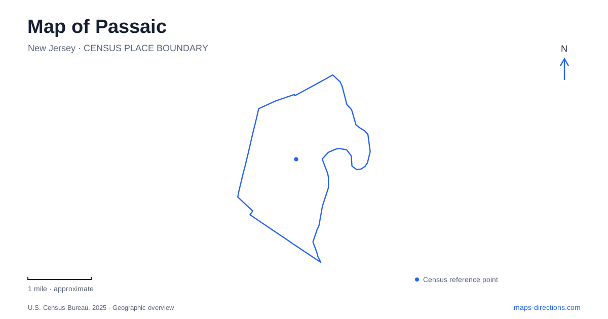
Street tiles load from OpenStreetMap when opened. The blue line shows the 2025 Census boundary.
- State
- New Jersey
- Population · July 2025
- 71,337
- Land area
- 3.1 sq mi
- Water area
- 0.1 sq mi
Passaic has a dense urban map in which industrial history, transportation, and public open space repeatedly overlap. Main Avenue retains the shape of a former rail corridor, while Dundee Island Park occupies a riverfront landscape being adapted for recreation. Third Ward Park provides a different kind of green space around Hughes Lake in the southern part of the city. Together, these places explain more about the local layout than a list of nearby highways: they show how older infrastructure continues to influence present-day movement and neighborhood life.
Main Avenue and the missing railroad
The city's adopted Main Avenue redevelopment plan explains that the railroad arrived in 1831 and that the Dundee Dam and Canal, completed in 1861, helped drive industrial growth. By the 1880s, Main Avenue already contained a broad mix of development, and much of the surrounding road network had been laid out.
Erie Railroad tracks once ran down the avenue's center, with a passenger station where the Main Avenue Terminal later stood. Although those tracks are gone, the planning document identifies their continuing influence on the street's layout. This is a useful example of how an urban map can preserve a transportation feature after the feature itself disappears. The broad corridor should be read partly as an inherited railway space, not simply as a road designed in its present form.
For a Passaic walking route, Main Avenue therefore offers a historical thread through the business district. The relationship between the avenue and the surrounding blocks reflects both commercial development and the movement of trains through the center of town.
The active station belongs to a different setting
The present rail station is listed by NJ TRANSIT at Van Houten Street and Passaic Avenue. Its parking areas are associated with Lackawanna Place, Barry Place, and Tom Saba Square. These street references place the active railway stop within its immediate neighborhood and distinguish it from the former downtown rail alignment.
That distinction is useful when looking at an old map or reading an account of trains on Main Avenue. The historic passenger station and the current station represent different arrangements of the transport network. A visit centered on downtown history should not assume that arriving by train reproduces the old approach into the commercial avenue. Comparing the two locations instead reveals how the city reorganized around changing railway infrastructure.
Hughes Lake and the southern park landscape
Third Ward Park is the city's largest park, covering about fifty-five acres near the train station. Hughes Lake forms a prominent feature within it, accompanied by ballfields and a roller-skating rink. The water provides an organizing element quite different from the riverfront: it is enclosed within a broad municipal park rather than part of a long industrial river corridor.
The 2023 aging-friendly land-use plan emphasizes how much of the city's open space lies here. It also notes the absence of a similarly substantial park in the downtown core. That uneven distribution helps explain why a map of Passaic should show the larger parks in relation to neighborhoods, rather than assuming green space is spread evenly among the blocks. A walk near the business district and an outing around Hughes Lake offer distinctly different surroundings.
Dundee Island and the return to the water
Dundee Island Park uses Veterans Court as its arrival address. Its facilities include a field house, soccer and multipurpose fields, playground, spray area, fitness equipment, amphitheater, walking paths, and a boat launch. This mix creates a waterfront used for several purposes at once, from organized sport to informal exercise and gathering beside the river.
The county's account of the park's redevelopment explains that the land lies entirely within a floodway. Green infrastructure was incorporated to absorb water during flood events. That detail gives practical meaning to the landscape design: open areas and planted features are part of the site's response to its setting, as well as places for recreation. The elevated field house also belongs to this riverfront context.
County planning for Dundee Island has considered converting an abandoned railroad bridge into a pedestrian crossing. That proposal explains how railway infrastructure could connect recreational places on opposite banks. For a walk, however, establish an authorized crossing from the county's trail information rather than treating a contract announcement or design drawing as proof that a bridge is available to pedestrians.
Following the city's changing infrastructure
The clearest way to read Passaic is to keep three layers visible: the former tracks on Main Avenue, the active rail station beside the southern neighborhoods, and the riverfront's reuse of industrial land. Third Ward Park and Dundee Island then become more than two green areas on a screen. One offers a lake-centered municipal landscape, while the other reconnects residents with a river shaped by industry and flood conditions. Their differences give a local route substance and make the city's compact geography easier to understand.
Map and statistics: U.S. Census Bureau, 2025 Gazetteer, January 2025 generalized place boundaries and Vintage 2025 population estimates. Local references: City of Passaic; NJ TRANSIT; Passaic County. Article prepared by Maps & Directions.