Map of Pasadena
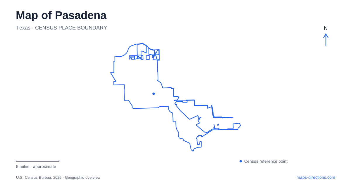
Street tiles load from OpenStreetMap when opened. The blue line shows the 2025 Census boundary.
- State
- Texas
- Population · July 2025
- 148,539
- Land area
- 43.7 sq mi
- Water area
- 1.1 sq mi
Pasadena, Texas, has a map that connects several very different versions of the Gulf Coast landscape. Historic houses on South Main Street preserve memories of an agricultural community. Strawberry Park combines recreation with a distinctive mid-century pavilion. Farther southeast, Armand Bayou Nature Center protects habitats that once covered much more of the surrounding region. The bayous add a deeper framework, linking settlement, transportation, conservation, and the shape of the land itself.
Houses that preserve an agricultural past
Heritage Park and Museum is at 204 South Main Street. Its group of historic buildings includes the Pomeroy House, Strawberry or Parks House, Miss Anna's House, and Edna's House. The city presents these places as a way to understand the community's early agricultural years through household settings, antiques, and family memorabilia. This is a collection of domestic spaces rather than a single purpose-built exhibition hall.
The different house names matter because they retain the association between individual families and the wider settlement story. A visit can be organized around rooms, objects, and accounts of ordinary life instead of treating history solely as a list of civic milestones. For Pasadena, this small museum group offers a scale of interpretation that a regional industrial map cannot provide. The buildings give visible form to the people and households behind the later city.
Strawberry Park's mid-century landmark
Strawberry Park occupies approximately fifty acres at 1104 Parkside Drive. The city acquired the site in 1958, and its pavilion was constructed in 1966 to a design by Charles Holcomb of Fitch and Holcomb. The pavilion is therefore a specific architectural landmark within a larger recreation area, not simply a generic shelter attached to a playing field.
The park includes courts, ball fields, trails, exercise stations, a recreation center, and aquatic facilities. It also contains the city's war memorial. These different uses give the grounds a civic role beyond sport: people gather here for recreation, remembrance, and shared events. On a Pasadena map, the pavilion can serve as a recognizable point within an extensive public property whose individual facilities occupy different parts of the site.
The museum's Strawberry House and Strawberry Park should remain separate destinations. Their shared word reflects local identity, but their addresses and functions differ. One belongs to a historic-house collection on South Main; the other is a large recreation landscape on Parkside Drive.
Vince Bayou and an older crossing
Vince Bayou carries a history that predates the incorporated community. The Harris County Historical Commission describes a cedar bridge destroyed in 1836 by Deaf Smith and his men under Sam Houston's orders, preventing its use by the Mexican army during the San Jacinto campaign. County records document a replacement bridge completed in 1872. The bayou was thus a transportation obstacle and strategic crossing long before today's surrounding streets developed.
The historical commission also describes the area as open prairie with scattered cattle use before later railway-led development. These accounts help place the city within a changing regional landscape. A bayou on a modern map can look like a minor drainage line, yet the need to cross it influenced movement and events. Its significance comes from that relationship between water, routes, and the people traveling through them.
Armand Bayou on the southeastern edge
Armand Bayou Nature Center is reached at 8500 Bay Area Boulevard, on Pasadena's southeastern boundary. The operator identifies the surrounding context as a mixture of residential development, the Bayport industrial area, and major research and educational institutions. Within that developed region, the preserve protects a contrasting landscape of forest, marsh, bayou, and coastal tallgrass prairie.
The center was founded in 1974 following conservation efforts initiated by Armand Yramategui and continued by Hana Ginzbarg after his death. The original preservation campaign secured about 2,500 acres, while a major 2024 expansion brought additional land into protection. Those dates describe an ongoing conservation effort rather than a landscape whose boundaries and management have remained fixed.
The visitor trail network includes short loops through several habitats. The Discovery Loop begins at the Hana Ginzbarg Welcome Center and combines an elevated wetland-and-forest boardwalk with learning areas and a prairie-viewing platform. The operator also identifies more than five miles of trails across the visitor network. The farm interpretation area is a re-creation of a typical nineteenth-century farm, named for local resident Jimmy Martyn; it should not be mistaken for an entirely untouched surviving farmstead.
A map of Pasadena becomes more useful when these settings retain their individual meanings. South Main offers household history, Parkside Drive a substantial civic park, Vince Bayou a record of crossings and movement, and Bay Area Boulevard access to protected coastal habitats. Together they show how agriculture, recreation, infrastructure, and conservation occupy different but connected parts of the city.
Map and statistics: U.S. Census Bureau, 2025 Gazetteer, January 2025 generalized place boundaries and Vintage 2025 population estimates. Local references: City of Pasadena; Harris County Historical Commission; Armand Bayou Nature Center. Article prepared by Maps & Directions.