Map of Parma
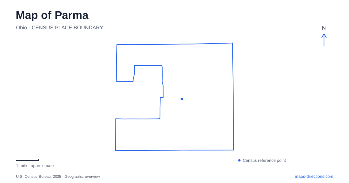
Street tiles load from OpenStreetMap when opened. The blue line shows the 2025 Census boundary.
- State
- Ohio
- Population · July 2025
- 78,581
- Land area
- 20.0 sq mi
- Water area
- 0.0 sq mi
Parma is best understood through its long neighborhood roads and the green valleys between them. Ridge Road carries commercial and historical landmarks, State Road anchors another set of community destinations, and West Ridgewood Drive connects places with quite different relationships to water. These routes make a useful framework for reading a city that has both familiar suburban streets and substantial wooded terrain. The interesting details appear when cultural districts, surviving farm buildings, and watershed projects are placed on the same map.
Two neighborhood corridors
Polish Village occupies Ridge Road between Pearl Road and Thornton Avenue. Its community organization describes a commercial district with a broad mix of shops and services, including food businesses representing several cultural traditions. The Polish Constitution Day parade is one expression of the district's identity, but the street also functions as an everyday shopping corridor. Reading it as a length of road, rather than a single attraction, gives a better sense of the neighborhood.
Ukrainian Village follows State Road between Tuxedo Avenue and Flatwood Drive. Established in 2009, the district celebrates Ukrainian American culture while supporting neighborhood businesses and community development. These two named areas give Parma distinct cultural reference points along different roads. Their boundaries are useful when deciding which part of a long commercial street a destination belongs to, especially when a business description uses a neighborhood name instead of explaining its cross streets.
The roads themselves also preserve earlier local history. The city traces Snow Road's name to the Snow family's farm around the intersection with State Road. Rockside Road recalls the area's stone quarries, whose material served projects including canal locks and the Lake Erie break wall. Such names add another layer to an otherwise ordinary street map: agricultural movement and quarrying left traces that remain visible in today's routes.
A farmstead on Ridge Road
Stearns Homestead at 6975 Ridge Road offers a more tangible connection to Parma's rural past. Two houses illustrate different periods of domestic life: the Stearns house dates from approximately the 1850s, while the Gibbs House is associated with around 1920. The organization furnishes them as period museums, allowing the same property to present more than one moment in local history.
The working farm setting and its animals also matter to the visit. This is a place where buildings belong to a larger collection of agricultural spaces and activities, rather than standing as isolated architectural exhibits. Its position on Ridge Road creates an informative contrast with the commercial district farther along the same named corridor. A route following that road can therefore reveal both the city's trading streets and a surviving reminder of the land uses that preceded suburban development.
House access depends on guided-tour availability, so the grounds and the interiors should be understood as different parts of the experience. The homestead is maintained with volunteer participation, and its historical interpretation is closely tied to the preservation of the farm property itself.
West Creek's valley and overlook
West Creek Reservation reveals a different side of Parma: shale bluffs, wooded slopes, and wetlands within the urban area. The Watershed Stewardship Center at 2277 West Ridgewood Drive lies just west of Broadview Road. Its work joins public education with research into urban watersheds and stormwater management, making the reservation both a recreational landscape and a place where environmental techniques can be examined on the ground.
Several named trailheads help explain the park's layout. Bluebird Point provides access to the All Purpose Trail and opportunities for birdwatching. Keystone Loop has its own parking area and a connection toward Skyline Overlook Trail. The overlook's view toward downtown Cleveland creates a particularly useful geographic moment: the wooded valley and the larger metropolitan landscape can be understood together.
The reservation contains natural and constructed wetlands, so the water features have different origins even when they appear similar on a small map. Around the stewardship center, native gardens and stormwater installations make those processes more explicit. Following a trail here is consequently an opportunity to see both the underlying creek landscape and efforts to improve how developed land handles runoff.
Recreation around reconstructed basins
Anthony Zielinski Park at 7620 West Ridgewood Drive combines a playground, pavilion, gazebo, and splash pad with a green-infrastructure basin. A walkway, benches, and a library-partnered Story Walk add reasons to follow the water's edge. Vehicle circulation is unusually specific: Ridgewood Lake Drive leads into the splash-pad parking area, while Roycroft Drive provides the exit under the posted one-way arrangement.
Veterans Memorial Park on State Road combines ballfields, courts, disc golf, and a walking path. Its reconstructed basin adds another example of water management incorporated into public recreation. Viewed alongside West Creek and the homestead, these parks show Parma through several complementary landscapes: historic agricultural ground, established neighborhood corridors, protected valley habitat, and civic spaces designed to manage water while serving daily community life.
Map and statistics: U.S. Census Bureau, 2025 Gazetteer, January 2025 generalized place boundaries and Vintage 2025 population estimates. Local references: Polish Village organization; City of Parma; Stearns Homestead; Cleveland Metroparks; West Creek Conservancy. Article prepared by Maps & Directions.