Map of Parkland
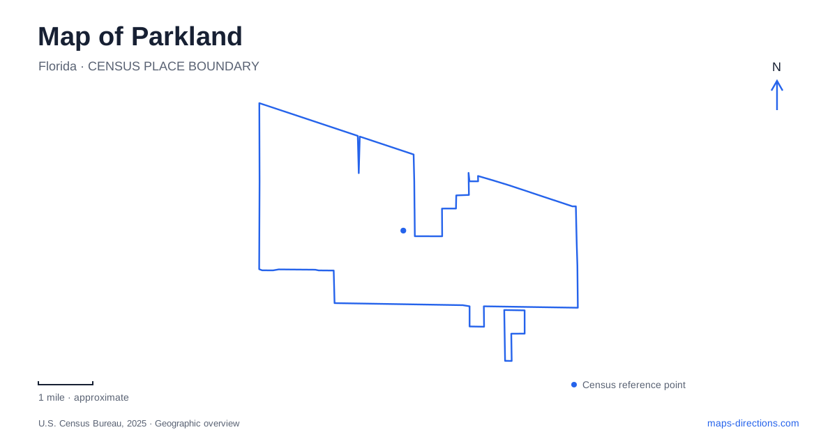
Street tiles load from OpenStreetMap when opened. The blue line shows the 2025 Census boundary.
- State
- Florida
- Population · July 2025
- 39,186
- Land area
- 12.6 sq mi
- Water area
- 1.8 sq mi
Parkland developed from a cattle farmer’s land into a residential city whose public places still reflect a rural beginning. Ranch Road, an equestrian center, and a preserve containing several native habitats give the map a different emphasis from a traditional downtown street grid. The most useful reference points are individual recreation grounds and community buildings. Their names describe different kinds of destinations: a sports field, an indoor class, a riding ring, and a wetland boardwalk should each have their own marker.
Ranch parcels and a young municipality
The city’s history traces incorporation in 1963 to Bruce B. Blount, who bought more than a thousand acres with his father. He began dividing land into BBB Ranches parcels in the late 1950s. State representative Emerson Allsworth helped secure the charter. These origins explain why ranch terminology appears in a place that now has extensive residential development.
Early public services were small and improvised. The first library occupied the concession stand at Quigley Park; paved roads arrived in the 1980s, followed by the first traffic light in the 1990s. That sequence puts the current map in perspective. Parkland did not grow around a nineteenth-century courthouse square or rail terminal. Its recreational and civic destinations developed within a much younger community, and an older park can carry institutional history beyond its current play equipment.
Pine Trails as a recreation campus
Pine Trails Park is listed at 10555 Trails End. Its combination of multipurpose playing fields, baseball facilities, basketball courts, playground, fishing pier, and walking paths makes it a campus with several purposes. The amphitheatre provides another focus, particularly when performances bring visitors to the same grounds used for sports. A park-wide label is useful for orientation, but a meeting arrangement works better when it names the relevant field, stage, or pavilion.
The indoor recreation and enrichment center, usually abbreviated P-REC, has its own address at 10559 Trails End. It contains a gymnasium, dance room, and multipurpose rooms used for fitness and enrichment activities. A class destination therefore differs from the outdoor sports grounds even though both belong to the Pine Trails setting. Keeping those two addresses separate helps explain why search results can show neighboring pins with closely related names.
For a Parkland outing, this campus is the practical choice when the plan combines scheduled recreation with outdoor activity. It serves a different purpose from the quieter habitat preserve on Parkside Drive.
Native habitats along one short route
Doris Davis Forman Wildlife Preserve occupies twenty acres at 7300 Parkside Drive. Its protection involved the Forman family, city and county government, and the local elementary-school community, supported by Broward County’s 1989 environmentally sensitive lands bond program. The site provides a physical reminder that native environments survive within the developed community.
The pedestrian route changes character as it crosses those environments. A 900-foot path passes through pine woods, while a 1,550-foot boardwalk crosses cypress wetlands and passes an oak hammock. Seating and observation areas let visitors pause along the route. On a map, these lengths describe internal pedestrian access through a compact protected site; they do not imply a road crossing the wetland. The boardwalk is part of the habitat experience rather than a shortcut between surrounding properties.
Two different stops on Ranch Road
The Equestrian Center at Temple Park stands at 8350 Ranch Road. Two riding rings and adjoining open ground preserve an active connection with the community’s horse culture. The open space also accommodates the farmers market during its November-to-April season. An event visit and a riding session may consequently use the same named grounds for very different reasons.
Farther along the same named road, Liberty Park is listed at 9200 Ranch Road. Its seven acres include two playgrounds, a water-play area, and a large pavilion. These facilities make it a distinct family recreation destination, not another name for the riding center. Both locations offer gathering space, but their defining features differ. Identifying the intended park before selecting a Ranch Road address is especially useful when coordinating a group.
Reading the local park network
Parkland parks should be compared by function as well as proximity. Pine Trails brings fields, performances, and indoor activities together; the Forman preserve focuses on native vegetation and pedestrian observation; Temple Park provides riding facilities; Liberty emphasizes play and gatherings. The shared green coloring on a digital map can conceal these differences.
The municipal park directory also distinguishes where dogs are permitted, identifying the equestrian grounds and Barkland Dog Park as exceptions to the general restriction elsewhere. That is a practical reason to choose a destination by its actual facilities and rules. A useful map of Parkland connects the city’s ranching history with these present-day public spaces, while preserving the individual identity of each place.
Map and statistics: U.S. Census Bureau, 2025 Gazetteer, January 2025 generalized place boundaries and Vintage 2025 population estimates. Local references: City of Parkland. Article prepared by Maps & Directions.