Map of Paramount
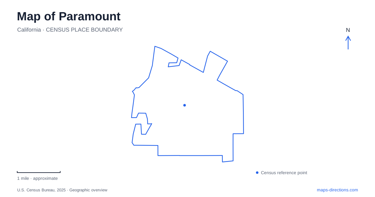
Street tiles load from OpenStreetMap when opened. The blue line shows the 2025 Census boundary.
- State
- California
- Population · July 2025
- 50,755
- Land area
- 4.7 sq mi
- Water area
- 0.1 sq mi
Paramount's map contains traces of a dairy district, an unusual ice-skating invention, and a network of parks fitted into a developed urban landscape. The historical communities of Clearwater and Hynes joined in 1948, and the city incorporated in 1957. Their names still help explain local identity, especially around the civic center and the old commercial area. Rather than looking for one monumental downtown landmark, a visitor can follow a series of smaller places whose histories connect agriculture, industry, and recreation.
The tree that recalls the hay trade
The Hay Tree stands at 16475 Paramount Boulevard. It is a camphor tree associated with the region's former dairy and hay economy, protected as a California historical landmark. The significance lies in the trading activity once gathered around it. Hay dealers used the location as a meeting place, and prices announced there became associated with the wider market.
A tree can be easy to overlook among commercial parcels and street intersections, yet this one provides an unusually direct reminder of what supported the surrounding settlement before industrial and residential development. The agricultural landscape has largely disappeared; the tree remains a physical reference to that earlier economy. Its historical meaning is therefore different from that of a recently planted civic landscape feature.
The city's purchase of the Hay Tree property was completed in 2025. That preserves a locally important site, but the purchase itself should not be read as proof that every proposed future recreational improvement has been built. The tree's existing historical role is sufficient reason to understand its location on a neighborhood map.
Jackson Street and an invention on ice
Iceland's skating rink at 8041 Jackson Street tells another locally rooted story. Frank Zamboni, his brother, and a cousin opened the rink in 1940. Maintaining its ice required a lengthy sequence of scraping, removing shavings, washing, and preparing a new surface. The difficulty of that practical task drove the development of a machine that could combine the work.
By 1949, Zamboni had produced the Model A ice resurfacer. This was an invention developed in response to an actual local business problem, rather than a technology merely commemorated here after being created elsewhere. The rink and the manufacturer belong together in the city's history, though they occupy different addresses and serve different purposes.
The manufacturer's facility is at 15714 Colorado Avenue. Its published visitor information states that factory tours are not available and directs people interested in restored machines and historical displays to Iceland. A map of Paramount can therefore distinguish a working production facility from the skating venue associated with the invention. That is a useful difference for anyone planning a visit around the Zamboni story.
Civic spaces and the Downey Avenue corridor
City Hall occupies 16400 Colorado Avenue. The Clearwater Building provides community meeting space beside the civic center, preserving one of the area's earlier place names in a public facility. Colorado Avenue thus connects an administrative setting with another part of the city's industrial story, although the two destinations are not the same property.
Progress Park is at 15500 Downey Avenue. Its community facilities include the Progress Plaza auditorium, while its walking route and exercise stations serve everyday recreation. Nearby on the same avenue, the City Yard is listed at 15300. These addresses make Downey Avenue an important reference for municipal services as well as park visits.
Farther through the park network, Paramount Park contains a community center with auditorium and meeting space. Spane Park and its learning center are identified with Gundry Avenue. The network is distributed through neighborhoods, which is why choosing a park by its facilities and street is more helpful than treating all recreation as concentrated around City Hall.
Dills Park and everyday open space
Ralph C. Dills Park sits at 6500 San Juan Street. Its nature trail and smaller walking circuit offer a different setting from an indoor community meeting. The south field retains a passive-recreation designation intended for uses such as picnicking, birdwatching, and walking rather than organized sports. Elsewhere within the park, the soccer mini-pitch serves a more active purpose.
The 2025 improvements included the community orchard project, adding another local connection to growing food. This modern public use differs from the old dairy economy, but both help explain why planted space has meaning beyond appearance. Looking across the Hay Tree, Jackson Street rink, Colorado Avenue facilities, and neighborhood parks gives Paramount a specific identity on the map: a compact set of streets where several generations of work and community life remain visible.
Map and statistics: U.S. Census Bureau, 2025 Gazetteer, January 2025 generalized place boundaries and Vintage 2025 population estimates. Local references: City of Paramount; California State Parks; Zamboni Company. Article prepared by Maps & Directions.