Map of Palo Alto
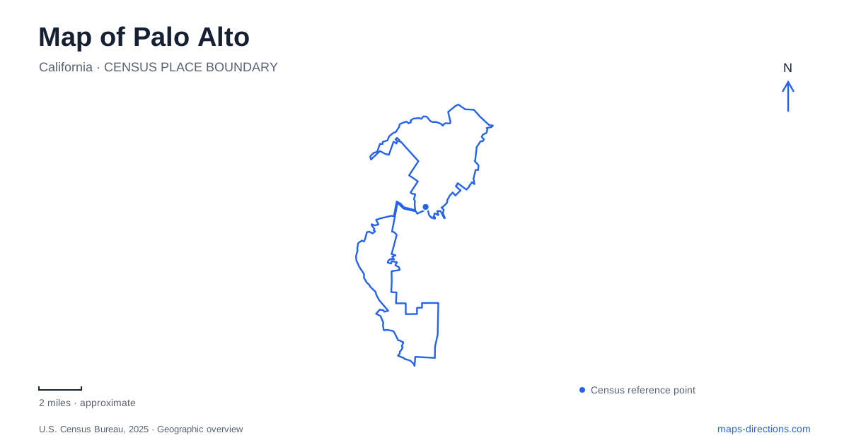
Street tiles load from OpenStreetMap when opened. The blue line shows the 2025 Census boundary.
- State
- California
- Population · July 2025
- 67,609
- Land area
- 24.1 sq mi
- Water area
- 1.9 sq mi
Palo Alto spans landscapes that a single downtown marker cannot explain: commercial streets associated with two different town histories, marshland beside the bay, and preserves rising toward the hills. The contrast is not simply urban versus rural. University Avenue and California Avenue have distinct origins, while the Baylands and foothill properties protect very different habitats. A useful map keeps those distinctions visible and treats the roads between them as transitions across the Peninsula's terrain.
Two commercial centers have separate roots
The city's historical account places the earlier settlement of Mayfield near present-day California Avenue and El Camino Real. A roadhouse established in 1853 helped anchor the community, and the railroad reached it in 1863. Farming and the lumber trade in the western hills contributed to its early economy. Mayfield was thus an established place before the university-oriented town developed nearby.
Timothy Hopkins subsequently developed University Park, which became Palo Alto and incorporated in 1894. Mayfield was annexed in 1925. Those separate origins help explain why California Avenue should not be read merely as a secondary street within the University Avenue district. Each belongs to a different historical center. The modern commercial geography retains that distinction even though both now sit within one municipality. Comparing them on a map reveals a city assembled over time, rather than a single center that expanded evenly in every direction.
The railway reinforces the distinction
The city identifies two regular Caltrain stops: Palo Alto station and California Avenue station. The former is associated with the University Avenue end of downtown, while the latter serves the other commercial corridor. Station names therefore provide useful clues to which district a trip actually concerns. They are not alternative labels for one platform or one downtown arrival point.
The historical society locates the University Avenue depot area at Alma Street, a transportation focus since the town's early development. This relationship between railway and commercial street is visible in the map's organization. It also provides a practical way to compare the two districts without relying on the broad phrase city center. Choosing between them begins with the particular avenue and its adjoining blocks, then the station that serves that setting. The rail corridor ties the districts into a regional system while preserving their separate local identities.
Embarcadero Road leads toward marsh habitat
The Baylands Nature Preserve occupies a low-lying environment of salt marsh, mudflat, and other wetland habitats. The Lucy Evans interpretive center is listed at 2775 Embarcadero Road. Other named features include the Duck Pond, Harriet Mundy Marsh, Emily Renzel Wetlands, and Byxbee Park Hills. Those names describe several components within a broad open-space landscape, rather than a single compact park around the center.
For Palo Alto, this bay edge supplies a strong counterpoint to the commercial avenues. The terrain is organized by water and habitat, and trails allow observation from designated routes. Byxbee's hills and the wetlands should be understood as different settings within the wider area. A visit centered on the interpretive facility is consequently different from an extended walk exploring the preserve. The municipal map is especially useful here because it identifies the individual landscape features that a general road map may compress beneath one large label.
Arastradero is a landscape of grassland and elevation
Pearson-Arastradero Preserve is listed at 1530 Arastradero Road. The city describes rolling grassland and evergreen forest, with elevations rising from about 275 feet in the northeast to 775 feet in the southwest. Its more than ten miles of trails accommodate hiking, cycling, and horseback riding, but some sections close after heavy rain to protect soft ground.
The lake within the preserve permits fishing under applicable rules but does not permit boats or swimming. This is therefore a walking and habitat destination rather than a launch site. Its name honors Enid Pearson, whose work helped protect municipal parkland; the renaming took place in 2004. The combination of changing elevation, seasonal trail management, and preservation history makes this property distinct from the nearly level marsh setting beside the bay. The two preserves share a conservation purpose while offering very different terrain.
Page Mill Road reaches another foothill preserve
Foothills Nature Preserve uses the approach at 3300 Page Mill Road. Its approximately 1,400 acres include chaparral, woodland, fields, streams, and a lake, with views toward the bay from Vista Hill. The city's current information explicitly states that it welcomes all guests, an important correction to older maps that describe a residents-only park.
This preserve is separate from Pearson-Arastradero even though the protected landscapes adjoin one another. For a map of Palo Alto, the distinction matters because Page Mill Road and Arastradero Road organize different arrivals into the hills. Taken together with the two commercial avenues and Embarcadero's marshland approach, they reveal a city whose geography extends across several environments. Its identity is best understood through those relationships between settlement history, transportation, and protected terrain.
Map and statistics: U.S. Census Bureau, 2025 Gazetteer, January 2025 generalized place boundaries and Vintage 2025 population estimates. Local references: City of Palo Alto; Palo Alto Historical Association. Article prepared by Maps & Directions.