Map of Palm Coast
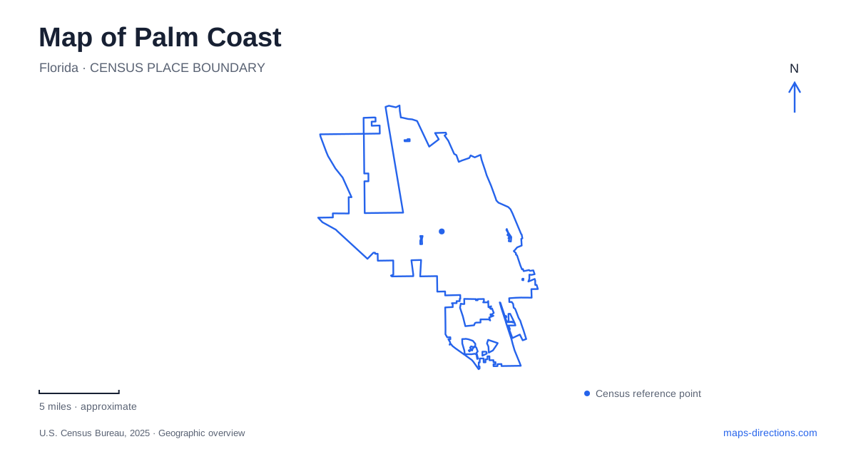
Street tiles load from OpenStreetMap when opened. The blue line shows the 2025 Census boundary.
- State
- Florida
- Population · July 2025
- 109,886
- Land area
- 96.3 sq mi
- Water area
- 1.2 sq mi
Palm Coast is best read through the relationship between its major roads, wooded trail corridors, and the Intracoastal Waterway. Its gathering places are distributed among waterfront parks, residential districts, and the designated Town Center. A map that shows only the coastline misses much of this structure. US 1, Interstate 95, Old Kings Road, and the east-west parkway provide a broader framework, while named parks reveal how public spaces fit between the transportation corridors and water. The result is a city with several useful geographic anchors rather than one dominant historic square.
Following the parkway toward the water
Palm Coast Parkway connects the US 1 corridor with the Hammock Dunes Bridge, crossing the Interstate 95 area on the way. Municipal road-project descriptions identify Pine Lakes Parkway, Belle Terre Parkway, Cypress Point Parkway, and Florida Park Drive among its important intersections. These names are useful for locating a destination within the larger corridor rather than relying only on a subdivision label.
The divided road also contains an unusual park setting. Linear Park occupies approximately 57 acres between its eastbound and westbound lanes, with the public address at 31 Greenway Court. The wooded land between the roadways is therefore a substantial recreational space rather than simply a narrow landscaped median. Paths, an outdoor classroom, picnic areas, and bird habitat give this portion of the corridor a different character from its commercial intersections.
St. Joe Walkway extends the walking experience beyond the park's immediate facilities. The city's StoryWalk installation begins at the trailhead and continues onto that walkway, distributing illustrated reading stations over about half a mile. For families, this supplies a recognizable short outing within a much larger path network. For map readers, it shows how a named municipal park and a named linear trail can overlap without describing precisely the same area.
The Intracoastal shoreline
Waterfront Park places Palm Coast's public recreation directly beside the Intracoastal Waterway. Its address, 150 Waterfront Park Road, identifies a separate approach from Greenway Court. The roughly 20-acre grounds include a fishing pier, floating dock, picnic facilities, and trail access. The principal geographic feature is the inland waterway, whose boating landscape differs from the Atlantic surf beyond the barrier shore.
The Children's Memorial Garden lies approximately a quarter-mile north of the park along the Intracoastal trail. Oak shade, memorial benches, and paved walkways give it a reflective purpose within the wider recreational corridor. This northward relationship is useful when reading a park map: the garden is associated with the waterfront trail system but occupies its own setting beyond the main activity area. The trail and shoreline link these places, while their names explain their different uses.
Town Center's inland gathering space
Central Park at 975 Central Avenue provides another organizing point for Palm Coast. The city describes this as the heart of its designated downtown in Town Center. A brick walking circuit of about half a mile surrounds the fountain, while open space and an amphitheater area support public gatherings. The setting is deliberately arranged around a civic park rather than around the Intracoastal shoreline.
The difference between Central Park and Waterfront Park is especially informative. Both contain paths and water views, but one serves an inland civic district and the other follows a navigable coastal waterway. Their addresses and street names establish two separate clusters on the map. An event advertised in Town Center belongs to the Central Avenue setting; a walk along the Intracoastal belongs to the eastern waterfront network.
Wetlands and the coastal garden landscape
Graham Swamp illustrates why the city's trail map also needs maintenance context. The municipal rehabilitation project identifies deterioration of wooden boardwalks, bridges, and trail surfaces in wetland conditions. Use the city's trail guidance to establish access through the wetland sections rather than relying on the rehabilitation project's proposed layout. An older recreational map may show that line as a connection, but it should not be used to construct an uninterrupted outing without checking the condition of its crossings.
Farther into the coastal landscape, Washington Oaks Gardens State Park at 6400 North Oceanshore Boulevard combines formal gardens with two distinct water edges. The Matanzas River forms its western boundary, while coquina rock formations characterize the Atlantic beach. Oak hammock, planted gardens, and coastal rock therefore appear together within one park designation. Visitor-center admission and maintenance arrangements should be checked separately from the garden and shoreline routes. Placing these river, wetland, and ocean settings alongside the parkway and Town Center makes Palm Coast's varied geography much easier to understand.
Map and statistics: U.S. Census Bureau, 2025 Gazetteer, January 2025 generalized place boundaries and Vintage 2025 population estimates. Local references: City of Palm Coast; Florida State Parks. Article prepared by Maps & Directions.