Map of Palm Bay
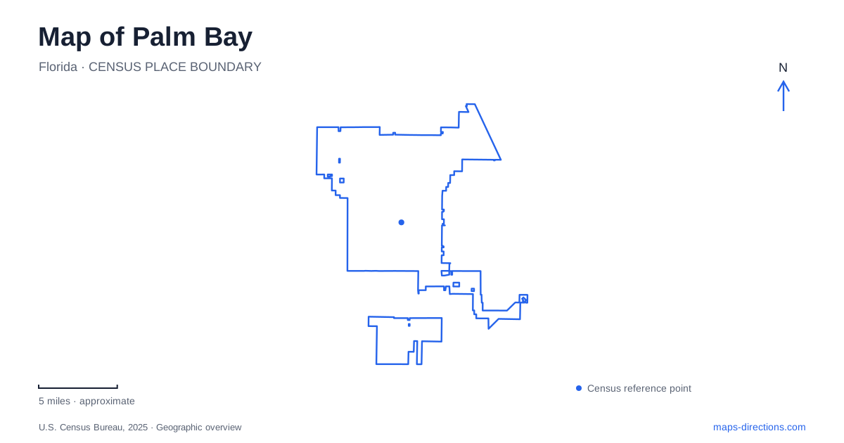
Street tiles load from OpenStreetMap when opened. The blue line shows the 2025 Census boundary.
- State
- Florida
- Population · July 2025
- 148,092
- Land area
- 86.7 sq mi
- Water area
- 1.5 sq mi
Palm Bay's older waterfront story begins around the mouth of Turkey Creek, while much of the surrounding city reflects later residential expansion. The creek remains a useful thread through that changing landscape. It connects historical settlement, public boat access, protected woodland, and trails extending toward neighboring Malabar. Reading those relationships gives the map more meaning than viewing the shoreline and inland neighborhoods as separate worlds.
From Tillman to a larger residential city
The city's bayfront redevelopment plan describes the nineteenth-century settlement as Tillman. Settlers planted orange groves along Turkey Creek, harvested timber, and raised cattle. The railroad's arrival in 1894 improved the setting for agricultural trade. In the 1920s, the Melbourne-Tillman Drainage District's canal project opened extensive marshland to cultivation, changing both the economy and the movement of water across the landscape.
Tillman took the name Palm Bay in 1925. Later growth followed the arrival of military aviation and space-related industries, while General Development Corporation's Port Malabar project introduced large-scale residential development south of Turkey Creek. These changes help explain why an old creek-side settlement and a much broader neighborhood network belong to the same city. The waterway predates the subdivisions, and the older waterfront remains a distinct historical area within the expanded municipal landscape.
The sanctuary follows changes in habitat
Turkey Creek Sanctuary is at 1518 Port Malabar Boulevard Northeast. Established in 1981, the 130-acre preserve includes wet hammock, moist hammock, and sand-pine scrub communities. The city's description identifies a 1.85-mile boardwalk and separate jogging trails. Its Margaret Hames Nature Center opened in 1992, adding interpretation and environmental education to the outdoor setting.
The habitat changes are part of the reason to explore the sanctuary. Wet ground beside the creek supports a different community from the drier sandy areas, so a relatively compact preserve can contain several recognizable environments. In Palm Bay, the boardwalk provides a way to observe those transitions without treating the creek as merely a blue line between developed parcels. The nature center supplies context for the plants, animals, and water relationships encountered along the route.
The sanctuary is also part of the county's Environmentally Endangered Lands program and the Great Florida Birding Trail. Its rules distinguish it from an ordinary neighborhood playground: pets are excluded, with service animals permitted. That designation reinforces the site's purpose as protected habitat and an educational landscape, even though residential streets are close by.
Connections into the Malabar scrub landscape
The adjoining regional trail system extends beyond one city's boundaries. The Town of Malabar describes a 577-acre scrub sanctuary divided into east and west sections by the Richard E. Cameron Sr. and Volunteers Preserve. The Al Tuttle Boundary Canal Trail runs along the sanctuary's northern and eastern edges. This arrangement produces a network of separate protected areas rather than one park with a single entrance.
The east side can be reached by the Capon Street pedestrian bridge from the neighboring city, while western approaches include Port Malabar Boulevard and an Englar Avenue trailhead. Two extensive trail bridges cross a tributary of Turkey Creek on the western side. These named approaches are useful for a Palm Bay walking or cycling map because they show where the municipal street network meets the regional conservation landscape.
The town identifies scrub, pine flatwoods, hammocks, ponds, sloughs, and depression marshes among the protected habitats. Prescribed fire helps maintain conditions for species such as the Florida scrub-jay and gopher tortoise. The trail system therefore connects environments shaped by both water and periodic fire, not simply a continuous strip of shade trees.
Two different waterside parks
Castaways Point Park is at 2990 Bay Boulevard Northeast. Its facilities include a fishing pier, a kayak and canoe launch, paved walkways, overlooks, and picnic areas. The arrangement emphasizes spending time along the water, with several ways to view or use the shoreline from a relatively compact public destination.
Goode Park, at 1300 Bianca Drive Northeast, offers a different combination. The city lists a boat ramp, dock, playground, pavilion, and the Captain's House. Its position beside Turkey Creek places boating and community gatherings within the same setting. The pavilion and house give it a social function alongside its role as an access point to the water.
A map of Palm Bay becomes clearer when these destinations are read as parts of one creek-and-shoreline story. Tillman's agricultural past explains the older settlement; the sanctuary protects a range of creek-side habitats; the Malabar connections extend into scrub country; and the two waterside parks provide distinct public facilities. Together they reveal a landscape where development and conservation meet along routes older than the surrounding neighborhoods.
Map and statistics: U.S. Census Bureau, 2025 Gazetteer, January 2025 generalized place boundaries and Vintage 2025 population estimates. Local references: City of Palm Bay; Town of Malabar; Brevard Indian River Lagoon Coalition. Article prepared by Maps & Directions.