Map of Oxnard
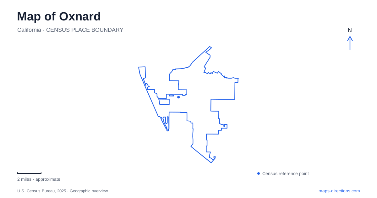
Street tiles load from OpenStreetMap when opened. The blue line shows the 2025 Census boundary.
- State
- California
- Population · July 2025
- 199,651
- Land area
- 26.5 sq mi
- Water area
- 12.6 sq mi
Oxnard has a downtown, an agricultural past and an oceanfront, but those features do not all occupy the same neighborhood. A useful city map follows the connections between them instead of treating the entire community as a beach resort. Inland, C Street links civic spaces and preserved architecture. Farther west, Harbor Boulevard serves a shoreline of dunes, lawns and maritime recreation. The harbor's enclosed basins introduce another landscape altogether, shaped by dredging and the movement of sand along the coast.
C Street's civic and architectural landmarks
Plaza Park, at 500 South C Street, is a practical starting point for understanding downtown Oxnard. Its bandstand was constructed in 1910, and a veterans memorial adds a commemorative role to a space used for public celebrations. Centennial Plaza sits across from the park, with restaurants and a cinema contributing a different kind of gathering place within the same central district.
Immediately north of the park stands the former Carnegie-funded library, built in 1906. Its classical architecture differs from the residential buildings preserved at nearby Heritage Square. That contrast makes a short downtown walk more informative than a list of isolated historic properties: civic investment, public entertainment and domestic architecture can be compared within a compact area.
The John C. Zaragoza Transit Center adds a regional connection to this local geography. Amtrak, Metrolink and bus services bring travelers into the downtown district. Murals inside the station also make the transport building part of the area's cultural landscape, rather than merely a place to change vehicles.
Preserved houses and a surviving farmstead
Heritage Square gathers restored Victorian and Craftsman-era buildings along C Street. Its architecture spans different household scales and styles, with landscaped paths allowing visitors to inspect the buildings together. The square also accommodates businesses and public events, so it functions as an occupied part of downtown rather than a collection viewed only through museum windows.
A different preservation story survives at the historic farm park on Gottfried Place. The foundation operating the site works to preserve two structures dating to the 1870s, display agricultural equipment and grow crops associated with the area's past. Its small footprint makes the farmstead especially revealing: the surviving buildings and garden plots concentrate a rural history within the modern city.
The foundation acquired the property from the city in 2022. For a map of Oxnard, this is a useful reminder that the agricultural landscape cannot be understood only from today's large fields. A small preserved site can explain earlier building practices and crops even when surrounding land uses have changed. The visitor address is 1251 Gottfried Place; the foundation's mailing address is in Camarillo.
Lawns, dunes and the ocean edge
At 1601 South Harbor Boulevard, ‘olołkoy Beach Park combines a landscaped public park with access toward the sandy shore. Maps and older references may retain its former name, Oxnard Beach Park. Recognizing both names prevents a familiar beach from appearing to be two separate destinations.
The park's lawns, picnic areas, volleyball facilities and playground sit behind the beach. Paths through the dune landscape connect the recreational grounds with ocean views. Ed Hunt Rehab Point includes an accessible paved loop behind the shoreline, providing a defined place to appreciate the coast without assuming that loose beach sand offers the same surface as the park paths.
This arrangement gives the oceanfront several distinct layers. Harbor Boulevard is the approach corridor; the park supplies maintained facilities; dunes mediate the transition; and the beach faces the open Pacific. A family picnic and a shoreline walk may share a starting place while using very different parts of that landscape.
Why the harbor interrupts the beach
Channel Islands Harbor is an engineered small-craft harbor, not simply a naturally sheltered indentation. Opened in 1965, it was developed alongside a system designed to manage coastal sand. The entrance and sand trap intercept material that can then be dredged and placed on beaches farther down the coast.
The harbor department explains that this system helps prevent sand from being lost into the submarine canyon off Port Hueneme. Its role therefore extends beyond the boats visible in the basins: harbor maintenance also supports beaches and shoreline facilities outside the immediate marina area. Dredging equipment, when present, belongs to that larger coastal process.
For an Oxnard-area outing, the harbor and the offshore national park should also be distinguished. Channel Islands National Park's main mainland visitor center is at 1901 Spinnaker Drive in Ventura. Visiting that building, walking a marina promenade and boarding an island excursion are separate journeys. Boat reservations identify the actual departure harbor and vessel, while the city map explains only the landward portion of the trip. Keeping that distinction clear preserves the geographic relationship between a coastal community, its working recreational harbor and the islands beyond it.
Map and statistics: U.S. Census Bureau, 2025 Gazetteer, January 2025 generalized place boundaries and Vintage 2025 population estimates. Local references: Visit Oxnard; Historic Farm Park Foundation; City of Oxnard; Ventura County Harbor Department; National Park Service. Article prepared by Maps & Directions.