Map of Owensboro
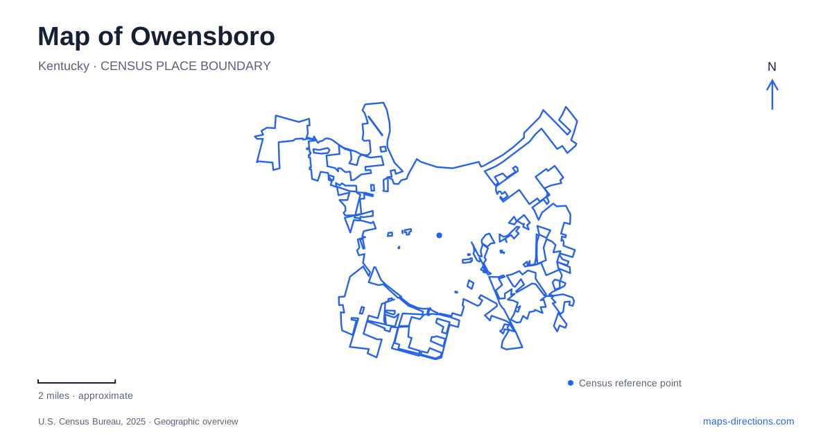
Street tiles load from OpenStreetMap when opened. The blue line shows the 2025 Census boundary.
- State
- Kentucky
- Population · July 2025
- 60,892
- Land area
- 21.3 sq mi
- Water area
- 1.5 sq mi
Owensboro faces the Ohio River, and its downtown geography is easiest to read from that water edge. Smothers Park, the RiverPark Center, and the convention-center district form a recognizable waterfront sequence. Second Street supplies an inland address line for major cultural destinations, while parks and the Adkisson Greenbelt reveal a wider city beyond the riverfront. A useful map keeps these settings connected without assuming that every major attraction belongs to one continuous waterfront walk.
Read the riverfront from east to west
The downtown river walk links the RiverPark Center side on the east with the pier behind the convention center on the west. Smothers Park lies within this public waterfront landscape, with Veterans Boulevard providing a familiar local street reference. The river itself creates a strong edge: downtown destinations extend inland on one side, while the open water remains the continuous visual reference on the other.
Smothers Park contains several smaller places within that larger setting. Its playground and spray area serve families, fountains and seating support a slower waterfront visit, and the Charles Shelton Memorial occupies the eastern end. These are useful distinctions when describing where to meet or which part of the park to explore. The park name identifies the general destination; its individual features explain the arrangement within it.
For a map of Owensboro, the waterfront sequence is particularly helpful because it turns a collection of venue names into a readable line. Someone attending an event at the RiverPark Center can understand its position relative to the park and western convention district, rather than having to memorize unrelated addresses. The river gives the whole arrangement a clear geographic orientation.
Second Street and the bluegrass destination
The Bluegrass Music Hall of Fame and Museum is at 311 West Second Street. Its purpose includes preserving and presenting the history and culture of bluegrass music through collections and performance. That cultural role belongs to a specific downtown building, even though the music identity extends throughout the city's visitor information.
Second Street also carries the convention center's address at 501 West Second. Reading these two addresses together gives a useful westward sequence in the downtown street network. The river walk and Second Street describe related but different routes through the same district: one follows the water, while the other connects street-facing destinations.
This relationship gives visitors to Owensboro two ways to organize a short downtown itinerary. A river-oriented outing can emphasize park features and views, while a museum or event visit can use Second Street as its principal reference. The routes overlap in purpose but are not interchangeable descriptions of every building's position. Keeping both lines visible makes the downtown map more intelligible.
The garden farther west
Western Kentucky Botanical Garden is at 2731 West Second Street, substantially farther along the same named corridor than the downtown museum. The repeated street name can make these places appear more tightly grouped than they are. Their address numbers reveal a broader westward journey rather than another stop in the immediate museum block.
Within the garden, the map changes scale again. Themed planting areas, paths, garden art, and historic structures become the meaningful features. Rose and children's gardens provide different settings, and the historic country doctor's office adds a built element to the horticultural landscape. This is a self-contained destination with its own internal geography, rather than another stretch of the downtown river promenade.
The garden helps show how Owensboro's cultural and outdoor attractions spread beyond the compact waterfront district. Second Street remains a common reference, but the surrounding experience shifts from downtown venues and riverbank spaces to a cultivated garden. That change is worth preserving when grouping destinations for a visit.
The Greenbelt's separate geography
Adkisson Greenbelt Park is a paved route system designed to connect neighborhoods, schools, parks, and business districts around the city. The parks department divides it into named sections. Its western route links Joe Ford Nature Park with Shifley Park; the southern sequence continues through references including Carter Road, Theatre Way, Southtown Boulevard, and Higdon Road. Horse Fork and the eastern section add another set of connections around Yewell Heritage Park.
These names describe a different outdoor network from the river walk. A Greenbelt outing is organized through neighborhood and park connections rather than solely through downtown landmarks. On a map of Owensboro, retaining the section names helps explain which part of that network a destination belongs to. It also gives a clearer picture of the city's recreational geography: the riverfront supplies a strong downtown edge, while the Greenbelt reaches through the everyday landscape farther inland. Both are useful introductions, but each reveals a different part of the community.
Map and statistics: U.S. Census Bureau, 2025 Gazetteer, January 2025 generalized place boundaries and Vintage 2025 population estimates. Local references: Visit Owensboro; Bluegrass Music Hall of Fame and Museum; Owensboro Convention Center; Western Kentucky Botanical Garden; Owensboro Parks and Recreation. Article prepared by Maps & Directions.