Map of Oviedo
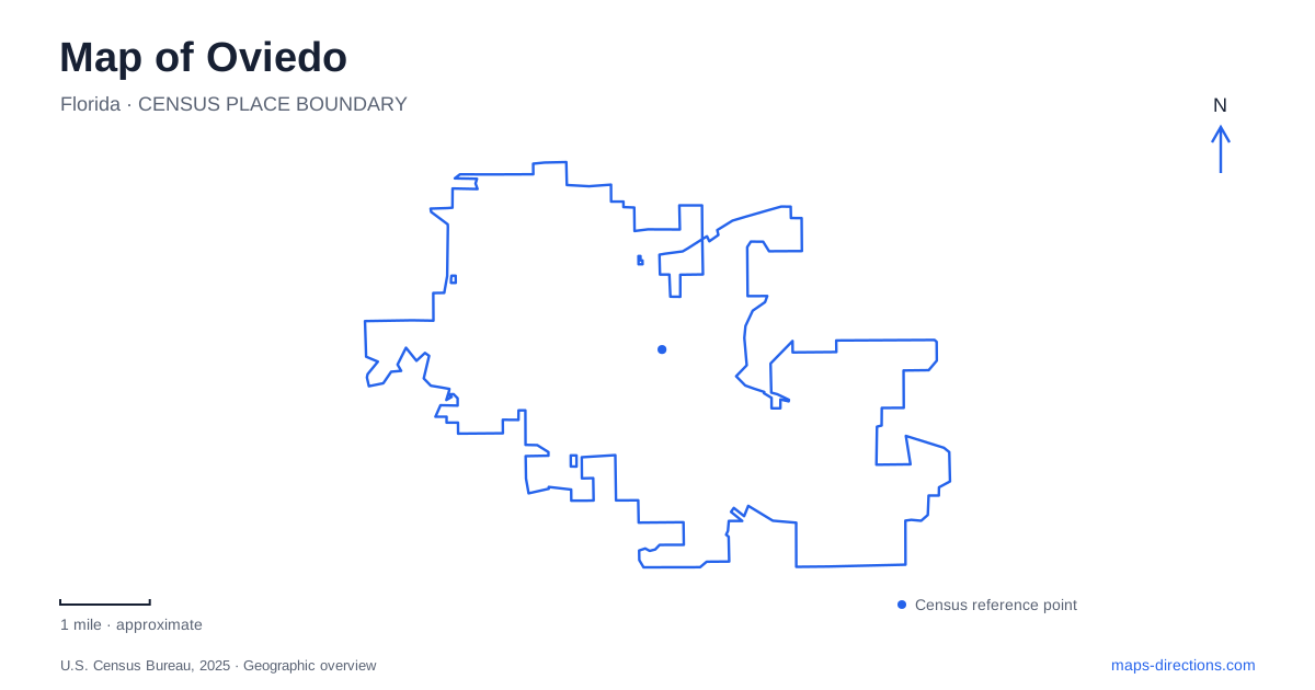
Street tiles load from OpenStreetMap when opened. The blue line shows the 2025 Census boundary.
- State
- Florida
- Population · July 2025
- 41,317
- Land area
- 15.5 sq mi
- Water area
- 0.3 sq mi
Oviedo is easier to understand when its lakes are treated as different chapters of local development. Lake Jesup belonged to the settlement's early transport and agricultural story. Center Lake anchors a newer civic and entertainment landscape. Between those themes, Solary Park links the historic commercial area with environmental design and walking infrastructure. These distinctions give the city a more specific identity than a general map of suburban streets can convey.
A settlement shaped by water and crops
The early community developed near Lake Jesup after the Civil War. The city's historical account identifies access through Solary's Wharf as an important reason for settlement. Before modern road travel became dominant, a landing on a navigable lake had practical value for moving people and goods. That waterfront connection helps explain the beginnings of a town whose present destinations are not all gathered along the lake shore.
Andrew Aulin, a Swedish immigrant and postmaster, selected the name Oviedo in 1879, drawing on the city in northern Spain. Incorporation followed in 1925. The naming of a post office and the creation of municipal government thus mark separate stages rather than a single founding event.
Agriculture also changed over time. Citrus farms and flower nurseries developed during the late nineteenth century, but the 1895 freeze damaged the citrus industry and encouraged celery and other vegetables. Some growers replanted citrus afterward. A historical reading of the map therefore involves successive uses of the land, rather than assuming that its earlier farming economy depended on only one crop.
Solary Park and the historic commercial area
Solary Park stands at Franklin Street and Geneva Drive, with a listed park address of 239 Geneva Drive and parking at 161 East Franklin Street. Its boardwalks, rain gardens, planted shore zones, and walking paths form a public landscape with an additional job: an enhanced stormwater system treats drainage associated with the historic commercial district.
That function gives the park a direct relationship with nearby redevelopment. The green space is part of the area's infrastructure, as well as a place to sit or walk. Educational displays explain watersheds, conservation areas, and natural floodplains, making the site's design part of the visitor experience.
Solary Park also provides access to the Florida National Scenic Trail. On a map of Oviedo, it is consequently useful to see the park at two scales: a small downtown destination and a point on a much larger walking network. The local paths do not exhaust the meaning of the trail designation.
A separate setting for cultural events
Center Lake Park occupies the newer district called Oviedo on the Park. The city's recreation guide places it off the boulevard through that district and describes a lakeside promenade, playground, splash pad, dog park, and boathouse. These features organize public activity around the smaller lake rather than around the historic Lake Jesup landing.
The Cultural Center and amphitheatre have their own published address at 357 Center Lake Lane. Their mix of indoor ballroom space, outdoor patio, and open-air performance setting gives the complex several uses. An event inside the building and a performance on the amphitheatre lawn are different experiences within the same lakeside district.
The promenade and smaller stages extend that pattern around the water. The lake supplies a common orientation point while individual venues face it in different ways. This makes the district readable as a collection of public spaces, rather than simply one park attached to one event hall.
Local improvements within a regional trail network
The city's transportation inventory records the Solary Park Trail Connectivity project as complete. It includes a twelve-foot-wide trail to the boulevard and a raised crossing with hybrid beacons at Geneva Drive. That is a specific pedestrian connection supported by a completed project record; other nearby road or bridge proposals should not automatically be assumed to share its completion status.
For a broader outing, the county's Cross Seminole Trail connects with the Cady Way Trail at Aloma Avenue and Howell Branch Road and extends toward the Seminole Wekiva Trail at the pedestrian bridge over Interstate 4 in Lake Mary. Black Hammock Trailhead is listed on East State Road 434 in neighboring Winter Springs. The regional route therefore carries travelers beyond municipal boundaries and beyond the downtown park setting.
Taken together, these places explain how Oviedo has changed without losing every trace of its earlier geography. The old lake connection, agricultural history, stormwater park, and cultural district each answer a different question about why a destination is where it is. Reading them together produces a more useful picture of the city than treating every lake, trail, and downtown label as equivalent.
Map and statistics: U.S. Census Bureau, 2025 Gazetteer, January 2025 generalized place boundaries and Vintage 2025 population estimates. Local references: City of Oviedo; Seminole County. Article prepared by Maps & Directions.