Map of Overland Park
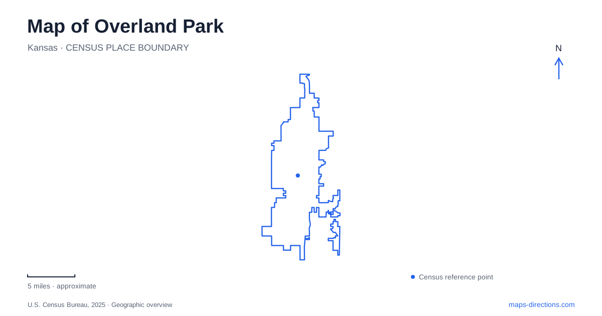
Street tiles load from OpenStreetMap when opened. The blue line shows the 2025 Census boundary.
- State
- Kansas
- Population · July 2025
- 203,677
- Land area
- 75.3 sq mi
- Water area
- 0.5 sq mi
A map of Overland Park becomes easier to understand when its older downtown is separated from the destinations farther south. The historic center occupies the area around Metcalf Avenue and the upper seventies and lower eighties of the numbered street system. The county museum sits farther along Metcalf, while the children's farmstead and municipal arboretum belong to substantially different parts of the city. Their street addresses reveal that spread, but their histories also explain the different landscapes a visitor encounters.
A town planned around movement
William B. Strang Jr. began platting subdivisions here in 1905, envisioning a planned community with parks, commerce and transportation connections. The interurban railway was central to that development. Downtown's history thus begins before the later suburban expansion that now surrounds it.
The downtown partnership defines its area as lying on either side of Metcalf between 78th and 83rd streets. Santa Fe Drive and the surviving Strang-related buildings make the older pattern visible within that area. The Strang Line Car Barn at 79th Street and Santa Fe Drive recalls the transportation system, while the carriage house in Thompson Park served the founder's personal vehicles and chauffeur's family.
These are different building types with related histories. One supported rail operations; the other belonged to a private household. Together they help make sense of early Overland Park as a place where planned residential development and transport investment reinforced each other.
Thompson Park and the older downtown
Thompson Park occupies 3.8 acres in the downtown area. Its redesign retained the historic carriage house while creating spaces for gathering and recreation. The building has been renovated as an event space, giving an older structure a continuing role within a contemporary public park.
The carriage house's limestone construction and surviving early features offer a tangible connection to Strang's period. The surrounding park is not simply a preserved private estate, however; it is a designed civic space adapted to the needs of the present downtown.
That combination makes the park useful for understanding the scale of the older center. Shops, local streets and public space are closely associated here, in contrast to the larger standalone recreational properties farther south. A downtown map benefits from showing those short connections rather than treating every attraction as a separate driving trip.
Suburban history inside a former recreation building
The Johnson County Museum is at 8788 Metcalf Avenue in the Arts and Heritage Center. It moved there in 2017 from its earlier location in Shawnee. The center occupies the former King Louie West recreation complex, with the museum in the old ice-skating rink space.
Its 1954 All-Electric House is an entire preserved residence within the collection. Originally built in Prairie Village by Kansas City Power & Light Company, the model home demonstrated appliances and domestic technologies through features such as motorized curtains and a concealed television. Five families later lived in it before it became a museum artifact.
The house gives an Overland Park museum visit a regional perspective. It documents the promises of postwar suburban living while interpretation also addresses the racially restrictive housing practices that limited access to those opportunities. Its current location records a second transformation: a leisure complex reused to examine the history of the surrounding county.
Agricultural interpretation on Switzer Road
Deanna Rose Children's Farmstead is at 13800 Switzer Road. Established in 1978 to depict a farm around the turn of the twentieth century, it uses animals, gardens, a one-room schoolhouse and other features to introduce rural life. The name commemorates a police officer killed in the line of duty.
The farmstead provides a different historical experience from the county museum. Its outdoor setting and agricultural interpretation focus attention on work, animals and food production, rather than the electrically equipped domestic interior of the model house. Both concern everyday life, but at different times and through different forms of presentation.
For families exploring Overland Park, its April-through-October operating season is a useful part of planning. The farmstead's address and seasonal schedule place it clearly within the modern city while its exhibits look back to an earlier rural setting.
A southern landscape around Wolf Creek
The municipal arboretum and botanical gardens cover 300 acres at 8909 West 179th Street. Wolf Creek crosses the property, and wooded trails pass limestone outcrops alongside more deliberately cultivated garden areas. The Train Garden adds a model-railway landscape, including a full-size caboose and crossing gate.
The combination of creek, woodland, gardens and railway interpretation makes this more than an ornamental planting display. It also provides a geographical counterpoint to the historic downtown. A map of Overland Park can trace a progression from the early transport-centered community through the suburban museum story to an extensive southern landscape where natural features play a larger organizing role.
Map and statistics: U.S. Census Bureau, 2025 Gazetteer, January 2025 generalized place boundaries and Vintage 2025 population estimates. Local references: Downtown Overland Park Partnership; Visit Overland Park; RDG Planning and Design; Johnson County Park and Recreation District; City of Overland Park; Arts and Recreation Foundation. Article prepared by Maps & Directions.