Map of Oro Valley
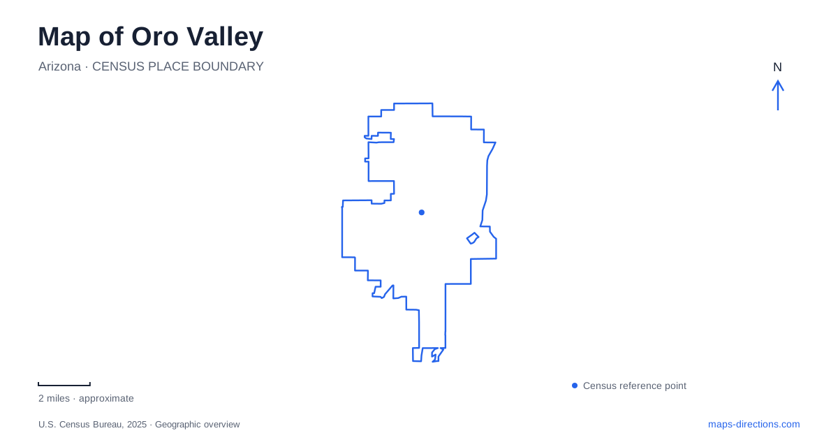
Street tiles load from OpenStreetMap when opened. The blue line shows the 2025 Census boundary.
- State
- Arizona
- Population · July 2025
- 48,085
- Land area
- 35.1 sq mi
- Water area
- 0.1 sq mi
Oro Valley has several overlapping geographic systems: Oracle Road serves as a major address corridor, washes organize parts of the recreational network, and separate parks provide entrances to different kinds of outings. Reading only the town outline misses those distinctions. A destination beside a wash may be reached from a paved shared path, a park driveway or an unpaved trail. Decide which kind of arrival you need before interpreting a nearby line on the map as a usable connection.
Oracle Road and the ranch landmark
Steam Pump Ranch provides a concrete reference on North Oracle Road. The town lists the historic property at 10901 North Oracle Road, west of the roadway and north of its intersection with First Avenue. Its position connects a modern street address with an older landscape organized around the Cañada del Oro. The ranch name refers to its historic water-pumping operation, so it identifies a particular historic site rather than a general neighborhood or an operating fuel stop.
Use the ranch address when planning a visit to the property, then check the appropriate entrance for the activity. A museum visit, an outdoor gathering and a journey along the adjacent recreational network do not necessarily end at the same point within a property. The town's site map is better suited to that final distinction than a regional view centered on Oracle Road. Keeping a separate arrival pin also prevents a road search from substituting a nearby commercial destination for the historic grounds.
Two washes within a larger path network
On an Oro Valley map, the Cañada del Oro Wash and Big Wash help explain why paved routes sometimes curve away from the street grid. Paths along these washes form part of the regional Loop system. The town's trail planning material describes these segments along the edges of the washes, on bank-protection infrastructure. They are recreational alignments associated with the drainage landscape, not a reason to travel in the wash itself.
The Loop extends beyond town boundaries, so a locally visible segment belongs to a much wider network. Save the access point where you intend to join it and the point where you expect to leave. That is more informative than entering the regional route name as a destination. It also helps distinguish an outing along the paved network from a hike onto a separate natural trail. Similar-looking lines can represent substantially different surfaces and uses.
Roadside paths and natural trails
The town identifies shared paths along Lambert Lane, Naranja Drive, La Cañada Drive, First Avenue and Tangerine Road. These street names provide useful reference lines when matching a recreational map to an address. A path beside a road may help connect nearby facilities, but its existence does not establish a direct connection to every subdivision or every business entrance shown alongside it.
Oro Valley's trail information also distinguishes paved shared paths from smoother unpaved trails and more primitive routes. Preserve that distinction when choosing an outing. A person seeking a paved ride should not infer surface quality from the fact that two routes share a park boundary. Read the route legend and follow the intended connection through its junctions. Where a map contains a proposed alignment, do not treat that planning line as evidence of an existing public route.
Rancho Vistoso and the northern connection
Big Wash is useful for interpreting the network near Rancho Vistoso Boulevard. Town planning information identifies a completed extension to that boulevard in 2023. This supplies a specific northern connection in the existing network, while the same planning material also discusses possible future extensions farther north. Existing and proposed routes can appear close together on a planning map, so the legend has practical consequences for someone choosing an actual starting point.
For an Oro Valley outing that combines several destinations, distinguish the boulevard connection from Steam Pump Ranch and the facilities along Innovation Park Drive. The town describes the latter path corridor beside the Marketplace and connections serving the hospital area. Those destination labels help explain why one branch may be useful for reaching a service or shop while another continues along the wash. Choose the branch by its destination, rather than assuming the largest-looking line is always the intended through route.
Match the map to the activity
A useful map of Oro Valley keeps three layers readable together: the street that brings you to the area, the named facility where you begin, and the surface or path you intend to follow. Oracle Road and First Avenue establish the ranch's street context; Cañada del Oro and Big Wash establish the broader recreational context. Zooming into the chosen access point is the final step, not a replacement for that orientation. Retain the facility name when sharing directions so companions can distinguish a historic-site visit from a trail journey beginning nearby.
Map and statistics: U.S. Census Bureau, 2025 Gazetteer, January 2025 generalized place boundaries and Vintage 2025 population estimates. Local references: Town of Oro Valley. Article prepared by Maps & Directions.