Map of Ormond Beach
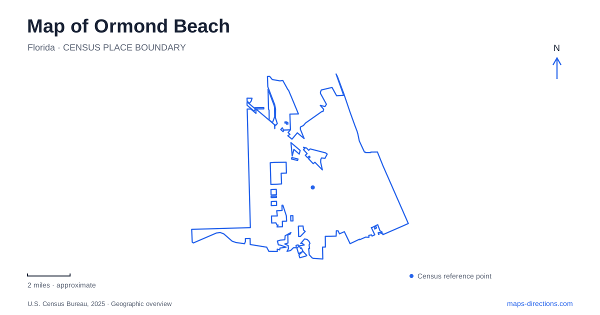
Street tiles load from OpenStreetMap when opened. The blue line shows the 2025 Census boundary.
- State
- Florida
- Population · July 2025
- 44,692
- Land area
- 35.1 sq mi
- Water area
- 4.1 sq mi
Ormond Beach occupies a landscape with two very different waterfronts. The Halifax River gives the central area its sheltered banks, bridge approaches, and riverside gardens, while the Atlantic shore forms the open beachfront farther east. North of the developed center, wooded state parks preserve another landscape of river channels, live oaks, and earlier settlement. These are distinct parts of the same area, and the road pattern makes more sense when the river is treated as the central organizing feature.
The gardens around the Granada bridge
The Granada bridge ties together a group of small riverfront parks. On the mainland side, Bailey Riverbridge Gardens occupies 2.6 acres at North Beach Street and Granada Boulevard. A walkway passes beneath the bridge to the south side of Beach Street, connecting the gardens with Cassen Park. That underpass gives the bridge a second role: it is both a river crossing for through traffic and a point around which the waterfront walking route bends.
Cassen Park contributes boat docks, a fishing pier, and a bait shop to this central stretch of riverbank. The difference between the two spaces is useful when reading a map. The gardens establish a landscaped civic setting beside the bridge, while the boating and fishing facilities explain the more water-oriented activity immediately south. Their short connection creates a continuous riverside experience without making them a single park.
Across the river, Fortunato Park sits at 2 John Anderson Drive, east of the bridge and across from Rockefeller Gardens. Paved walking trails and the surviving Ormond Hotel cupola make it more than a patch of open space at a road junction. The cupola preserves a visible fragment of the area's hotel history within the contemporary waterfront landscape.
A winter residence beside the river
The Casements anchors a different chapter of Ormond Beach history. This approximately 9,000-square-foot house at 25 Riverside Drive served as John D. Rockefeller's winter home and is listed on the National Register of Historic Places. Its name refers to the large casement windows, an architectural detail that is easier to appreciate at building scale than on a citywide map.
The city now operates the house as a cultural center, with tours, classes, and community uses. Rockefeller Gardens extends the setting outdoors across two acres along the Halifax River. House and grounds therefore have complementary roles: the building preserves a domestic and architectural history, while the gardens form part of the public riverfront. Their location also connects the residential story to the nearby hotel cupola and bridge parks, rather than isolating it as a mansion visit.
Where the beachfront opens out
Andy Romano Beachfront Park gives Ormond Beach a substantial public space directly on the Atlantic at 839 South Atlantic Avenue. Its four acres include beach access, off-beach parking, a splash pad, a playground, pavilions, and restrooms. The combination makes the park a developed beachfront recreation area, with activities concentrated around the transition from street to sand.
The contrast with the Halifax parks is geographical as well as recreational. Riverside destinations face an inland waterway and are clustered around the bridge; this park belongs to the oceanfront road corridor. A day focused on fishing piers and gardens consequently follows a different spatial pattern from one centered on the beach, playground, and Atlantic horizon.
Tomoka's changing landscape
North Beach Street leads toward Tomoka State Park at 2099 North Beach Street. Here the Ormond Beach landscape becomes less urban, and the relationship between land and water is expressed through canoeing, boating, fishing, and wooded trails. Tomoka Point preserves the site of the Timucuan village of Nocoroco, placing Indigenous settlement at the center of the park's historical geography.
A half-mile nature trail passes through hardwood hammock that occupies land once used as an eighteenth-century indigo field. That transformation is a particularly useful way to understand the woods. The present canopy is not evidence that the land has always looked this way; agricultural use and subsequent vegetation belong to the same physical place. The park's interpretation allows the wooded shoreline to be read as a historical landscape as well as a habitat.
Live oaks along Old Dixie Highway
Bulow Creek State Park extends the northern landscape around Old Dixie Highway. Nearly 5,600 acres include about 1,500 acres of submerged land and an extensive southern live oak forest. The Fairchild Oak is its best-known individual tree, while the shorter Wahlin Trail introduces the nearby seepage-stream environment.
The longer Bulow Woods Trail links toward Bulow Plantation Ruins Historic State Park, but portions have been closed because of storm impacts. Treat that connection as a trail system with a published condition report, rather than an assured continuous walk. On a map of Ormond Beach, these northern parks explain why the road corridor can pass through substantial forest and water-dominated terrain so close to the developed riverfront.
Map and statistics: U.S. Census Bureau, 2025 Gazetteer, January 2025 generalized place boundaries and Vintage 2025 population estimates. Local references: City of Ormond Beach; Florida State Parks. Article prepared by Maps & Directions.