Map of Orland Park
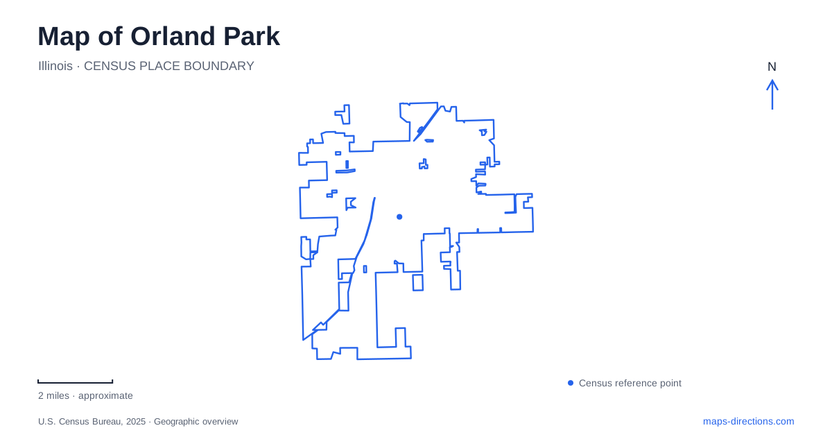
Street tiles load from OpenStreetMap when opened. The blue line shows the 2025 Census boundary.
- State
- Illinois
- Population · July 2025
- 57,954
- Land area
- 22.0 sq mi
- Water area
- 0.3 sq mi
Orland Park's historic village, lake-centered recreation grounds, and preserved farm occupy different parts of a much larger modern community. The old street pattern around Beacon Avenue and 144th Place tells one story, while West Avenue leads to Centennial Park and Lake Sedgewick. Farther south, Stellwagen Farm preserves buildings associated with generations of agricultural work. These landmarks provide a more informative framework than reading the area only through its larger commercial roads.
The early village around Beacon Avenue
The village's heritage account describes its original limits as approximately 143rd Street on the north, 151st Street on the south, Ninety-fourth Avenue on the east, and West Avenue on the west. That compact boundary is useful for understanding the scale of Old Orland before later growth extended far beyond it.
At 14409 Beacon Avenue stood the early Village Hall and fire department building. The village board met upstairs while the volunteer fire service occupied the lower floor. A later civic building replaced it, and that successor eventually became a community arts venue after municipal government moved to the Ravinia Avenue complex.
This sequence gives Orland Park's historic core a layered civic geography. One address accommodated different forms of public life over time, while government functions moved to a newer location. The surrounding streets retain the scale of the earlier village even as the functions of individual buildings have changed.
A family house anchors 144th Place
The Senator John Humphrey House is at 9830 West 144th Place. Built in 1881, the two-story residence preserves rooms furnished with many family belongings, including books, china, textiles, and furniture. The property also contains smaller structures that recall domestic and agricultural tasks beyond the main house.
Humphrey became the first village president when the municipality incorporated in 1892. His house therefore connects personal history with the development of local government, rather than serving only as an example of nineteenth-century architecture. Its proximity to the old civic area reinforces that relationship on the map.
For a historical visit to Orland Park, the house provides a specific destination within the broader district. The street pattern gives context, while the interior collection supplies details of family life. Tours are arranged by appointment, reflecting the property's role as a managed historic house rather than a building that operates like an open public plaza.
Lake Sedgewick and Centennial Park
Lake Sedgewick is listed at 15600 West Avenue. The village identifies a boardwalk, boat ramp, fishing opportunities, gazebo, amphitheater, and walking paths around the lake setting. These features give Centennial Park a strong water-centered landscape within the suburban street network.
The aquatic center shares the West Avenue and Fun Drive area but provides a different experience from the lake. Its pools, slides, and lazy river are built swimming facilities with a seasonal operating calendar. The lake supports boating and fishing activities, so the two water destinations should be understood by their functions rather than grouped together merely because they occupy the same park complex.
This part of Orland Park offers an outdoor itinerary organized around a shoreline instead of historic blocks. A walk can focus on the boardwalk and paths, while another visit may be centered on a performance, boating session, or the aquatic center. West Avenue gives the wider road reference, and the named facilities explain the park's internal variety.
Stellwagen Farm preserves a working layout
Stellwagen Farm is at 17701 South 108th Avenue. The farmhouse faces the avenue, while barns and smaller agricultural buildings describe the work that supported the household. The village's inventory includes a carriage house, corn cribs, chicken coop, silo, toolshed, pig barn, brooder house, and milk house.
Those building types make the site especially useful for reading agricultural history spatially. Storage, animal care, equipment, and domestic life required different structures, producing a layout shaped by work rather than by a modern recreation plan. The farmhouse and main barn date to approximately the 1860s, with additions and newer structures representing later periods.
The farm adds a third perspective on Orland Park. Old Orland concentrates civic and residential history within a small street grid; Centennial Park organizes leisure around water and sports facilities; Stellwagen preserves a landscape of production. Their addresses make the separation clear while showing how all three belong to the community's development. A visit that includes more than one gains variety through actual differences in place, architecture, and purpose rather than a repeated list of generic attractions.
Map and statistics: U.S. Census Bureau, 2025 Gazetteer, January 2025 generalized place boundaries and Vintage 2025 population estimates. Local references: Village of Orland Park. Article prepared by Maps & Directions.