Map of Oregon
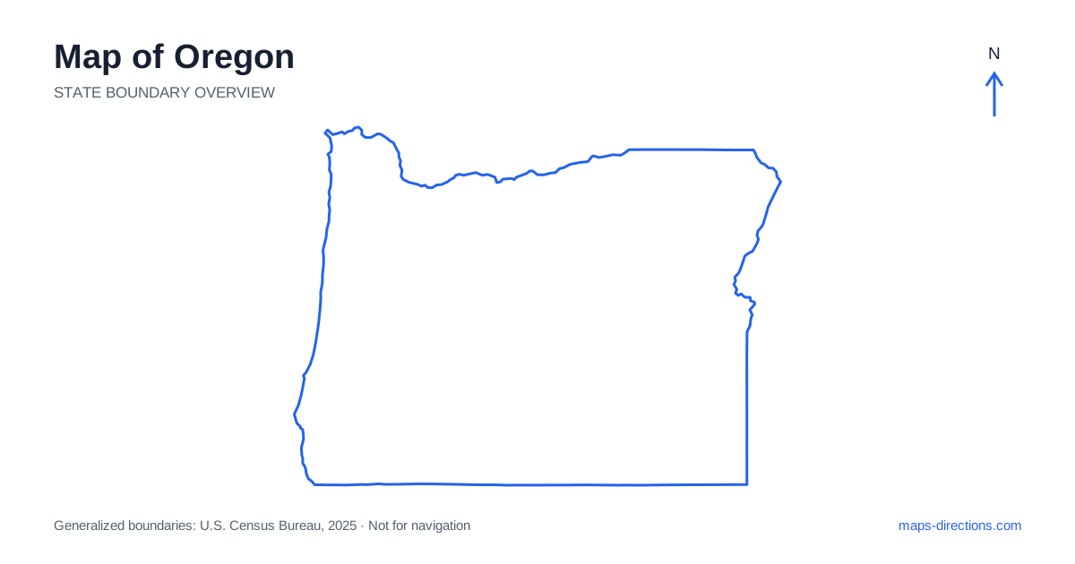
Oregon has a strong west-to-east contrast between its Pacific coast, fertile valleys, mountain ranges and broad inland plateaus. Portland, Salem and Eugene anchor the western urban corridor, while Bend occupies a different setting east of the Cascades. Farther east, towns are spread across a much larger open landscape. A map becomes useful when those regions are kept distinct. The coast is not the same corridor as Interstate 5, and a mountain crossing is not simply a short line joining two destinations that appear close on opposite sides of the range.
Separate the coast from the inland valley
The coast of Oregon runs through communities such as Astoria, Newport, Coos Bay and Brookings, with headlands, river mouths and bays shaping the local road pattern. US 101 provides the broad north-to-south framework, but it does not place every beach entrance or waterfront destination directly beside the through road. A closer view is needed for the final approach.
Inland, the Coast Range separates much of the shoreline from the Willamette Valley. A route from a valley city to the ocean therefore involves a particular crossing rather than a direct continuation west from any point. Choose the coastal town or access area first, then follow its road connection back to the valley. This makes the difference between a coastal stay and a day trip from an inland base clear.
Place the valley cities and the capital
Portland sits near the meeting of the Willamette and Columbia river systems and anchors a large metropolitan area. Salem, the state capital, lies farther south in the valley, with Eugene beyond it. These cities are connected along the main western corridor but remain distinct destinations with different local approaches and surrounding road networks.
Interstate 5 is the major north-to-south route through this broad region. It serves inland movement rather than following the ocean shore. A downtown visit, an airport arrival and a rural valley property may require different exits and final roads. Keep the exact destination in view when choosing an overnight base, particularly if the next day's route heads toward the coast or across the mountains instead of continuing along the valley.
Read the Columbia Gorge as a separate corridor
Along northern Oregon, the Columbia River forms a major boundary beside Washington and cuts a strong east-to-west corridor through the landscape. Interstate 84 follows the broad river route east from Portland through the Gorge and toward The Dalles before continuing into the interior. River crossings occur at specific bridges, so a destination on the opposite bank needs a deliberate connection.
A Gorge visit should identify the actual town, trailhead or viewpoint rather than use a general scenic-region pin. A destination visible across the water may not be directly accessible from the nearest point on the highway. Likewise, a local road or recreation entrance can involve a separate approach from the main interstate. The river explains the region's orientation, while the smaller access network determines how an individual stop fits into the journey.
Treat the Cascades as a practical barrier
The Cascade Range divides the western valleys from much of the central interior. Roads cross at particular passes and corridors, meaning that two places near one another on an overview can require an indirect mountain journey. Bend and Redmond lie east of the range and have a different regional road pattern from the cities along Interstate 5.
US 97 is an important north-to-south route through the central region, including connections toward Klamath Falls farther south. A visit to a mountain lake, volcanic landscape or recreation area still needs a precise entrance. For places such as Crater Lake, choose the intended visitor area rather than the center of the lake itself. Current seasonal access is a separate question from the geographical relationship shown by the map.
Give the eastern interior enough space
Eastern Oregon includes broad high-desert and plateau landscapes, river valleys and towns such as Pendleton, La Grande, Baker City, Burns and Ontario. These places occupy different corridors rather than one compact inland cluster. Interstate 84 connects part of the northern and eastern network, while other highways serve the central and southeastern interior.
A regional route should show the actual sequence of towns and the roads joining them. An apparently direct line through open country may have a different surface or role from a main highway. For a rural destination, identify the exact access point and consider the full approach from the nearest meaningful town. The large spaces between labels are part of the travel plan, not empty map background that can be ignored when arranging a day's stops.
Build a trip around one geographical focus at a time
A coastal drive, a Willamette Valley visit, a Gorge excursion, a central mountain-and-desert stay and an eastern road journey each provide a coherent starting framework. Combining them creates real transitions across ranges and between corridors. Place overnight stops according to those transitions before adding optional destinations that require returning to a region already left behind.
For an Oregon itinerary, keep the correct side of the mountains, riverbank or coastal inlet attached to each stop. Use the statewide outline to understand the regional pattern and a local map to find the final entrance. This makes the contrast between wet western landscapes and the drier interior useful to the route, while preserving the road and terrain detail that a simple state silhouette cannot provide on its own.