Map of Orange
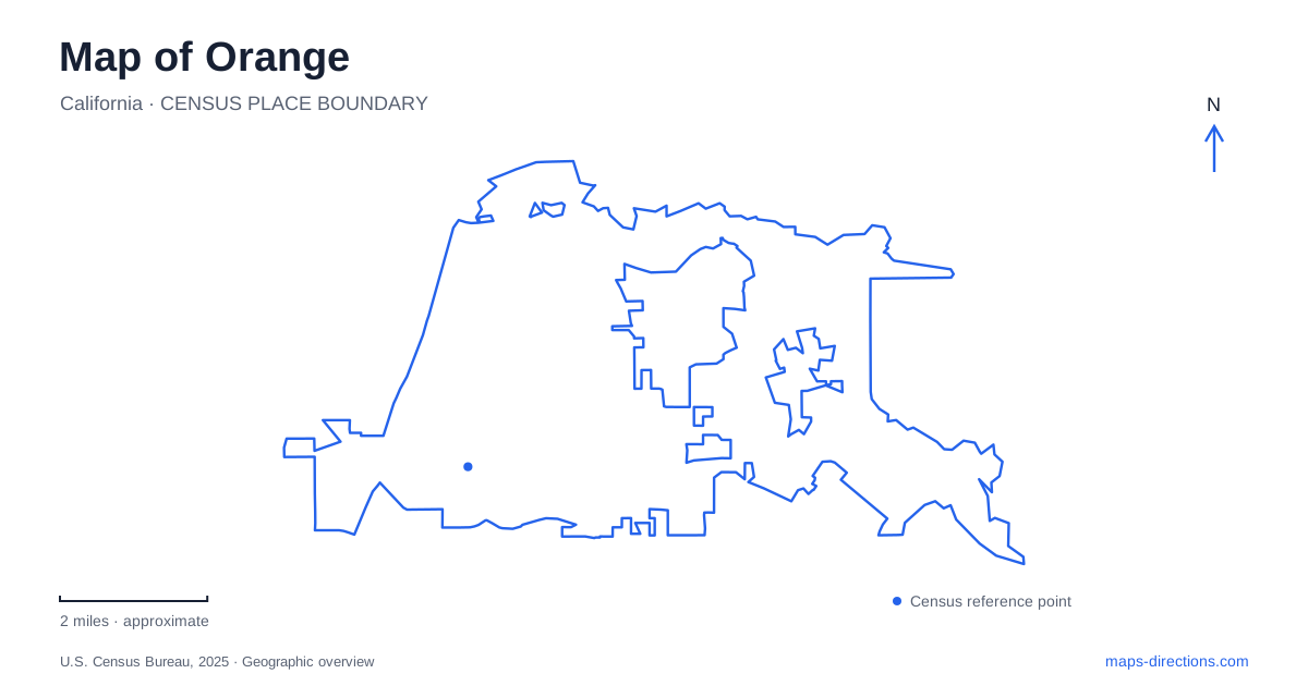
Street tiles load from OpenStreetMap when opened. The blue line shows the 2025 Census boundary.
- State
- California
- Population · July 2025
- 138,365
- Land area
- 25.7 sq mi
- Water area
- 0.1 sq mi
Orange, California has a recognizable center: the Plaza where Chapman Avenue and Glassell Street meet. Yet a useful city map needs to do more than point to that circle. It should distinguish the historic street grid from the creek corridor and the eastern park landscape. These settings support different journeys, from arriving for a downtown appointment to finding the correct trail access. Reading them separately prevents a familiar city label from hiding the details that actually determine an approach.
The Plaza interrupts an otherwise regular grid
The municipal circulation plan describes Old Towne as a grid of parallel north–south and east–west streets. It also identifies the Plaza at Chapman and Glassell as a place where those two primary roadways have discontinuous traffic flows. That is a useful warning against interpreting the intersection as an ordinary four-way crossing. At a small map scale, the circle may look like a decorative symbol; at street scale, it is part of the route itself.
For a destination near the Plaza, inspect which side of the center contains the address. A business on one approach street may require a different final movement from another business that appears equally close to the circle. The relevant question is not simply how far the pin lies from the center. It is which street provides the arrival and where the pedestrian portion begins. Let the actual street arrangement guide that decision rather than drawing a straight line through the park.
A district contains more than its central landmark
Old Towne Orange combines shops and restaurants with major civic and educational destinations. The city's visitor information identifies Chapman University, City Hall and the public library and history center within the district. Those names make useful orientation anchors, but they are not interchangeable endpoints. A university building, civic counter and restaurant can share a district name while requiring entirely different entrances and parking decisions.
The historic area also connects with the rail station. That gives a map reader two possible scales: the regional journey to the station and the local journey through the surrounding streets. If arriving by rail, identify the destination's address rather than stopping the plan at the station label. If arriving by car, do not assume a station parking area is the appropriate place for every downtown purpose. Rules belong to the individual facility, even when the map makes several destinations look close together.
Read parking as its own map layer
The city maintains a parking program covering both street spaces and off-street locations in Old Towne. Its published guidance distinguishes paid spaces, free areas and time-limited locations rather than treating the whole center as one uniform parking zone. That is why a saved destination should ideally be paired with an intended arrival location. The street address tells you where the visit occurs; the parking map answers a separate question about where the vehicle may remain.
For an Orange visit centered on the Plaza, this distinction is more useful than assuming that the nearest visible space will suit the entire outing. Rates and limits are operational details that can change, so this overview does not freeze them into permanent instructions. Consult the signs at the chosen location. A general city outline cannot establish whether a particular curb, lot entrance or reserved space is suitable for the visit you have planned.
Santiago Creek creates a different organizing line
Away from the Plaza, Santiago Creek supplies another way to read the city. Municipal trail information identifies a corridor linking Grijalva, Yorba and Hart Parks. These named parks help translate the creek from a thin map line into a sequence of places. They also keep a trail outing distinct from a trip to one park's facilities: the chosen entrance and the intended activity may be different even when both use the same park label.
The trail-access map distinguishes paved off-road routes, unpaved routes and on-road connections. Those categories matter more than the apparent continuity of a colored line. A person looking for a paved walk should not assume every mapped connection has the same surface or setting. Identify the specific segment and access point first. The park sequence offers an organizing framework, while detailed route information establishes which part fits the planned journey.
The eastern park landscape
Santiago Oaks Regional Park lies in east Orange alongside Santiago Creek. OC Parks describes a trail network that also connects with the Anaheim Hills trail system. This is a different mapping problem from crossing downtown: the useful references are trail junctions, park access and the relationship to the creek, rather than shopfronts around the Plaza. The regional park name should remain in the search so that the destination is not confused with another creek-side stop.
A practical Orange map therefore pairs a clear central landmark with a second, landscape-based system of orientation. Chapman and Glassell explain the historic center; the named creek parks explain a connected outdoor corridor; Santiago Oaks identifies the eastern trail setting. Use the overview to choose the right part of the city, then enlarge the relevant area to select a real entrance. That produces a more precise plan than relying on a single city-center pin.
Map and statistics: U.S. Census Bureau, 2025 Gazetteer, January 2025 generalized place boundaries and Vintage 2025 population estimates. Local references: City of Orange; OC Parks. Article prepared by Maps & Directions.