Map of Ontario
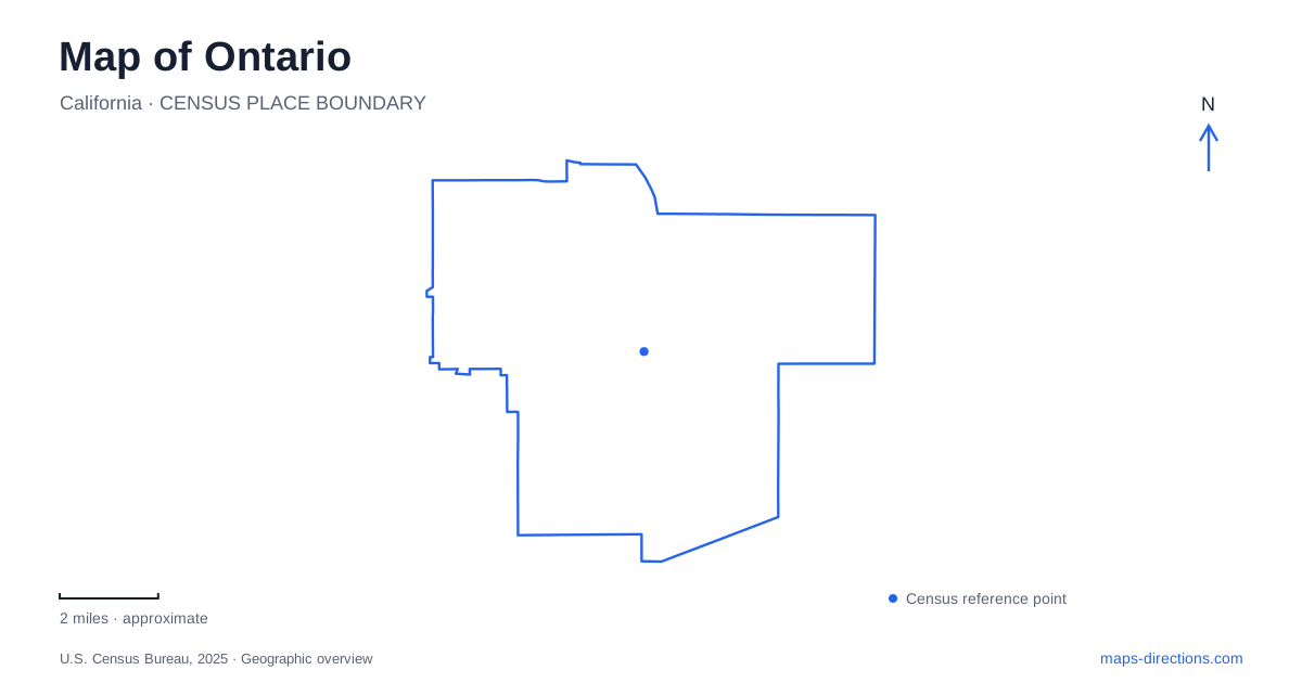
Street tiles load from OpenStreetMap when opened. The blue line shows the 2025 Census boundary.
- State
- California
- Population · July 2025
- 187,013
- Land area
- 50.0 sq mi
- Water area
- 0.0 sq mi
Ontario, California, has a map shaped by two very different kinds of planning: an agricultural colony organized around water and a broad avenue, and a modern transportation landscape of airport facilities and major roads. Euclid Avenue remains the strongest reference for the historic center. Farther east, Guasti recalls a vineyard community, while the airport and regional park occupy distinct sites within the larger urban grid. Including California in a search also avoids confusion with the Canadian province that shares the city's name.
Euclid Avenue and the planned colony
George and William Chaffey developed their model colony around land and water rights purchased in the early 1880s. Euclid Avenue was its centerpiece, planned as a broad, landscaped axis with separate roadways and a central parkway. Its scale expressed an intention to organize a settlement, not merely connect two existing places.
Water distribution was fundamental to the plan. Land purchasers received proportional shares in the water company, linking cultivation to a supply system rather than leaving land and water rights entirely separate. That arrangement helps explain why an agricultural community could develop in an otherwise dry setting.
The avenue also carried an unusual transport system. Beginning in 1887, mules pulled streetcars uphill and rode back down on a trailer attached to the car. Electric service later replaced the mule cars. This history gives the gentle-looking avenue a topographic dimension: the slope was significant enough to shape the mechanics of everyday travel in early Ontario.
Civic buildings become cultural places
The local history and art museum occupies the former second City Hall on South Euclid Avenue. Founded in 1979, the museum uses a historic building funded through the Works Progress Administration. Its setting connects the present arts district with an earlier phase of public investment.
The museum is at 225 South Euclid Avenue, while the Chaffey Community Museum of Art is nearby at 217 South Lemon Avenue. Their proximity supports a compact cultural outing, and the institutions have collaborated on exhibitions and public programs. The similar regional names should not obscure their separate locations and collections.
For a downtown Ontario walk, the pair offers a useful change of scale. Euclid Avenue presents the broad structure of the planned city; the museum buildings bring attention back to individual blocks, public architecture and local creative activity. The historic center can be understood through both its street design and the institutions now occupying it.
Guasti and the vineyard economy
Guasti developed around the Italian Vineyard Company after Secondo Guasti acquired land in 1900. Winery buildings followed in 1904, and worker cottages and community facilities created a settlement tied closely to grape production. A school, store, bakery, workshops and other services supported daily life around the enterprise.
The community took the Guasti name in 1910. Its history shows a different model of settlement from the Chaffeys' colony: a company-centered village organized around a particular agricultural industry. The surrounding landscape has changed substantially, so the historic district should not be imagined as an intact expanse of working vineyards.
That distinction adds depth to a map of Ontario. The name survives in roads, historic references and a regional park, but those uses point to different places and periods. Guasti's significance comes from understanding the former production landscape and surviving historic resources within today's urban surroundings.
Lakes and recreation on Archibald Avenue
Cucamonga-Guasti Regional Park is at 800 North Archibald Avenue. Despite the combined regional name, its visitor address is within the city. The county-operated park provides 150 acres of recreation space, including two fishing lakes, picnic shelters, playgrounds and a splash pad.
The lakes, pool complex and splash pad have different purposes and operating requirements. Identify the particular water activity before choosing an entrance, and consult the park's facility and water-quality guidance rather than assuming that one opening notice covers them all. A broad recreation symbol on a map locates the park but cannot communicate the arrangements for swimming, play equipment and activities beside the lakes.
The park provides a green-space counterpoint to the nearby transport-oriented landscape. Its lakes and picnic areas occupy a defined public property rather than forming part of the historic winery site or the airport grounds.
Reading the airport as several destinations
The passenger facilities at Ontario International Airport are organized around distinct terminals. Terminal 2 is at 2500 East Airport Drive and Terminal 4 at 2900 East Airport Drive. International arrivals use a separate facility at 2222 International Way, while the rental car center is at 3450 East Airport Drive.
Those addresses are practical geographic facts, not interchangeable labels for one front door. A flight's terminal, an international passenger pickup and a rental-car return can require different approaches within the airport complex. Identifying the correct function before setting a route keeps the final part of the journey clear.
Seen together, the avenue, museums, vineyard district, park and airport reveal a city built through successive systems of movement: irrigation, agricultural processing, local transit and aviation. Each system left a different pattern on the map, and those patterns remain useful for understanding the city today.
Map and statistics: U.S. Census Bureau, 2025 Gazetteer, January 2025 generalized place boundaries and Vintage 2025 population estimates. Local references: City of Ontario; San Bernardino County Regional Parks; Ontario International Airport. Article prepared by Maps & Directions.