Map of Omaha
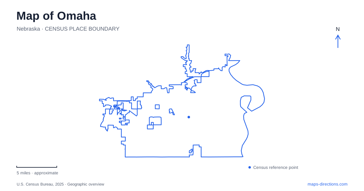
Street tiles load from OpenStreetMap when opened. The blue line shows the 2025 Census boundary.
- State
- Nebraska
- Population · July 2025
- 488,797
- Land area
- 143.0 sq mi
- Water area
- 3.6 sq mi
Omaha grew beside the Missouri River, and the water remains the clearest starting point for reading its map. Downtown combines old commercial blocks with a redesigned chain of parks, while the Dodge Street corridor carries a major east–west transit route toward Westroads. Across the river lies Council Bluffs, Iowa. Those three relationships—the waterfront, the inland corridor, and the interstate connection—provide a useful framework before looking more closely at individual districts.
Three parks with one riverfront identity
The RiverFront brings Gene Leahy Mall, Heartland of America Park, and Lewis & Clark Landing together under one name. Their combined landscape covers 72 acres, but the parks retain different positions and characters. This is why a map may show both the umbrella name and three separate park labels without indicating four different destinations.
Gene Leahy Mall reaches from 13th to 8th streets between Douglas and Farnam streets. Buildings frame this urban section, which links the downtown blocks with the larger park system. Its redevelopment raised the formerly sunken landscape to street level. The preserved slides and Solo Building archway near 11th and Farnam also connect the renewed park with earlier versions of the space.
Heartland of America Park lies just east of 8th Street, while Lewis & Clark Landing extends along the river north of Riverfront Drive. Read those positions in sequence and the overall design becomes clearer: an urban green corridor opens toward broader waterfront grounds. The park network also helps connect the historic Old Market area with North Downtown, giving these neighboring districts a shared public landscape.
A working district preserved in street and building form
The Old Market is one of the most legible historic areas on an Omaha map. The National Park Service describes its historic district as five and a half blocks bounded by 10th and 13th streets and Farnam and Jackson streets. Howard Street's brick streetscape is part of the district's recognizable character.
During the late nineteenth century, the area included retail and service businesses alongside hotels, saloons, and a firehouse. That mixture matters when interpreting the surviving buildings. The district was a working commercial environment with several kinds of activity, rather than a purpose-built modern entertainment complex.
Contemporary uses include restaurants, shops, and art venues such as KANEKO and the Bemis Center for Contemporary Arts. The Old Market Passageway adds a smaller-scale interior setting within the larger street district. Together, these features reward a closer map scale than the one used to navigate across the city. Block relationships, passages, and nearby institutions become more important here than distant arterial roads.
A bridge that changes states
The Bob Kerrey Pedestrian Bridge crosses the Missouri River between the Nebraska side and Council Bluffs in Iowa. Its roughly 3,000-foot length includes the landings. The crossing is for people moving on foot and by bicycle, so its presence on a map should not be interpreted as a driving connection between the two downtowns.
This bridge makes the river more than a boundary on the edge of the screen. It offers a direct recreational connection across that boundary, with views back toward the downtown skyline. For someone exploring the waterfront, the opposite bank belongs to a different municipality and state even though it is visible from the same stretch of path.
An Omaha itinerary can therefore include a genuinely interstate walk without resembling a regional road trip. The useful distinction is between the pedestrian crossing and the separate road network used for driving across the river.
Dodge Street reaches beyond downtown
ORBT, Omaha's bus rapid transit service, follows an eight-mile corridor along Dodge and Douglas streets between downtown and Westroads. Its listed destinations include Midtown Crossing, Nebraska Medicine, Dundee, the university, Crossroads, and the hospital area farther west. This sequence reveals a broader urban structure that a downtown-only map misses.
The eastbound and westbound downtown stops are not always on the same named street. The published route places stops on both Dodge and Douglas, making the direction of travel important when choosing where to board. Westroads Transit Center provides a park-and-ride connection at the western end.
Farther from the river, neighborhood centers also have their own organizing streets. Dundee's merchants identify 50th and Underwood as a community gathering location. It is a useful reminder that a district served by the Dodge corridor can extend beyond the road itself. A map of Omaha becomes more informative when the long transport line and the smaller neighborhood intersections are read together: one explains movement across the city, while the other helps identify where local activity concentrates.
Map and statistics: U.S. Census Bureau, 2025 Gazetteer, January 2025 generalized place boundaries and Vintage 2025 population estimates. Local references: Visit Omaha; MECA; National Park Service; City of Council Bluffs; Metro Transit; Dundee Merchants. Article prepared by Maps & Directions.