Map of Olympia
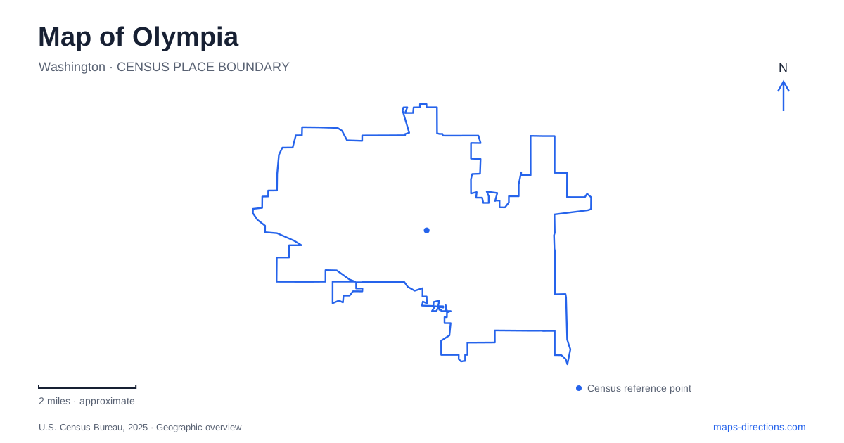
Street tiles load from OpenStreetMap when opened. The blue line shows the 2025 Census boundary.
- State
- Washington
- Population · July 2025
- 56,724
- Land area
- 18.2 sq mi
- Water area
- 1.9 sq mi
Olympia brings state government, a working port, and sheltered marine water into one compact central landscape. Budd Inlet reaches toward downtown from the north, while Capitol Lake and the Capitol Campus organize the area farther south. The waterfront is not a single straight promenade. Its shape includes the sides of a port peninsula, downtown boardwalks, and wooded shoreline beyond the business district. A useful map gives each of those settings room, showing how civic buildings, shoreline paths, and everyday streets fit around the water.
The dome and the streets around government
The Legislative Building is the most recognizable landmark on a map of Olympia. Completed in 1928, it contains the legislative chambers and major state offices beneath a masonry dome. Its monumental scale helps with orientation, but the surrounding campus deserves closer attention: Capitol Way separates groups of government buildings, while Sid Snyder Avenue and Cherry Lane help locate the building's southeastern approach. The official campus map also identifies the Temple of Justice, Governor's Mansion, and the Cherberg and O'Brien buildings.
These names become practical when a visit has a specific purpose. A legislative meeting, a public tour, and an appointment in an agency office may require different parts of the campus. For accessible entry, the state identifies the southeastern Legislative Building entrance near Sid Snyder Avenue and Cherry Lane as the entrance available whenever the building is open. The campus is best understood as a small civic district, with pedestrian routes and multiple buildings, rather than as the dome alone.
From Fourth Avenue to the port peninsula
Percival Landing places Olympia's maritime history beside its downtown streets. The visitor bureau describes a boardwalk following the eastern side of West Bay between the Fourth Avenue Bridge and Thurston Avenue. Its name preserves the commercial wharf established by Sam Percival in 1860. The public waterfront developed in stages beginning in the late 1970s, translating an older landing place into space for walking and community gatherings.
Farther toward the port, the Farmers Market and Port Plaza form another recognizable cluster. The port's walking directions connect the plaza with Percival Landing to the south, while Marine Drive and Market Street organize a peninsula walk farther north. A viewing tower at the plaza offers a useful change of perspective: downtown lies in one direction, and the working waterfront occupies the other. This is a particularly clear place to see recreation and port operations sharing the same urban shoreline.
On the peninsula's eastern side, the Billy Frank Jr. Trail extends from East Bay Drive and Olympia Avenue toward NorthPoint. Along the way are Swantown Boatworks, Swantown Marina, and rowing facilities. The peninsula therefore offers two distinct waterfront sequences, connected by its street network: the downtown boardwalk and market side, and the marina and trail side. Following the named route gives that loop a more meaningful shape than simply aiming for the northernmost waterfront pin.
Lake paths below the Capitol
Deschutes Parkway follows the western side of Capitol Lake beneath a wooded hillside. It links the downtown and Heritage Park area with the Capitol Lake Interpretive Center and routes toward Tumwater. This lower shoreline route creates a different experience from the government campus above: water, wetlands, and surrounding slopes replace the formal arrangement of major public buildings.
The interpretive wetlands have an unusual origin. Basins created for dredged material in 1979 gradually developed wetland characteristics, and the area later became part of the state's interpretive landscape. Paths, viewing platforms, and information about native plants explain that transformation on the ground. Consult the state's rules before planning an activity on the lake water itself; a shoreline walk does not establish permission to launch a boat. For visitors exploring Olympia on foot, this corridor adds ecological context to the much more architectural experience of the Capitol grounds.
A wooded shore beyond the center
Squaxin Park, formerly Priest Point Park, lies along the eastern shore of Budd Inlet. The city changed the name in 2022 to recognize the Squaxin Island Tribe's historical habitation of the area. Its forested bluffs and shoreline contrast with the heavily altered edges of the port peninsula and West Bay. The city's waterfront interpretation describes this area as preserving much of the remaining unaltered shoreline within the municipality.
That contrast completes the geographic picture of the state capital. Downtown presents the water through wharves and boardwalks; the port peninsula combines public paths with maritime work; the lake corridor carries wetland history beneath the Capitol; and the wooded park preserves another kind of shoreline altogether. Choosing among them is less about finding one best waterfront destination than deciding which part of this closely connected landscape to explore first.
Map and statistics: U.S. Census Bureau, 2025 Gazetteer, January 2025 generalized place boundaries and Vintage 2025 population estimates. Local references: Washington State Department of Enterprise Services; Olympia Lacey Tumwater Visitor and Convention Bureau; Port of Olympia; City of Olympia. Article prepared by Maps & Directions.