Map of Olathe
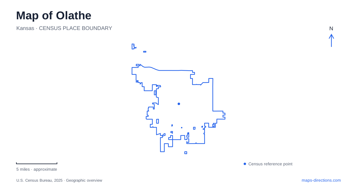
Street tiles load from OpenStreetMap when opened. The blue line shows the 2025 Census boundary.
- State
- Kansas
- Population · July 2025
- 150,025
- Land area
- 64.7 sq mi
- Water area
- 0.8 sq mi
Olathe's history is unusually easy to connect with the movement of people and information. A surviving stagecoach farm recalls travel along the Santa Fe Trail, while a family farm museum preserves experiments in teaching by radio. Those sites belong to different periods and different parts of the community. Together with a nature park and a large western lake, they provide a useful structure for reading the city beyond its modern road network. The downtown history begins in 1857, before Kansas statehood. Railroads later displaced the stagecoach business, and by 1873 three railroads served the community. A modern map therefore overlays routes from several transportation eras. The historical trail should be understood through interpreted sites, rather than assumed to survive everywhere as a continuous recreational path beside today's streets.
A farmhouse that fed travelers
Mahaffie Stagecoach Stop & Farm Historic Site is at 1200 East Kansas City Road. James and Lucinda Mahaffie arrived from Indiana in 1857, and their farm became a stopping place for travelers. The substantial limestone farmhouse dates to 1865. Its basement served as a kitchen and dining space for stagecoach passengers, making the domestic building part of a transportation business as well as a family home.
For a map of Olathe, that combination matters. The farm is an actual destination with grounds and interpretation, rather than merely a roadside marker for a vanished coach line. Living-history activities examine farming, frontier work and travel in the 1860s. The site is city-operated, but demonstrations and rides depend on the program calendar. Allow time for the buildings and farm setting instead of treating the stop as a quick photograph of one facade.
Radio lessons from a family farm
Ensor Park and Museum preserves a different relationship between rural life and technology. Its farmhouse, peg barn, tools, furnishings and radio equipment document the Ensor family. Marshall Ensor taught manual arts, while his sister Loretta was also a licensed radio operator and helped with lessons transmitted to would-be amateur operators. The radio tower beside the house makes that less visible educational history tangible.
This is not simply another pioneer-house exhibit in Olathe. The combination of handwork, farming and broadcasting explains how practical teaching reached beyond one classroom. The museum operates through guided visits with a limited seasonal weekend schedule. Its published regular months are May, June, September and October; special deeper tours require separate registration. A road route to the farm therefore needs to be paired with a tour arrangement, especially for anyone hoping to see spaces beyond the regular visit.
Nature trails with their own rules
Ernie Miller Park occupies 126 acres at 909 North Highway 7. The county park district describes prairie, meadow, bottomland forest and a stream within a roughly three-mile trail system. That variety is the reason for entering the park on foot and noticing changes in habitat, not merely using it as a shortcut between roads.
Bicycles and pets are not permitted on these nature trails. The nature-center building, outdoor trails and booked educational programs have separate access arrangements. Confirm the building's visitor information if indoor exhibits are part of the plan. For someone who needs a shorter or step-free approach, identify the parking-to-entrance route as well as the trailhead; maintenance can change the practical connection between those points without changing the park's overall location.
Lake Olathe requires a choice of shore
The large western lake is reached from Dennis Avenue or Santa Fe Street using Ward Cliff Drive and Lakeshore Drive. The city distinguishes a 170-acre lake from the surrounding 258 acres of parkland. Choosing an activity first helps identify the appropriate shore: the beach and marina are different destinations from the western launch for personal watercraft.
The wider park includes trails, playgrounds, fishing facilities and event areas. Four miles of paved paths describe the park's trail provision, not necessarily a single signed waterside circuit. The swimming beach operates seasonally, with its own admission and activity arrangements. Its admission-based rentals should not be confused with simply reaching the shore. Boats elsewhere on the lake are subject to a low speed limit, and swimming belongs in the designated area when operating.
An Olathe visit can thus be planned around three very different forms of access: a scheduled historical experience, a protected walking environment and an activity-specific lakeside entrance. Preserving those distinctions makes the map useful for an actual day out, while the stagecoach and radio sites explain why this city has more history than its contemporary commuter routes initially reveal.
Map and statistics: U.S. Census Bureau, 2025 Gazetteer, January 2025 generalized place boundaries and Vintage 2025 population estimates. Local references: City of Olathe; National Park Service; Ensor Park and Museum; Johnson County Park and Recreation District. Article prepared by Maps & Directions.