Map of Ohio
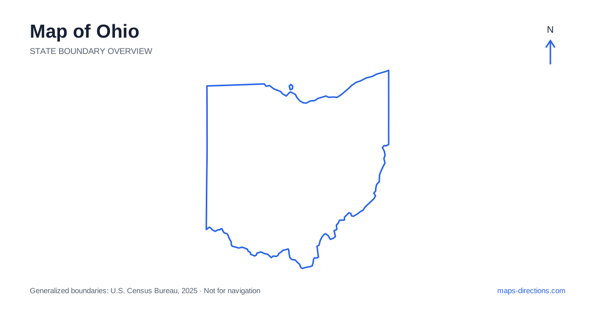
Ohio connects the Great Lakes region with the river valleys and uplands farther south. Cleveland and Toledo anchor different parts of the northern lakefront, Columbus occupies the central interior, and Cincinnati lies in the southwestern corner. Dayton, Akron and other regional cities add their own road networks between those anchors. The state is not geographically uniform: flatter northern and western landscapes contrast with hillier country in the southeast. Locate the intended city or landscape first, then use the main highways and water boundaries to understand its practical connections.
Recognize the water boundaries at opposite ends
Lake Erie forms much of the northern edge, while the Ohio River defines the southern and southeastern side beside neighboring states. These are very different water settings, but both can make nearby-looking destinations harder to connect than the outline suggests. A road journey across a river needs a bridge, and a destination across the lake requires a much wider regional plan.
The northern shoreline includes several urban and recreation areas rather than one continuous beach district. In the south, cities and smaller towns occupy particular river reaches with their own crossings. Keep the intended bank or shore attached to the destination when comparing routes. A waterfront label is useful geographical information, but it does not establish a public entrance or a direct road connection from every adjacent street.
Place the northern cities along the lake corridor
Toledo sits near the western end of the lakefront region, while Cleveland occupies a separate northeastern metropolitan area. Sandusky and surrounding communities lie between them along the broader shoreline. A trip linking these places should be shown as a regional journey, not treated as local movement within one continuous city. Their downtowns, airports and waterfront destinations all have different approaches.
The Turnpike and other major routes provide through connections across the north, while local roads serve the actual shore and city districts. For a recreation visit, identify the specific entrance or departure point. Some island destinations involve a separate water transfer rather than an extension of the road network. Make that distinction before placing the stop inside a driving itinerary or choosing accommodation on the mainland.
Use Columbus as the central reference point
Columbus is the capital of Ohio and a major junction in the interior. Interstate 70 runs east to west through the region, while Interstate 71 links the Cleveland, Columbus and Cincinnati corridors. The city is therefore a useful orientation point, but its metropolitan area still requires a precise final destination rather than a general pin at the center.
An airport arrival, a downtown venue and an outer suburban address can involve different sides of the road network. If the trip continues toward another city, consider that departure direction when choosing the overnight location. A central-looking base can create repeated metropolitan crossings if the first destination each day lies elsewhere. The statewide map explains the broad connections; a detailed urban view explains whether the selected base serves the actual plan.
Distinguish the western cities and the southwestern corner
Interstate 75 provides a major north-to-south corridor through the Toledo and Dayton regions toward Cincinnati. Dayton has its own urban setting in the west-central area, while Cincinnati sits at the southern river boundary and extends into a wider metropolitan region across state lines. These cities should be identified separately before arranging a sequence of stops.
A destination described as being in the Cincinnati area may be on a different side of the river or beyond a particular bridge approach. Use the full address and intended crossing when selecting the route. Likewise, a stop near Dayton may be close to a main interstate but still need a distinct local connection. Keeping those final approaches visible prevents the simplicity of the highway line from hiding the actual arrival task.
Read the southeastern hills through their valleys
Southeastern terrain includes wooded hills, ridges and valleys that differ from the flatter agricultural areas farther west and north. The Hocking Hills region, Athens and towns along the Ohio River belong to this broader landscape but occupy separate local networks. A scenic or outdoor destination should be located by its named access point, not merely by a large regional label.
Roads may follow valleys or curve around hills, so a short straight-line distance can be misleading. A park entrance on one side of a ridge may be approached from a different town than the feature that appears nearest on the overview. Use a terrain view to understand the relationship, then a detailed road map for the final connection. The return leg also matters when a visit uses an out-and-back approach from the main corridor.
Build a journey around the appropriate regional pattern
A lakefront visit, a central capital stay, a western-city trip and a southeastern outdoor itinerary each provide a clear starting framework. Combining them is practical only when the connecting distances and overnight sequence are made explicit. Avoid adding a distant river or mountain-region stop merely because the entire state fits comfortably on one screen.
For an Ohio itinerary, keep the chosen lake shore, riverbank, metropolitan district or valley attached to each destination. Use the outline to understand where the region lies and the local road view to establish its usable entrance. This connects the state's familiar city names with the actual geography between them, producing a plan that accounts for both the strong highway network and the smaller roads that complete each journey.