Map of Odessa
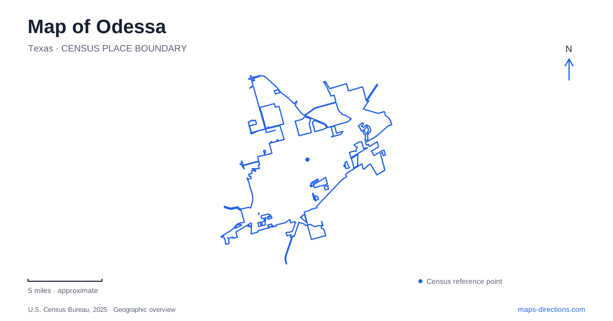
Street tiles load from OpenStreetMap when opened. The blue line shows the 2025 Census boundary.
- State
- Texas
- Population · July 2025
- 122,707
- Land area
- 52.0 sq mi
- Water area
- 0.3 sq mi
Odessa's visitor map is easiest to read as several distinct destination areas. The downtown grid contains civic buildings and the Ector Theatre. East University Boulevard anchors a group of university and museum destinations, while Comanche Trail Park has separate western and southern approaches. Regional arts listings also include venues outside these immediate clusters. The task is to identify the right setting first, then use its street names to understand how individual places fit together.
The downtown grid and Fifth Street
The city established downtown boundaries in 2016 extending from First to Tenth streets and from Bernice Avenue to Adams Avenue. These limits provide a useful framework for the central district. Grant Avenue runs through its center, while Fifth Street connects the medical facilities that flank the district on its western and eastern sides.
This gives downtown Odessa a practical structure beyond an assortment of civic addresses. The numbered streets organize east–west movement, and the avenues give individual destinations a place within the grid. City Hall, the Ector County Courthouse, and the county library belong to this central setting, alongside businesses and cultural activity.
The Ector Theatre is at 500 North Texas Avenue. That specific address places it within the downtown street environment rather than within the university's arts setting. The venue is connected with the adjoining hotel and conference-center development, providing another recognizable local relationship. A performance here can be understood in relation to the central blocks, whereas a similarly described concert elsewhere in the region may require a different journey.
University museums and an outdoor stone landmark
The Ellen Noël Art Museum is at 4909 East University Boulevard, and the Presidential Archives and Leadership Library is at 4919 East University. Their neighboring address numbers are useful evidence of a cultural cluster along the same corridor. The university campus map identifies both facilities alongside the main campus's other buildings and outdoor spaces.
The Stonehenge replica is another university landmark, located beside the Charles A. Sorber Visual Arts Studios. University art-department members built it in 2004. The replica matches the original monument's horizontal dimensions while being shorter vertically. Its placement beside the studios gives it an understandable campus context: it is an outdoor art landmark associated with the university, not an archaeological site on the edge of town.
A map of Odessa should retain the distinction between these individual destinations. The art museum, presidential archive, and stone installation each has a different purpose, even though they belong to the same broader university setting. Campus maps are particularly useful because several university locations share a general street address and are distinguished by building names and map numbers.
The Wagner Noël Performing Arts Center requires a further distinction. The university directory places it in the separate Midland campus area shown on a map inset. The venue's own directions locate it at Highway 191 and FM 1788. It should not be confused with the Ellen Noël Art Museum simply because the two names share “Noël,” nor assumed to stand beside the main-campus arts studios. Identifying the full venue name resolves a genuine regional navigation ambiguity.
Comanche Trail and the pond approaches
Comanche Trail Park has western and southern entrances. The municipal trail list locates the western approach at 900 South County Road West and the southern approach at 301 Interstate 20 Service Road. The city's fishing information specifically places the pond at the south entrance. These are meaningful distinctions within one park, not duplicate listings for the same arrival point.
The Texas Parks and Wildlife Department describes part of the trail landscape as an undeveloped draw that provides bird habitat. This explains why the park's linear shape differs from a small rectangular neighborhood green. The trail follows a landscape corridor, with different facilities and approaches along it.
For an Odessa outing focused on the pond, the southern entrance is the relevant reference. For a walk beginning from the western side, South County Road West supplies a different starting point. Keeping the two approaches visible makes the park's layout understandable without pretending that every visitor will use one generic park marker.
Memorial Gardens Park is a separate destination at 4730 East 42nd Street, with a loop around its pond. The city also calls it Buffalo Wallow and explicitly distinguishes it from the fishing pond at Comanche Trail. These two water-centered parks should therefore retain their own names and addresses in a plan. Similar-looking ponds on a map do not imply the same recreational purpose.
Together, these places reveal a clear structure for Odessa: a numbered downtown grid, an East University cultural cluster, a separate regional performance venue, and parks organized around particular landscape features. Reading the full names alongside North Texas Avenue, East University Boulevard, Highway 191, and the Comanche Trail approaches makes the map more useful for the actual visit being planned.
Map and statistics: U.S. Census Bureau, 2025 Gazetteer, January 2025 generalized place boundaries and Vintage 2025 population estimates. Local references: City of Odessa; Ector Theatre; Ellen Noël Art Museum; UT Permian Basin; Wagner Noël Performing Arts Center; Texas Parks and Wildlife Department. Article prepared by Maps & Directions.