Map of Ocoee
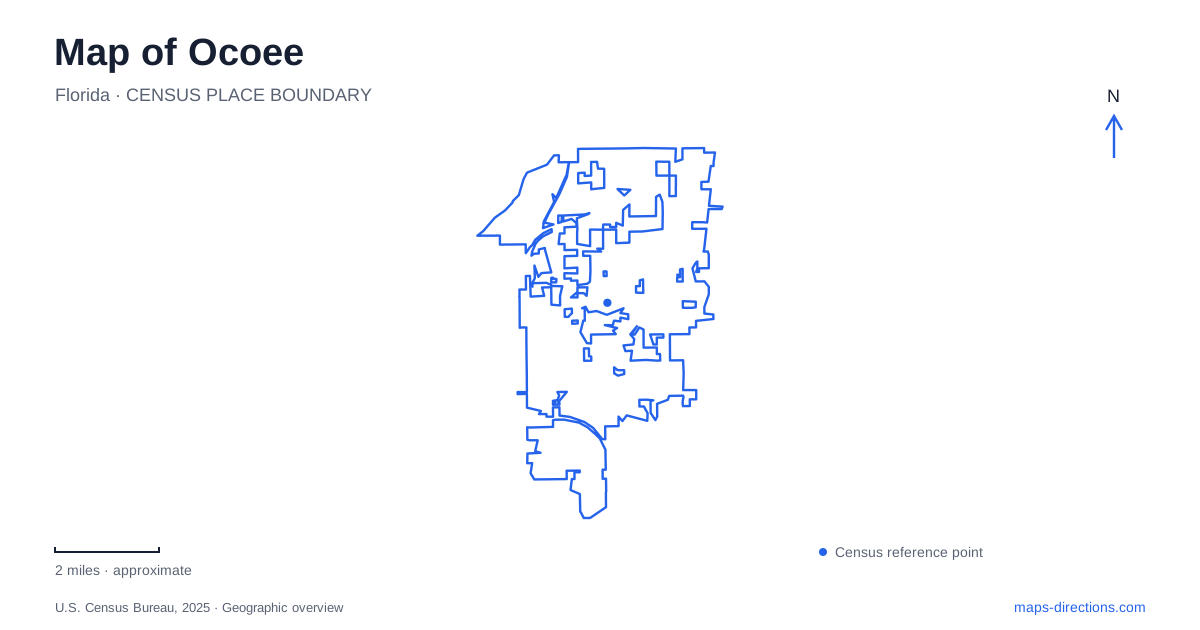
Street tiles load from OpenStreetMap when opened. The blue line shows the 2025 Census boundary.
- State
- Florida
- Population · July 2025
- 51,932
- Land area
- 15.7 sq mi
- Water area
- 0.9 sq mi
Ocoee developed beside Starke Lake, southeast of the much larger Lake Apopka. That distinction gives the city map an immediate geographical focus: the downtown waterfront belongs to Starke Lake, while Lake Apopka describes the wider regional setting. The older settlement grew from citrus and vegetable farming, and its public center now combines civic buildings, event grounds, historic architecture, and spaces for remembering a difficult past.
The western shore of Starke Lake
Downtown improvements have concentrated on the lake's western shore. The Lakeshore Center at 125 North Lakeshore Drive overlooks the water, with a wraparound porch and adjoining outdoor spaces. Bill Breeze Park supplies an open lawn used for events, while a wedding pavilion and smaller garden provide more contained settings. Together, these facilities form a recognizable waterfront grouping rather than a series of unrelated venues across town.
The lake is therefore a useful guide to the civic area. A visitor attending an indoor event may spend time on the porch or lawn, while someone approaching the waterfront on foot encounters the same buildings from the outdoor side. Keeping the shoreline visible on a map helps explain that relationship between the event center and its surroundings. It also provides a common reference when several activities occupy different parts of the municipal campus.
An older house beside newer public spaces
The Withers-Maguire House, built in 1888, adds a nineteenth-century building to this waterfront setting. The city identifies its architecture as Gothic Stick Style and notes its heart-pine floors and wraparound porch. The house now accommodates smaller gatherings and supports events at the neighboring center. Its continued use makes it part of everyday civic life as well as a historical landmark.
This is a useful detail when reading a map of Ocoee because the house and event center can appear as separate labels within a closely connected site. Their different building types explain their different functions. The modern venue provides large interior gathering space; the older house offers a more intimate setting and architectural history. The grounds connect these roles without erasing the distinction between the buildings.
Bluford Avenue and the inland streets
Bluford Avenue provides a second organizing line behind the lakefront. The city describes a completed downtown trail along the corridor from Silver Star Road to just south of the middle school. This gives the central area a walking connection associated with a familiar street, rather than requiring every outing to remain on the immediate shore. Farther south, State Road 50 forms an important east–west road corridor.
The city's historical account records construction of that highway south of downtown in 1959, connecting the community more directly with Orlando. The relationship between an older lakeside center and a later highway corridor explains why the commercial road network and historic civic area do not occupy precisely the same place. A regional route may bring someone toward the city, while Bluford Avenue and the lakefront streets organize the final part of a downtown visit.
Remembrance belongs in the landscape
The history of Ocoee includes the racist Election Day violence of November 1920. The state historical marker documents the attempt to prevent Black residents from voting and the attack that followed Mose Norman's effort to cast a ballot. The violence killed residents and drove Black families from their homes. This history is essential to understanding the community rather than an optional footnote to its older architecture.
In 2019, a portion of Lakefront Park was designated for remembrance and reflection. The city subsequently held a centennial program and unveiled a historical marker in 2020. The waterfront consequently serves more than recreation and celebration. It is also a public setting in which visitors can encounter the lives and losses of people excluded from many earlier accounts of local development.
A different water landscape on South Bluford
Healthy West Orange Wellness Park, at 1320 South Bluford Avenue, offers another example of how Ocoee uses water-adjacent space. Completed in February 2023, the project added a perimeter path, gathering areas, and four shaded exercise stations around stormwater ponds. A boardwalk and aquatic planting make drainage infrastructure part of an outdoor public environment.
The park differs from the Starke Lake waterfront in both scale and purpose. Its circuit and exercise equipment support a focused activity outing, while the lakeshore campus combines heritage, remembrance, and events. Considering both locations gives a fuller picture of Ocoee: an older lake-centered community whose public spaces also include newer landscapes designed around everyday movement and neighborhood health.
Map and statistics: U.S. Census Bureau, 2025 Gazetteer, January 2025 generalized place boundaries and Vintage 2025 population estimates. Local references: City of Ocoee; Ocoee Lakeshore Center; Florida Division of Historical Resources. Article prepared by Maps & Directions.