Map of Oceanside
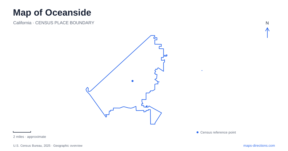
Street tiles load from OpenStreetMap when opened. The blue line shows the 2025 Census boundary.
- State
- California
- Population · July 2025
- 170,483
- Land area
- 41.3 sq mi
- Water area
- 0.9 sq mi
Oceanside has several coastal and inland reference points that are easy to confuse when a map is viewed too broadly. The pier belongs to the downtown beachfront, the harbor occupies a separate setting near the river mouth, and Mission San Luis Rey stands inland on Mission Avenue. Rail lines add another framework, meeting downtown before following coastal and inland corridors. These relationships make the city more than a strip of beach: water, transportation, and a much older mission landscape each explain a different part of its layout.
Downtown is also a rail junction
The transit center at 195 South Tremont Street provides a useful starting point for understanding the downtown area. COASTER service follows the coast toward San Diego, while SPRINTER runs east through Vista and San Marcos to Escondido. The latter follows the Highway 78 corridor for 22 miles, serving a different geographical direction from the coastal railway.
Amtrak and Metrolink also appear among the connections listed by the transit operator. The concentration of services explains why downtown functions as a regional arrival point as well as a beach destination. It is a junction where coastal travel and inland travel meet.
For a map of Oceanside, the distinction between those railway corridors is fundamental. A train serving the same downtown station may head toward very different communities. The station's position near central streets also makes it a clearer reference than treating the whole coastline as one arrival zone.
The pier and the harbor tell different stories
The pier extends from the downtown beach, with the Junior Seau Beach Amphitheater immediately below its landward entrance. The beachfront and pier therefore form a compact public setting for walking, fishing, and events. A fire in April 2024 damaged the far western end. That damage makes it important to consult the city's pier-access guidance rather than using older photographs of the restaurant at the tip to plan a walk along the structure.
The harbor lies in a separate coastal pocket immediately north of the San Luis Rey River mouth. Opened in 1963, it reflects a twentieth-century project to create a boating destination. Sidewalks around the harbor provide roughly two miles of walking beside its basin and facilities.
These two settings give Oceanside distinct waterfront experiences. One centers on a structure projecting into the open ocean; the other surrounds sheltered harbor water. Their separate locations matter when choosing where to spend time along the coast, especially because both may appear in broad searches for the city's waterfront.
Following the river inland
The San Luis Rey River originates in the Palomar and Hot Springs Mountains and travels more than 55 miles before reaching the Pacific. Within the city, its trail gives pedestrians and cyclists a route along part of that much larger watershed.
The municipal trail guide describes approximately nine miles between the Neptune access at the western end and the eastern end near North Santa Fe Avenue and State Route 76. This is a river corridor route rather than a continuous path along every beach. The river's inland course explains why it connects a different set of neighborhoods and destinations from the coastal railway.
This distinction is useful when exploring Oceanside by bicycle or on foot. The coast provides one axis, and the river provides another. Their meeting near the harbor is a geographical junction, while the trail continues into a landscape shaped by drainage, flood management, and inland development.
The mission's water system remains visible
Mission San Luis Rey at 4050 Mission Avenue was founded in 1798. Its museum interprets Native American, Spanish mission, Mexican, and American military periods, making the site a place to examine overlapping histories rather than a building frozen at one moment.
The lavanderia, south of the mission, is especially revealing. Water diverted from the river supplied washing and bathing facilities before continuing toward gardens and fields. Tile-and-stone pools, stairs, and carved spouts make parts of this system visible. It linked daily life with irrigation, showing the importance of water management in the mission landscape.
The courtyard setting has also changed. After the Franciscans returned in 1892, a smaller inner quadrangle developed, and a seminary building was later constructed on foundations associated with the original larger quadrangle. The cemetery, by contrast, has remained in use since the mission's founding.
These layers broaden the understanding of Oceanside beyond its modern beachfront. The downtown junction organizes regional travel, the pier and harbor provide different coastal settings, and the river connects the shore with an inland historical landscape. Reading all of them together explains both where the principal destinations are and why their surroundings differ so markedly.
Map and statistics: U.S. Census Bureau, 2025 Gazetteer, January 2025 generalized place boundaries and Vintage 2025 population estimates. Local references: North County Transit District; Visit Oceanside; City of Oceanside; Mission San Luis Rey. Article prepared by Maps & Directions.