Map of Oakland
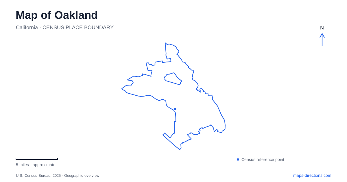
Street tiles load from OpenStreetMap when opened. The blue line shows the 2025 Census boundary.
- State
- California
- Population · July 2025
- 440,838
- Land area
- 56.0 sq mi
- Water area
- 22.1 sq mi
Oakland brings a tidal lake, a working waterfront, neighborhood shopping streets, and wooded hills into one urban landscape. These features are connected, but they are not arranged around a single visitor center. Broadway helps organize the central districts, Lake Merritt creates a large open-water reference nearby, and roads such as Redwood Road and Skyline Boulevard lead into a different terrain. Reading the map through those features makes the city easier to understand than treating every neighborhood as another part of downtown.
Lake Merritt belongs to an estuary system
Despite its familiar name, Lake Merritt is a shallow tidal water body connected by a channel to the estuary. The channel is an important part of the lake's geography and ecology, rather than an incidental drainage line. City projects have addressed both the water connection and the public spaces around it.
The lake's surrounding districts have their own identities. Grand Lake occupies the northeastern area, associated with Grand and Lakeshore avenues. The Grand Lake Theater provides a recognizable landmark in that neighborhood. The shoreline therefore connects several kinds of urban space, rather than forming the edge of one uniformly named district.
At the southern side, Oak Street and Lake Merritt Boulevard help orient movement toward cultural and educational institutions. The Oakland Museum of California lies along Oak Street, while Lake Merritt BART station serves the area around Chinatown and Laney College. A station named after the lake is not a reference to every point on its shore; the street map shows which part of this large landmark is closest.
Broadway links central districts
BART's 12th Street station is at 1245 Broadway, while the 19th Street station is at 1900 Broadway near the Paramount Theater. Their addresses reveal a useful central corridor. The southern station serves the City Center area, and the northern station is associated with Uptown.
These stops should be distinguished from Lake Merritt station, whose listed address is 800 Madison Street. All three can be relevant to a central-city visit, but they place a traveler in different street settings. Comparing the destination's actual cross streets with the station locations is more useful than choosing a stop simply because its name sounds familiar.
Broadway also supplies an organizing line when relating inland downtown to the waterfront. The Jack London District has its own main strip along the Embarcadero, with access points at the foot of Broadway and neighboring streets. The change from a long commercial avenue to a waterside district is apparent on a detailed Oakland map.
Jack London faces the working water
The Jack London District combines warehouses and storefronts from different periods with waterfront public space. Port cranes in the distance remain part of its visual setting. This is a waterfront shaped by transport and commerce as well as restaurants and recreation.
Ferry service and Amtrak provide distinct ways to reach the area. They do not occupy the same role as BART's downtown stations: the waterfront has its own arrival points and its own relationship to the estuary. The USS Potomac and marina activity add further maritime references.
Following the Embarcadero and the waterfront paths helps make sense of this district's shape. The shoreline is an active edge, while the streets behind it retain a mix of historic building scales. That combination explains why the district feels spatially different from the blocks around the central Broadway stations.
College Avenue and the creek corridor
Rockridge centers on College Avenue, which runs from Broadway toward the Berkeley boundary. Its business district includes Market Hall and the Rockridge BART station, making the avenue a useful local spine at the foot of the hills.
FROG Park adds a smaller, less obvious connection. Its greenbelt path follows the Temescal Creek bed toward the nearby Temescal district. A map of Oakland that includes paths and creeks therefore reveals connections that a road-only view can overlook. The neighborhood's commercial avenue and its creekside corridor serve different purposes while occupying the same broader area.
Up to Skyline and down into the redwoods
Dr. Aurelia Reinhardt Redwood Regional Park introduces a clear change in elevation and route type. The main Redwood Gate entrance is on Redwood Road beyond its intersection with Skyline Boulevard. Other staging areas, including Skyline Gate and Moon Gate, are reached from the ridge-side road system.
The park map distinguishes East Ridge and West Ridge trails from Stream Trail in the creek corridor. That distinction matters: a ridge route and a valley route can appear close together horizontally while involving quite different elevation changes. The district's contour map conveys information that a simple route line cannot.
Redwood Road rises from Highway 13, while Skyline Boulevard connects several hilltop recreation areas. These roads complete a wider picture of Oakland, from tidal water through urban neighborhoods to wooded ridges. Current park notices should accompany the trail map when planning a walk, since repair closures can affect otherwise established connections.
Map and statistics: U.S. Census Bureau, 2025 Gazetteer, January 2025 generalized place boundaries and Vintage 2025 population estimates. Local references: City of Oakland; Visit Oakland; BART; East Bay Regional Park District. Article prepared by Maps & Directions.