Map of Novi
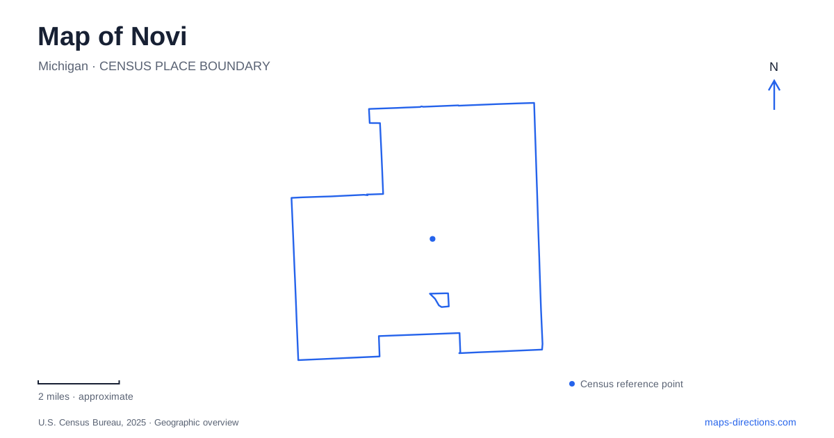
Street tiles load from OpenStreetMap when opened. The blue line shows the 2025 Census boundary.
- State
- Michigan
- Population · July 2025
- 67,319
- Land area
- 30.2 sq mi
- Water area
- 1.0 sq mi
Novi's parks give the numbered road system a set of distinctive destinations. Thirteen Mile Road reaches a public lakeshore, Ten Mile Road anchors a civic and cultural park, and Eight Mile Road serves a major sports complex connected to a longer trail. Napier Road adds an artist's former home and sculpture grounds. These places reveal a more varied landscape than the road grid alone suggests, with recreation shaped by water, civic history, art, and a utility corridor.
Walled Lake has two nearby public park settings
Pavilion Shore Park occupies approximately eleven acres on the southern shore of Walled Lake. The city lists it at 43390 Thirteen Mile Road, with walking paths, a fishing pier, a picnic plaza, and waterfront seating. Its relatively compact layout is suited to spending time directly beside the lake rather than treating the visit as a long woodland outing.
Lakeshore Park lies a short distance to the west and uses the address 601 South Lake Drive. The city identifies its swimming beach, picnic facilities, play areas, and extensive mountain-bike and multipurpose trails. This gives Novi two complementary public settings along the same lake: Pavilion Shore emphasizes the immediate waterfront, while Lakeshore extends recreation into a larger trail landscape. The similarity of their names should not obscure that difference. A beach outing, a mountain-bike ride, and sitting beside the fishing pier lead to different facilities even within this small part of the map.
An amusement landscape became public shoreline
Pavilion Shore occupies ground associated with the former Walled Lake Amusement Park and Walled Lake Casino. Its current open-space character is therefore a later chapter in a place long used for leisure. The modern park opened in 2013, replacing the historical entertainment setting with paths, gathering areas, and accessible views of the water.
David Barr's sculpture Fate of Empires adds another interpretive layer to the site. The city connects the work with the rise and fall of civilizations and with the property's changing identities. This is a useful way to read the shoreline: the present park does not erase the earlier uses, but presents them through a different public landscape. The lake remains the geographical constant while the structures and activities around it have changed. Its history is consequently more specific than a simple story of vacant land becoming a neighborhood park.
The ITC corridor gives the western parks a longer connection
The ITC Corridor Trail runs about 4.66 miles between the hospital campus and ITC Community Sports Park. Its route resulted from cooperation between the city and the utility company. Instead of following one commercial road, it uses a corridor that gives pedestrians and cyclists a separate way to move between recreation areas.
The city's trail information identifies access at the sports park on Eight Mile Road, a Nine Mile Road trailhead near Garfield Road, and Wildlife Woods Park on Wixom Road. These points make the trail legible across Novi's numbered roads. They allow an outing to begin at different sections rather than requiring everyone to start at one end. The municipality also describes wider regional links as an eventual objective; that language should not be mistaken for proof that every proposed connection is already complete. The existing corridor is useful in its own right without enlarging its scope beyond the verified route.
Fuerst Park belongs to the civic landscape
Fuerst Park stands at Ten Mile and Taft roads, with the listed address 45325 Ten Mile Road. Approximately eight acres of landscaped, rolling ground contain walking paths, a 150-seat amphitheater, and the historic Township Hall. The nearby public library and high school place it within an institutional setting rather than a lakeside or remote trail environment.
For Novi, this park supplies a compact gathering place where civic history and programmed performances meet everyday walking. The hall is a tangible reminder of local government before the current municipal landscape took shape. The amphitheater adds a different use, organized around an audience and a performance. Both fit within grounds small enough to understand as one designed park, in contrast to the ITC route's movement across multiple roads and recreation sites.
Napier Road holds an artist's former working environment
Villa Barr Art Park is at 22600 Napier Road. The four-acre property was the home of artist David Barr and dancer Beth Dwaihy Barr, and includes a residence, studio, and multiple outdoor sculptures. The state tourism description identifies accessible walkways and seating among the installations. Here, the relationship between artworks and their setting is the central attraction.
This gives Novi an art landscape that differs from both an indoor gallery and a conventional playground park. The former residence and studio explain why sculpture occupies the grounds: this was a place of artistic work as well as a home. Reading Villa Barr alongside the lakeshore, trail corridor, and civic park produces a map of distinct public experiences, each rooted in a particular property and history rather than an interchangeable list of green spaces.
Map and statistics: U.S. Census Bureau, 2025 Gazetteer, January 2025 generalized place boundaries and Vintage 2025 population estimates. Local references: City of Novi; Michigan Economic Development Corporation / Pure Michigan. Article prepared by Maps & Directions.