Map of Novato
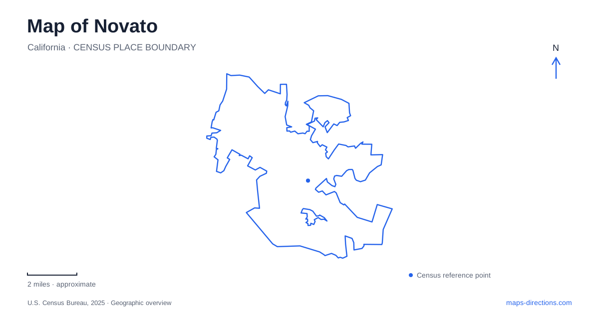
Street tiles load from OpenStreetMap when opened. The blue line shows the 2025 Census boundary.
- State
- California
- Population · July 2025
- 51,947
- Land area
- 27.4 sq mi
- Water area
- 0.6 sq mi
Novato stretches between inland hills and the San Pablo Bay shoreline, with an older downtown and the former Hamilton military airfield offering two very different urban landscapes. The western side opens toward reservoir country and wooded preserves. Along the bay, restored wetlands occupy land once used for aviation. These contrasts make terrain and land use especially helpful when reading a map: the city is easier to understand as connected districts than as a single uniform street grid.
Grant Avenue and the older center
Grant Avenue provides a recognizable downtown shopping and dining corridor. Nearby historical buildings give the center a chronology that can be read at street level. The former Presbyterian church, built in 1896 and used as City Hall, belongs to the civic landscape, while Druid's Hall dates to 1899. Their presence distinguishes this older commercial area from the planned redevelopment at Hamilton.
The Novato History Museum occupies the 1850 Postmaster's House at 815 DeLong Avenue. That address offers a specific historical destination near the downtown streets. The museum building itself is part of the story: a relatively small nineteenth-century house now interprets a community that has grown far beyond its original setting. Pairing it with Grant Avenue creates an introduction centered on the older town rather than on its later military landscape.
Hamilton's aviation landscape
Hamilton Field was built on farmland beside San Pablo Bay in the early 1930s and dedicated in 1935. Its subsequent conversion brought residential, commercial, civic, and open-space uses to the former military property. Consequently, a map of the district contains the remnants of an airfield organization alongside the functions of a present-day neighborhood. The historic buildings are part of an inhabited community, not a detached collection of exhibits.
Hamilton Field History Museum stands at 555 Hangar Avenue in the 1934 firehouse. It opened as a museum in 2010 after volunteers worked with the city to adapt the building. This is a separate museum from the house on DeLong Avenue, with a specific focus on the base's development and operation. The Hangar Avenue name reinforces the aviation history, while the reused firehouse shows how that history survives through buildings with new purposes.
Where the runway landscape became marsh
The eastern edge of Hamilton underwent another major transformation when an outer levee was breached on April 25, 2014. Bay water returned to the former airfield restoration area, reconnecting it with tidal processes after more than a century behind a barrier. The project converted 648 acres toward wetland habitat, using dredged material to raise the land and support marsh development.
A section of Bay Trail was completed as part of the restoration. Walking beside this landscape offers a perspective different from viewing aircraft displays or former base buildings: it reveals the environmental scale of the site's reuse. On a map, the trail and marsh should be read together. The path provides the public route, while the broad wetland area explains the open expanse beyond it and the changing relationship between land and water.
West toward Stafford Lake
Stafford Lake Park occupies a different kind of waterside setting at 3549 Novato Boulevard. The lake is a North Marin Water District reservoir, with shore fishing, picnic spaces, a nature trail, and a bike park among the recreation opportunities around it. Swimming and boating are prohibited. That distinction matters because a large blue area on a map can otherwise suggest a swimming lake or launch destination.
The Terwilliger Nature Trail and disc golf course add land-based choices to the park. A visit here can therefore focus on the surrounding landscape without entering the water. Compared with the tidal marsh at Hamilton, the reservoir represents a managed freshwater environment reached through the inland road network. Seeing both on one map makes the variety of local water landscapes much clearer.
Wooded slopes around Indian Valley
Indian Valley Preserve wraps around the College of Marin's Indian Valley campus. Ignacio Boulevard provides an approach through the campus to its western parking area. The preserve contains oak and bay forest, with the Ad and Gloria Schwindt Trail offering a loop and Waterfall Trail leading toward a rainy-season cascade. The seasonal description is essential: the waterfall is not a constant feature of every visit.
These wooded slopes complete a useful first picture of Novato. Downtown preserves an older civic and commercial center, Hamilton combines military heritage with marsh restoration, and the western recreation areas reveal reservoirs and forested terrain. A map of Novato becomes most useful when those differences guide the choice of destination and the kind of outing planned.
Map and statistics: U.S. Census Bureau, 2025 Gazetteer, January 2025 generalized place boundaries and Vintage 2025 population estimates. Local references: Visit Novato; City of Novato; Novato Historical Guild; California State Coastal Conservancy; Marin County Parks. Article prepared by Maps & Directions.