Map of Norwich
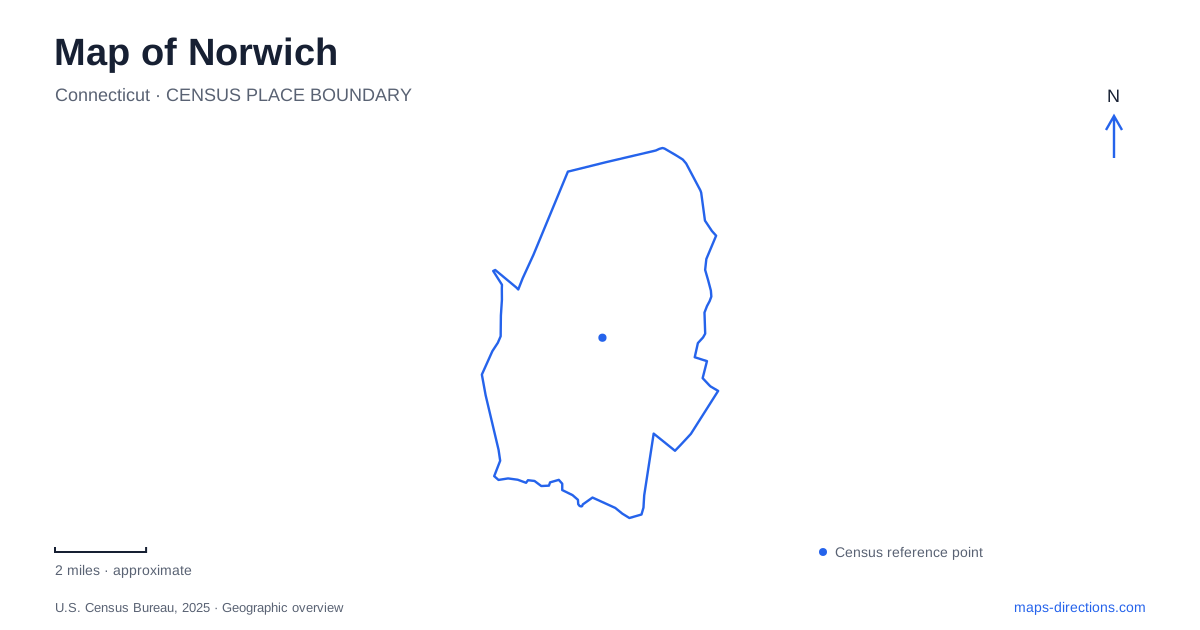
Street tiles load from OpenStreetMap when opened. The blue line shows the 2025 Census boundary.
- State
- Connecticut
- Population · July 2025
- 40,001
- Land area
- 28.1 sq mi
- Water area
- 1.3 sq mi
Norwich gathers several different landscapes around the meeting of three rivers. The Yantic and Shetucket converge at the head of the Thames, creating the harbor beside downtown. Upstream, a waterfall and industrial remnants mark another chapter in the city's development. Away from the waterfront, Norwichtown Green preserves the setting of early English settlement, while Mohegan Park rises into a wooded landscape around ponds. Understanding how these places relate is more useful than imagining the city as a single compact historic center.
The harbor and its three directions
The confluence provides an unusually clear organizing point. From the downtown waterfront, the Yantic leads toward the falls, the Shetucket toward Greeneville, and the Thames downstream toward Long Island Sound. The city's water-trail brochure identifies Howard T. Brown Memorial Park as a public launching location. It places Yantic Falls about one mile upstream and Greeneville Dam about two and a half miles upstream on their respective rivers. Those figures describe water routes, not equivalent walking or driving distances.
This geography explains the harbor's importance. It brings inland river corridors together at the head of a navigable connection to the coast. A Norwich map can therefore show industrial and trading history through the shape of the waterways themselves. The water-trail brochure explicitly serves as a reference map rather than a navigation chart; its value here is in clarifying the branches and landmarks around the confluence, not in specifying a safe passage through every river feature.
An older settlement beyond downtown
Early English settlement centered on Norwichtown Green after the 1659 purchase from the Mohegan Tribe. Supplies initially arrived at a landing near the base of Yantic Falls. The authorization of a new public landing at the head of the Thames in 1684 encouraged the development of the waterfront that became downtown. These locations explain why the colonial green and the later commercial center occupy different parts of the city.
The historical society identifies colonial and Victorian houses, shops, schools, and a church around the green, with Lowthorpe Meadows and the Colonial Burying Ground among the district's important features. Nearby Bean Hill is another early neighborhood, with houses around its own green dating from the eighteenth and early nineteenth centuries. Norwich thus contains more than one old neighborhood center. Their separate greens and building groups preserve the geography of settlement before the harbor and factories became the dominant organizing forces.
Yantic Falls and a sacred landscape
Uncas Leap Heritage Park occupies the waterfall and gorge setting at 196–200 Yantic Street. The city identifies it as a sacred place in Mohegan history associated with the 1643 Battle of Great Plains. A nineteenth-century mill ruin adds a later industrial layer to the same river landscape. The site should consequently be understood through both Indigenous history and the use of falling water for manufacturing, rather than as a scenic waterfall detached from its cultural setting.
The city acquired the property in 2010. After years of planning and collaboration involving municipal organizations and the Mohegan Tribe, the park was dedicated in November 2024. The Heritage Trail follows the Yantic between downtown and this site, with a listed round-trip length of 2.8 miles. That river corridor ties the falls to the harbor story and gives a Norwich walking map a historical sequence: the water that shaped settlement also powered industry and now frames a public heritage landscape.
Woodland above the river city
Mohegan Park offers a substantial change in setting. The municipal brochure describes almost 385 acres, predominantly deciduous woodland, elevated above the city. Spaulding Pond occupies the park's center, while Lower Pond lies near the Mohegan Park Road entrance. Both are impoundments formed by earthen dams. Their presence shows that this apparently rural landscape also includes deliberate engineering.
The park developed through gifts of land, with early donations in 1906 and further contributions expanding the grounds. A rose garden was later established near the Rockwell Street entrance, with landscape design by Thomas H. Desmond. Woodland paths, the formal garden, and pond-side facilities therefore represent different kinds of designed outdoor space within one large park. The Lakeside Pavilion's deck overlooks Spaulding Pond, giving group gatherings a specific waterside setting rather than a generic location somewhere in the woods.
A map of Norwich gains clarity from keeping these scales together: a three-river harbor, older greens, a waterfall with deep cultural significance, and an elevated woodland park. Each explains a different reason people settled, worked, gathered, or created public space here.
Map and statistics: U.S. Census Bureau, 2025 Gazetteer, January 2025 generalized place boundaries and Vintage 2025 population estimates. Local references: City of Norwich; Norwich Historical Society; Norwich Community Development Corporation. Article prepared by Maps & Directions.