Map of Norwalk
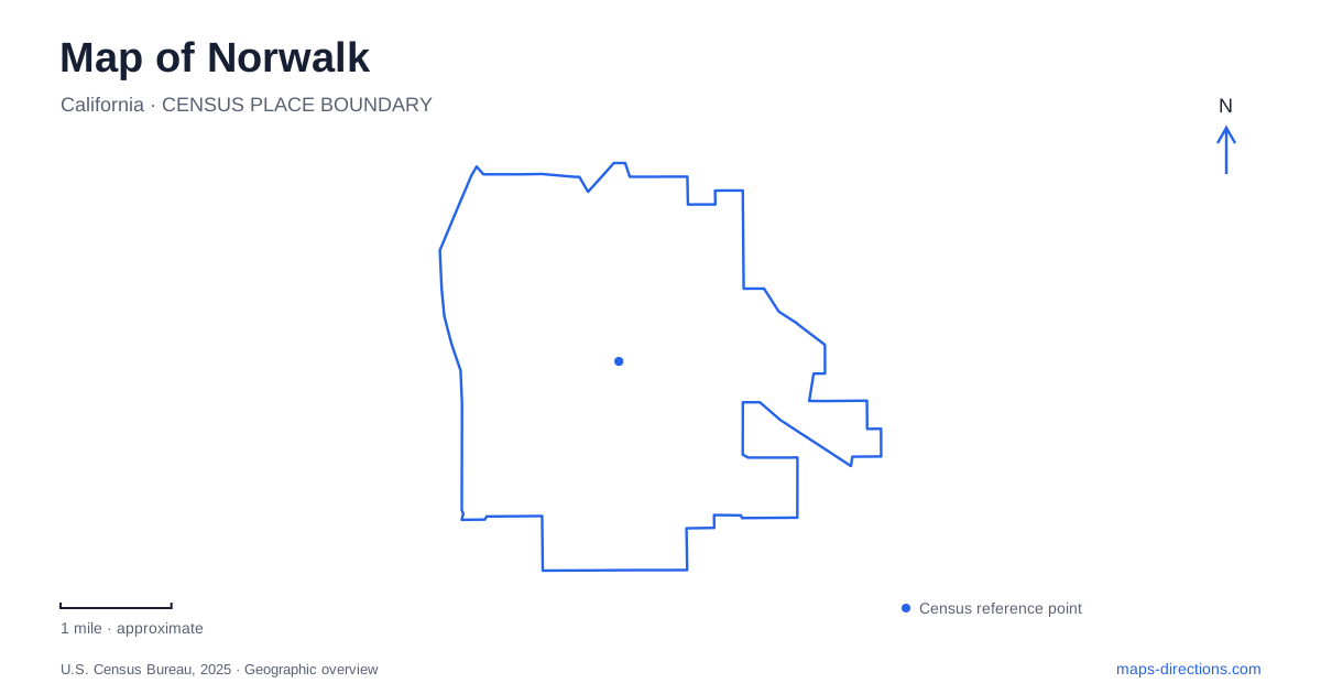
Street tiles load from OpenStreetMap when opened. The blue line shows the 2025 Census boundary.
- State
- California
- Population · July 2025
- 97,104
- Land area
- 9.7 sq mi
- Water area
- 0.0 sq mi
Norwalk sits within a dense network of Southern California roads and rail services, but several of its most important destinations require a closer reading than their names suggest. Two railway stations serve different systems at different addresses. A college named for a neighboring city occupies a local campus, while a Victorian farmhouse recalls the orchards that preceded today's streets. These distinctions provide a useful starting point for reading the city map.
Two stations serve different rail journeys
The Metro station is at 12901 Hoxie Avenue. It is the eastern end of the C Line, which connects with LAX/Metro Transit Center. This is the light-rail destination to select when planning a C Line journey. Its Hoxie Avenue address separates it geographically from the regional railway station on Imperial Highway.
Norwalk/Santa Fe Springs station stands at 12650 Imperial Highway and serves Metrolink's Orange County and 91/Perris Valley lines. Metrolink explicitly identifies a bus transfer for the connection to Metro's station. The two facilities are therefore not adjoining platforms within one interchange, even though a general search for local trains may return both.
This distinction changes the shape of an itinerary. A journey on the C Line begins with the Hoxie Avenue facility, while a regional Metrolink trip begins on Imperial Highway. The latter station also requires a parking permit. Choosing the rail operator and line before calculating the road approach avoids building a trip around the wrong facility.
The shared regional-station name reflects its service to two communities. It should not be read as an instruction to search for an entirely separate platform in each city. The published station address, rather than either municipal office address, identifies the passenger destination.
The Civic Center and its public spaces
Imperial Highway is also an important reference for the Civic Center. The Walk redevelopment is changing the setting around City Hall and the courthouse, with the aim of creating a mixed-use community gathering district. This is a construction project with a long-term outcome, rather than a completed attraction that can be assumed to match its promotional renderings.
The Civic Center Parking Structure is approached via Avenida Manuel Salinas, with connections from Imperial Highway and Civic Center Drive. Those named streets provide useful references for reaching the district around City Hall and the courthouse. Building admission, parking access and movement across public open spaces are separate parts of a civic-center visit, particularly when construction changes the pedestrian route between them.
The same update explained that the Freedom Memorial and Patriot Concourse time capsule had been preserved for return after construction. Their temporary absence from a familiar outdoor location does not mean they were discarded. For a visit to Norwalk during this redevelopment, the working civic buildings and the future gathering spaces need to be understood as different stages of the same site.
A farmhouse preserves the agricultural landscape
The D.D. Johnston-Hargitt House Museum at 12426 Mapledale Street offers a much older frame of reference. Built in 1891, it is a two-story Eastlake Victorian farmhouse associated with Darius David Johnston. The city describes the former property as including extensive plantings of grapes, prunes, avocados, and citrus.
Johnston also helped organize the local school district. The house therefore connects agricultural land use with the institutions that developed as the community grew. Family heirlooms and other memorabilia give the museum a domestic scale: its story is rooted in a household and its surroundings rather than a broad collection assembled from unrelated places.
This surviving farmhouse makes an especially useful historical stop because its street address now places it within a developed city. Comparing that present setting with the former agricultural property helps explain the magnitude of the landscape's transformation without requiring an imagined reconstruction of every orchard boundary.
The college name crosses a municipal expectation
Cerritos College is in Norwalk, at 11110 Alondra Boulevard. The college identifies Alondra and Studebaker Road as the principal intersection and notes that the administration building faces north toward Alondra. Its official driving directions use the Alondra exit from Interstate 605, followed by an eastward approach past Studebaker.
The institution's campus guide provides separate maps for buildings and parking, appropriate for a site containing classrooms, arts facilities, and athletic grounds. Alondra identifies the campus frontage; it does not describe the location of every activity within the grounds.
A map of Norwalk becomes clearer when these local distinctions remain visible. Hoxie Avenue and Imperial Highway identify separate rail systems, Avenida Manuel Salinas helps organize Civic Center access, Mapledale Street preserves a farmhouse setting, and Alondra Boulevard leads to the college. Together, they reveal a city shaped by transportation, education, civic redevelopment, and an agricultural past.
Map and statistics: U.S. Census Bureau, 2025 Gazetteer, January 2025 generalized place boundaries and Vintage 2025 population estimates. Local references: Los Angeles Metro; Metrolink; City of Norwalk; California State Clearinghouse / City of Norwalk; Cerritos College; Cerritos College Foundation. Article prepared by Maps & Directions.