Map of Northglenn
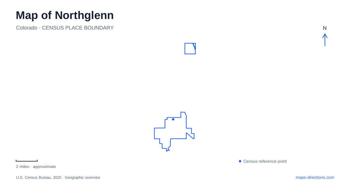
Street tiles load from OpenStreetMap when opened. The blue line shows the 2025 Census boundary.
- State
- Colorado
- Population · July 2025
- 38,893
- Land area
- 7.4 sq mi
- Water area
- 0.1 sq mi
Northglenn is easier to understand as a planned suburban community with several public centers than as a town organized around one old commercial square. Residential growth, Interstate 25, water corridors and later civic investment each left a different pattern. A map that shows only the highway misses the paths, reservoirs and public buildings that connect everyday destinations at a smaller scale. The city's comprehensive plan places its early subdivisions near 99th Avenue and Huron Street, on land that had been largely agricultural. By the late 1950s and early 1960s, the Perl-Mack development was selling homes as part of a broader planned community. Incorporation followed in 1969. The houses and neighborhood layout therefore began taking shape before the municipal government existed.
Planned streets and an older water network
The master-planned origin helps explain the curving residential streets described in architectural histories of the community. They serve a different function from the major numbered avenues and north–south roads. A short straight-line distance between two houses may involve a less direct street route because the local roads were arranged around neighborhoods rather than a continuous downtown grid.
Waterways introduce another pattern. The Farmers' Highline Canal crosses the western side near Northwest Open Space and continues toward the Webster Lake area before entering neighboring Thornton. The city's open-space plan identifies a parallel greenway and a pedestrian underpass at I-25.
For Northglenn, this is an important distinction between a barrier and a connection. The interstate divides the street landscape, while the canal corridor supplies a separate route across it. The watercourse also predates its modern recreational role: the blue line and the path beside it should not be read as the same facility.
The open-space plan describes the canal as seasonal. A mapped channel therefore does not promise flowing water throughout the year. Its physical corridor remains relevant even when the amount of water changes.
Webster Lake and the civic area
Webster Lake sits within E.B. Rains Jr. Memorial Park near Community Center Drive. City pavilion listings locate individual gathering places around the lake, including the Ponderosa Pavilion on its southwest side. A general park marker is consequently less precise than the particular pavilion or activity location someone intends to reach.
Across this civic setting, recreation, arts and municipal functions have changed buildings over time. Older photographs and directions may show facilities that have since been replaced. This matters particularly when an event description uses a familiar institution name without giving its current entrance.
The lake and the civic campus work well as a shared orientation point for Northglenn, but they are not a single building or parking lot. Keeping the water, park grounds and indoor facilities separate on the map makes the cluster much clearer.
Parsons Theatre's newer home
The city's arts program moved into the new recreation and cultural facility in 2021. Parsons Theatre is at 1 East Memorial Parkway. The arts organization's parking map explicitly distinguishes the newer facility from its former home farther north.
That map is useful evidence of a relocation, but older labels for surrounding municipal lots should not be treated as permanent instructions. The reliable destination is the current theater entrance and the operator's current event guidance. An address copied from a pre-move program can lead to the wrong part of the campus.
The combination of theater and recreation in one building also explains why multiple labels may overlap at this location. They represent different activities within a shared facility, rather than several standalone structures. Someone attending a performance needs the theater approach, while a fitness visit may be organized around another part of the same complex.
Smaller waters on the western side
Croke Reservoir is a separate water body beside Danahy Park, between Huron Street, Roseanna Drive and Naiad Drive. City project documents identify it as a site for trail, signage and habitat-related work. It should not be confused with Webster Lake merely because both appear as blue shapes within an urban park system.
Winburn Park adds another setting south of 112th Avenue on the east side of Huron Street. The open-space inventory describes two ponds, wetland plants and a loop trail. These smaller waters help explain why neighborhood green space sometimes follows irregular edges rather than rectangular blocks.
Reading these sites together reveals Northglenn's combination of designed residential land and retained water-related corridors. A reservoir margin, a drainage route and a recreation lawn may touch one another while having different purposes and access arrangements.
The commuter-rail destination
RTD places the N Line's local station at 11355 York Street. The line connects this eastern part of the community with Denver Union Station and other north-metro stops. Its rail alignment is distinct from I-25 and from the Community Center Drive civic cluster.
This makes the station name a regional arrival reference, not a promise that every city destination is immediately outside the platform. The final connection to a theater, park or neighborhood still needs to be planned around its actual location.
A useful map of Northglenn therefore holds several systems together: the planned residential streets, the canal and ponds, the Webster Lake public center and the eastern commuter-rail corridor. Their relationships explain the city more accurately than a single downtown pin.
Map and statistics: U.S. Census Bureau, 2025 Gazetteer, January 2025 generalized place boundaries and Vintage 2025 population estimates. Local references: City of Northglenn; Society of Architectural Historians; Northglenn Arts; Regional Transportation District. Article prepared by Maps & Directions.