Map of North Miami
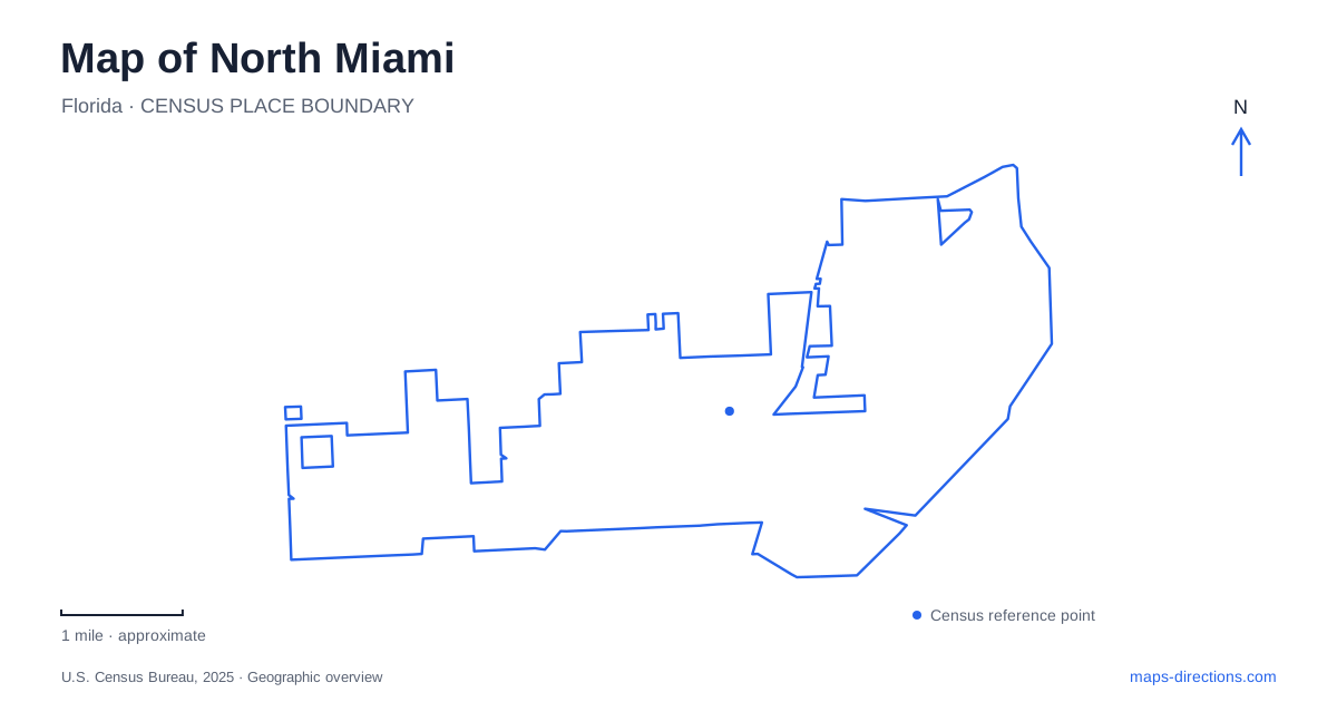
Street tiles load from OpenStreetMap when opened. The blue line shows the 2025 Census boundary.
- State
- Florida
- Population · July 2025
- 60,884
- Land area
- 8.5 sq mi
- Water area
- 1.6 sq mi
North Miami's map combines a numbered street system with several places where water and woodland interrupt the urban pattern. The contemporary-art museum anchors a district on Northeast 125th Street, Arch Creek supplies a natural and historical corridor farther north, and Florida International University's Biscayne Bay Campus occupies a separate waterfront setting. These are distinct parts of the community. Understanding their street references and landscape relationships is more useful than assuming that everything north of central Miami belongs to one undifferentiated district.
The street that changes its number
The Museum of Contemporary Art stands at 770 Northeast 125th Street, between Northeast Seventh Court and Eighth Avenue. Its own directions identify a useful local peculiarity: the approach west from Biscayne Boulevard begins on Northeast 123rd Street, which becomes 125th Street. A visitor comparing the two numbers could easily assume that a turn is missing, when the corridor itself changes its designation.
This detail makes the museum an especially useful reference on a North Miami map. Interstate 95 lies along the western approach described by the museum, while Biscayne Boulevard provides the eastern approach. The numbered cross streets then locate the building within the district. Reading the corridor in that order connects regional roads, the changing street name, and the final block into one understandable sequence.
The museum occupies the Joan Lehman Building. Keeping the institution and building name together can also help when interpreting an event description. The surrounding numbered avenues matter because they establish the museum's position within the local grid, whereas the broader city name alone says relatively little about the precise setting.
Two parks beside Arch Creek
Enchanted Forest Elaine Gordon Park is at 1725 Northeast 135th Street, bordering Arch Creek. Paved paths, subtropical vegetation, gardens, and picnic facilities give it a wooded recreation setting within the surrounding street network. Arch Creek Park, operated by the county, is separately listed at 1855 Northeast 135th Street. The two parks lie near one another, with the railway corridor between them.
Their shared creek and street explain the close association, but their individual identities matter. The county park preserves an archaeological and natural setting associated with a limestone bridge formation. Its museum contains artifacts connected with Indigenous people and later settlers. The municipal park emphasizes a broader mixture of recreation, gardens, and woodland paths.
On a neighborhood map, the two names reveal a small but layered landscape. The creek is the natural thread, the railway is a dividing line, and 135th Street provides the common road reference. This is an area where enlarging the map reveals more than additional detail: it explains why two separate park destinations are repeatedly mentioned together. They share geography without being one interchangeable facility.
The university beside Biscayne Bay
Florida International University's Biscayne Bay Campus is reached through its Northeast 151st Street address. The university's main southwest Miami campus has a different name and location, so the campus designation is essential. A search for the university without that qualifier can produce a geographically inappropriate result even when the institution is correct.
The campus map shows academic buildings, the Glenn Hubert Library, hospitality facilities, housing, and waterfront features including a dock and bay launch. Those elements organize a setting where the water edge is part of the campus geography. A building-level map is useful here because a general university marker compresses several separate destinations into one point.
North Miami's waterfront identity is particularly clear in this setting. The relationship between campus roads, buildings, and Biscayne Bay differs from the museum's street-grid location or the creek-side parks. A visit involving both university and museum destinations therefore crosses between genuinely different local environments, rather than merely moving between two civic buildings in the same district.
Oleta and the neighboring place names
Oleta River State Park adds a larger natural landscape associated with the area. The park is crossed by its namesake river, with water and habitat forming the core of its setting. Florida State Parks lists the entrance at 3400 Northeast 163rd Street using a North Miami Beach mailing address. That wording is worth preserving because the neighboring municipality's name resembles the city's name but is not identical.
For an overview of North Miami, use the numbered streets as a northward sequence while keeping the landscape differences visible: the museum corridor around 125th, the creek parks on 135th, the bay campus on 151st, and the state-park entrance on 163rd. The numbers provide order, but the river, bay, railway, and distinct institutions explain what each district is actually like. Together they turn a seemingly repetitive numbered grid into a much more legible local map.
Map and statistics: U.S. Census Bureau, 2025 Gazetteer, January 2025 generalized place boundaries and Vintage 2025 population estimates. Local references: Museum of Contemporary Art; City of North Miami; Miami-Dade County; Florida International University; Florida State Parks. Article prepared by Maps & Directions.