Map of North Dakota
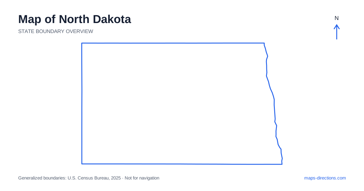
North Dakota extends from the Red River Valley on the east to rolling plains and badlands in the west. Fargo, Grand Forks, Bismarck, Minot and Dickinson provide useful anchors across this broad landscape. The state's mostly rectangular outline can make its interior look uniform, but the major rivers and western terrain create distinct travel regions. Begin by locating the destination relative to the eastern valley, central river corridor or western uplands. That framework makes the highway network more informative than a simple grid of lines across open country.
Establish the eastern river boundary
The Red River forms the eastern edge of North Dakota beside Minnesota. Fargo and Grand Forks sit along this corridor, with neighboring communities across the river. A regional city description can therefore refer to places on either side of the state line. Use the exact address and identify the bridge serving it before choosing a local approach.
Interstate 29 follows the eastern north-to-south corridor and helps organize movement between the main river-valley cities. It does not put every local destination directly on the highway. A downtown visit, airport arrival and rural address outside the urban area each need their own final route. Keep that detail visible, especially when a journey combines a city stay with an onward drive across the interior toward the central or western regions.
Follow the main east-to-west highway
Interstate 94 crosses the state from the Fargo region through Bismarck and Dickinson toward the western border. It offers a strong orientation line, but the cities and destinations along it are separated by substantial open stretches. A map showing the entire state can make those intervals seem smaller than they are in an actual day's itinerary.
A stop near the corridor should be located by its precise exit and access road. An attraction in the surrounding countryside may require both an outward approach and a return to the interstate before the next stage can begin. Plot those legs explicitly rather than counting only the straight-line distance from the highway. This helps distinguish a convenient nearby stop from a separate excursion into another part of the regional landscape.
Place the capital beside the Missouri River
Bismarck, the capital of North Dakota, sits on the Missouri River, with Mandan across the water to the west. The river is a major interior landmark and a practical boundary for local movement. A destination on the opposite bank may need a particular bridge and road approach, even when both places belong to the same wider urban region.
The river corridor continues well beyond the capital area and includes large reservoirs. A waterfront recreation destination should therefore be identified by its actual shore and access point, not simply by the river's name. The center of a reservoir is not a driving destination. A closer map is needed to show the approach to a campground, launch or visitor facility and how that approach connects with the main road network.
Give the northern towns a separate corridor
Minot occupies a north-central position, while Williston lies farther west near the Missouri River region. Grand Forks anchors the eastern end of the broader northern part of the state. US 2 provides an important east-to-west connection through these regional areas, distinct from Interstate 94 farther south. A northern visit should not be treated as a minor roadside stop on the southern corridor.
Devils Lake is both a town reference and the name associated with a large waterbody, so a destination description needs enough detail to distinguish the two. A lakeside property can lie on a different shore from the town used in its address. Identify the specific access road and any crossing before comparing stops. This makes local water geography visible within a region that can otherwise look deceptively simple on a broad plains map.
Read the western badlands through their access points
Western North Dakota includes badlands terrain with eroded slopes, valleys and a road pattern different from the flatter eastern river valley. Medora is a useful reference point near the southern unit of Theodore Roosevelt National Park, while the park's northern unit occupies a separate location farther north. These areas should not be represented as neighboring entrances to one compact urban-style park.
Choose the intended unit and visitor destination before drawing the regional route. A broad park boundary or a pin placed between its separate areas can produce a misleading impression of access. The surrounding towns and highways explain how the units fit into a journey, while the detailed park road view explains the final approach. Current access conditions belong in a separate check for the intended date rather than being inferred from the map alone.
Make the regional distances part of the schedule
An eastern city visit, a central river stay, a northern-lakes trip and a western badlands itinerary each provide a coherent focus. Combining them requires deliberate regional transfers. Place the overnight stops first so that the route progresses across the state instead of repeatedly returning to a distant starting city simply because it is the largest familiar label.
For a North Dakota journey, use the state outline to establish the main region and a detailed road map to identify the correct riverbank, reservoir shore or park unit. Keep local approaches distinct from the interstate or highway transfer. This reveals the practical variety within the broad plains setting and helps turn a simple-looking map into a route with clear, connected stages.