Map of North Charleston
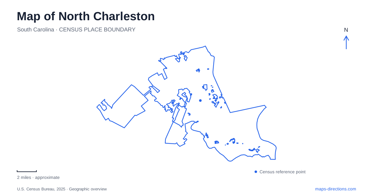
Street tiles load from OpenStreetMap when opened. The blue line shows the 2025 Census boundary.
- State
- South Carolina
- Population · July 2025
- 129,245
- Land area
- 78.0 sq mi
- Water area
- 3.6 sq mi
North Charleston has several centers with very different origins. Park Circle expresses an early planned community, the Cooper River waterfront reflects the former naval base, and the Coliseum area relates to major highways and regional travel. A map becomes more useful when these settings are kept distinct. The city is a municipality in its own right, rather than a loose label for anything north of the neighboring historic downtown. Its internal geography deserves the same attention as the larger Charleston-region map.
A circle gives the older neighborhood its structure
Park Circle is a defining feature of the local street pattern. The city's tourism material connects it with an early twentieth-century garden-community plan and describes streets arranged around a central circular park. Municipal planning likewise identifies it as the centerpiece of the original planned community. The shape is therefore more than a memorable traffic feature: it provides evidence of how the neighborhood was conceived.
This circular focus differs from the straight commercial frontage along East Montague Avenue. The older city plan identifies the business stretch between Spruill and Virginia avenues, and tourism information describes the associated Olde Village district. Together, the circle and the avenue explain two related experiences: a central public landscape and a nearby commercial corridor. One should not be reduced to a generic downtown marker that conceals the other.
For a North Charleston neighborhood map, those named streets are useful anchors. They allow the reader to place a shop, restaurant or public destination in relation to the planned center. The important relationship is local and legible at the block scale. It contrasts with the much larger facilities and transport spaces elsewhere in the city, where a single property can occupy a substantial portion of the screen.
The naval waterfront became public landscape
Riverfront Park occupies part of the former Charleston Naval Base along the Cooper River. The base closed in 1996, and the public park opened in 2005. This change of use is central to understanding the waterfront: an area once defined by a military installation now includes public recreation and cultural space. The Naval Base Memorial retains an explicit connection with the personnel and history of the former base.
Noisette Creek adds another geographic feature beside the river. The pedestrian bridge connects the established park with land on the creek's north side, making the creek crossing part of the public-space arrangement. On a map, distinguish the broad Cooper River edge from the smaller creek and its crossing. They play different roles in the layout even though both are water features within the same waterfront view.
North Charleston's waterfront also carries historic buildings and cultural references, including the Gatekeeper's Inn and the Eternal Father of the Sea Chapel described by the tourism authority. These features help explain why Riverfront Park is more than a generic open lawn beside water. Its identity comes from the relationship between the landscape and the former base. A park-scale map reveals that relationship more clearly than a highway overview.
The event complex belongs to another road setting
The Coliseum, Performing Arts Center and convention center occupy a separate complex between International Boulevard and Montague Avenue at Interstate 526. The venue's directions give 5001 Coliseum Drive as the Coliseum address and distinguish the approaches to the arena and performing-arts facilities from the convention-center approach. This is a cluster of related venues, not one building with several interchangeable names.
That road setting also helps locate the airport side of the city. The regional aviation authority uses International Boulevard for its airport address. The boulevard therefore provides a useful broader reference, but an airport trip and an event trip remain different journeys. For North Charleston visitors arriving for a conference or performance, the actual venue name is more informative than a broad airport-area hotel or shopping label.
Read the city through its different centers
Municipal planning also identifies Reynolds Avenue as a local business corridor and describes cultural activity along the Ashley River at The Bend. These references broaden the picture beyond Park Circle and the Cooper River. They show that commercial streets, former industrial or military land and river-related public spaces contribute different pieces to the city's identity.
A North Charleston overview should consequently preserve several reference systems at once. Park Circle and East Montague explain an older neighborhood; the Cooper River and Noisette Creek explain the naval waterfront's transformation; International Boulevard, Montague Avenue and I-526 explain the large event complex. Moving between those scales creates a coherent local map without pretending that all notable destinations occupy one compact historic center.
Map and statistics: U.S. Census Bureau, 2025 Gazetteer, January 2025 generalized place boundaries and Vintage 2025 population estimates. Local references: North Charleston Tourism; City of North Charleston; North Charleston Coliseum and Performing Arts Center; Charleston Regional Aviation Authority. Article prepared by Maps & Directions.