Map of North Carolina
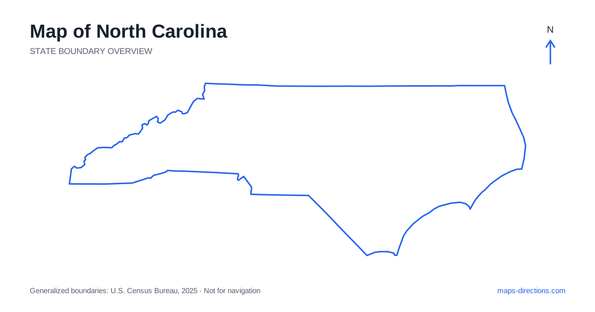
North Carolina stretches from Appalachian mountain country to Atlantic barrier islands, with a broad belt of cities across the Piedmont between them. Asheville, Charlotte, Greensboro, Raleigh and Wilmington orient different parts of that long east-to-west shape. The Outer Banks form another distinct coastal setting beyond the mainland. A useful map begins with those three broad landscapes: mountains, Piedmont and coastal plain. Their road patterns and arrival points differ enough that a destination should be placed within its actual region before it is added to a statewide itinerary.
Read the western mountains through their approaches
Western North Carolina contains high ridges, valleys and mountain towns whose connections are shaped by terrain. Asheville is an important regional anchor, but it does not provide a single interchangeable approach to every destination in the Blue Ridge or Great Smoky Mountains. A town across a ridge can appear close while being reached by a much longer road through another valley.
Choose the intended park entrance, trailhead or accommodation address before selecting the route. Scenic roads and through highways have different purposes, and a line along a ridge should not automatically be treated as the most efficient transfer. A terrain view helps explain the shape of the drive. Current road availability is a separate check, especially when the plan relies on a particular mountain crossing or recreation access road.
Place Charlotte and the Triad in distinct city regions
Charlotte anchors the southwestern Piedmont and has a large metropolitan network extending beyond its central district. Greensboro, Winston-Salem and High Point form the Triad farther northeast. These are separate urban regions with different approaches, even though all belong to the broader Piedmont landscape. A visit involving both should show the actual regional transfer.
Interstate 85 provides an important connection through the Charlotte and Greensboro corridor and onward toward the central-eastern cities. The route is useful for orientation, but local destinations still require specific exits and street approaches. An airport hotel, downtown venue and suburban address can occupy different sides of a metropolitan area. Choose the final location before deciding whether it fits naturally into the next leg of the journey.
Understand the Triangle and the capital
The capital of North Carolina is Raleigh, which forms part of the Triangle region with Durham and Chapel Hill. The regional name is convenient, but it should not hide the distance and different road networks between those cities. A campus visit in one city and an appointment in another are distinct arrival tasks rather than stops within a single downtown district.
Interstate 40 is a major east-to-west framework through the state and connects important parts of the Triangle with other regions. The precise route through the metropolitan area depends on the actual destination, not simply the nearest city label on a statewide map. For an overnight stay, consider the next day's first stop and departure direction. That can avoid repeated crossings of the same urban corridor when several visits are planned.
Follow the coastal plain toward the correct river or shore
East of the Piedmont, the landscape opens into a broad coastal plain with towns, agricultural areas and river systems. Interstate 95 crosses the eastern interior from north to south, but it is not a road along the ocean. A destination at the coast requires a separate eastward connection from the inland corridor.
Wilmington sits near the Cape Fear River in the southeastern region and has a different geographical relationship to the ocean from the Outer Banks farther north. Beaches near Wilmington also have their own approach roads and local entrances. A general coastal label is too broad for route planning. Identify the intended town, riverbank or beach access point, then trace the route back to the main regional highway.
Treat the barrier islands as a separate road pattern
The Outer Banks of North Carolina form a chain of narrow islands divided from the mainland by sounds and connected in different ways by bridges, roads and, for some journeys, ferries. Nags Head, the Hatteras area and other island destinations occupy distinct positions along that chain. A small map can make them look like one short beachfront strip when they actually involve separate travel stages.
Choose the specific island community and confirm the type of connection used to reach it. A ferry segment should be represented separately from driving, with its own arrangements rather than an assumed continuous road line. On the islands, the exact lodging address and access road still matter. The nearby mainland may be visible across the sound without offering a direct road crossing at the closest point.
Arrange the itinerary from region to region
A mountain stay, a Piedmont city trip, a southeastern coastal visit and an Outer Banks journey each provide a clear starting focus. Combining them means crossing a long state with real changes in terrain and road structure. Put overnight stops into the regional sequence before adding optional attractions, so the plan does not repeatedly double back between mountains, cities and coast.
For a North Carolina itinerary, keep the chosen valley, metropolitan district or island attached to every destination. Use the statewide outline to select the broad region and a closer road map for the final approach. This makes the differences between an interstate transfer, a mountain road and a barrier-island connection visible. The result is a route shaped by the state's actual geography rather than by the apparent closeness of labels on a wide overview.