Map of Norman
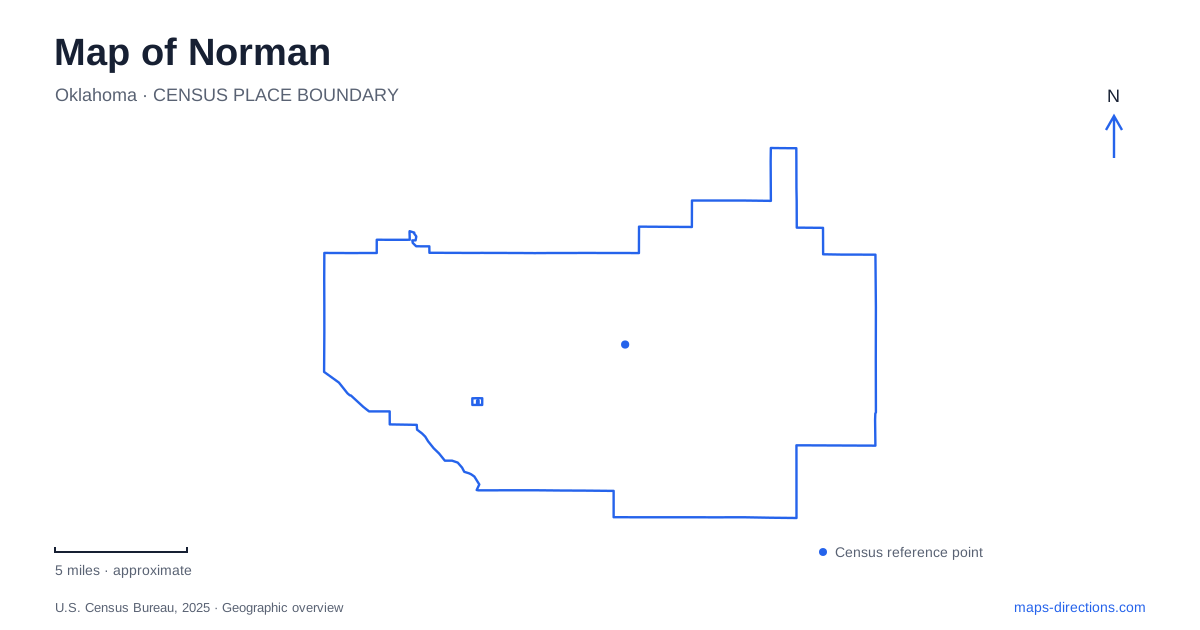
Street tiles load from OpenStreetMap when opened. The blue line shows the 2025 Census boundary.
- State
- Oklahoma
- Population · July 2025
- 130,943
- Land area
- 178.7 sq mi
- Water area
- 10.5 sq mi
Norman has two historic centers of gravity: the railroad town and the University of Oklahoma. A third, very different landscape appears around Lake Thunderbird. Together they explain why a city map needs to show more than the university or a single downtown marker. Main Street and University Boulevard connect the urban story, the campus ovals introduce a distinct internal pattern, and the reservoir brings a broader watershed and recreation geography into view.
The railroad town came first
The city's history describes development around the Santa Fe Railroad, with passenger and freight facilities helping establish the early commercial center. The preserved depot remains a physical reminder of that origin. This makes the railway more than a line crossing the map: it helps explain where the older town developed and why downtown has an identity separate from the university district.
Main Street is the useful road reference for that central setting. The tourism map distinguishes historic downtown from Campus Corner and the university area, while labeling connecting streets such as University Boulevard, Peters and Porter. These are related urban places, but they did not arise as one uniform campus precinct. Reading the older commercial center first gives a visitor a clearer sense of how civic and business activity fits alongside university life.
University Boulevard makes the relationship visible
The university's own visitor directions describe an approach from Interstate 35 along Main Street to University Boulevard, then south across Boyd Street into Parrington Oval. This route is especially useful as an explanation of Norman's layout: Main Street provides the downtown axis, University Boulevard provides the link, and Boyd marks the transition into the campus approach. The relationship is understandable without assigning an estimated travel time.
The Jones Family Welcome Center sits at 550 Parrington Oval. The oval is also called the North Oval on university maps, a naming detail that helps reconcile two labels for the same campus feature. The main university address elsewhere on the website is not necessarily the visitor center's address. For an organized campus visit, the welcome-center information makes the intended arrival explicit while the wider map explains its position within the city.
Campus Corner and the campus have different patterns
Campus Corner is a commercial district associated with the university, while the campus itself contains academic buildings, ovals and pedestrian spaces. The university map labels Boyd Street, Asp Avenue, Jenkins Avenue, Elm Avenue, Brooks Street and Lindsey Street around these spaces. Those names create a more useful local framework than treating the entire university area as one enormous building footprint.
Within the campus, Parrington Oval and Van Vleet Oval are distinct organizing spaces. Brooks Pedestrian Mall is another named element, showing that not every apparent continuation through the grounds is an ordinary vehicle street. In Norman, the shift from commercial blocks to institutional grounds is therefore visible in the map pattern itself. A campus building map explains this setting better than a regional highway map, particularly when the destination is a specific museum, library or academic hall.
Lake Thunderbird is infrastructure as well as scenery
The reservoir's purpose is part of the city's geography. Municipal watershed information explains that the Bureau of Reclamation built it in the 1960s to supply drinking water to several communities. It also describes the surrounding watershed as land draining into the lake. That connection means the reservoir is not an isolated recreational object: activities and drainage beyond the visible shoreline contribute to the water system.
This perspective broadens a Norman map beyond roads and attractions. The waterbody has a catchment, while the recreation areas have their own roads and facilities. Those are different boundaries. A watershed map explains where water comes from; a park map explains where visitors go. Confusing the two would miss both the reservoir's regional role and the practical arrangement of its public recreation sites.
Several lake destinations share one shoreline landscape
The state park lists an Alameda Drive address and identifies Calypso Cove and Little River as separate marinas. It also places equestrian trails in the Clear Bay area, alongside a broader offering of hiking and mountain-biking routes. These names reveal a distributed recreation setting, rather than a single gate leading immediately to every activity. Selecting the marina or trail area is therefore a meaningful part of choosing the destination.
The contrast with the urban core is substantial. Downtown can be understood through the railroad and Main Street; the university through Boyd, its approach boulevard and campus ovals; the lake through named recreation areas and the watershed beyond them. A Norman overview should preserve all three scales. Doing so explains why a campus visit, a downtown outing and a lake excursion belong to the same city story while requiring different maps for the details.
Map and statistics: U.S. Census Bureau, 2025 Gazetteer, January 2025 generalized place boundaries and Vintage 2025 population estimates. Local references: City of Norman; VisitNorman; University of Oklahoma; Oklahoma Tourism and Recreation Department. Article prepared by Maps & Directions.