Map of Normal
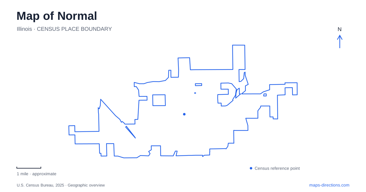
Street tiles load from OpenStreetMap when opened. The blue line shows the 2025 Census boundary.
- State
- Illinois
- Population · July 2025
- 53,275
- Land area
- 18.7 sq mi
- Water area
- 0.1 sq mi
Normal has a compact central district where university life, passenger trains, and a former railroad trail converge. Uptown is the name to look for around the station and the circle, with the Illinois State University campus immediately to its west. Bloomington remains a separate neighboring city, even though local travel often crosses between the two. Keeping those centers distinct helps when choosing accommodation, planning a campus visit, or following the trail network through the wider urban area.
Uptown Circle as a starting point
The central traffic circle joins Beaufort Street, North Street, and Constitution Boulevard. It is also a public space, giving the street network a recognizable focal point. The town adopted the Uptown name for its central business district in 2006 after beginning a broader redevelopment effort in 1999. That effort brought new streetscape work and public buildings into an area that already had established commercial streets.
Two cultural destinations help define the surrounding blocks. The Children's Discovery Museum is at 101 East Beaufort Street. The Normal Theater stands at 209 North Street, where its Art Moderne design recalls the movie house's 1937 opening. The town later restored the theater after its 1990 closure. Seeing the museum and theater as parts of the same central district makes their relationship clearer than plotting them as unrelated attractions across the entire community.
The theater's history also adds depth to the newer Uptown landscape. Its architecture belongs to an earlier generation of entertainment buildings, while the circle and transportation center reflect later public investment. A short exploration of these streets can therefore reveal several periods of town development without requiring a long drive between historic sites.
Trains, buses, and civic offices together
Uptown Station opened in July 2012 at 11 Uptown Circle. It combines passenger transportation functions with municipal offices and council chambers on its upper floors. Amtrak and bus services make this a practical arrival point as well as a local landmark. A search for town offices and a search for the train station can consequently lead to the same building for different reasons.
The railway belongs to the Chicago–St. Louis corridor, while nearby regional highway connections include Interstates 55, 74, and 39. These larger networks explain the town's role as a transportation meeting point. For a local itinerary, however, the station's position beside Uptown is more useful than the interstate diagram: arriving by train places a visitor near the streets, museum, and university rather than at a remote terminal. The individual operator's platform and boarding information should guide the final part of a rail journey.
The campus as a planted landscape
Illinois State University's Quad offers a different spatial experience from the storefront streets east of campus. Its tree collection has roots in Jesse Fell's nineteenth-century landscaping campaign. He secured state funding in 1867, prepared the ground, and began the major planting effort in 1868. The university's arboretum history describes an educational ambition to grow trees suited to central Illinois, making the grounds a living resource as well as an attractive setting.
For someone exploring Normal on foot, the Quad is consequently more than a shortcut between buildings. It offers a way to read the campus through trees, open space, and the arrangement of academic destinations. The Fell Arboretum name refers to a broader university landscape, not simply a detached garden with one entrance. A campus map is useful for pairing the grounds with a particular department or event, because the green space and the appointment address serve different purposes.
A railway reused as Constitution Trail
The Constitution Trail began with the two neighboring municipalities purchasing abandoned Illinois Central railway right-of-way in 1986. Its name commemorates the Constitution's bicentennial, with a dedication in 1987 and the trail's opening in 1989. This origin explains the direct alignments that distinguish parts of the trail from ordinary neighborhood sidewalks.
Underwood Park provides a named trailhead at 900 South Linden Street, near the Brander Shelter. It is one useful starting point for exploring the network beyond Uptown. The trail crosses the municipal relationship between Normal and Bloomington, so a route can continue through both places without changing into an entirely different recreation system. Plan a chosen branch and turnaround rather than assuming every line on the trail map forms one loop.
Route 66 on East Pine Street
Sprague's Super Service adds the early automobile era to this transportation story. William Sprague built the station in 1931 at 305 East Pine Street. The restored property now operates as Ryburn Place, a visitor center and gift shop, following the town's purchase in 2016. Its historical role is distinct from a modern fuel stop.
Together, the Route 66 building, active station, and converted railway trail provide three ways to understand movement through Normal. They also make an itinerary more varied: a preserved roadside business, an operating transport hub, and a recreational corridor each reveal a different relationship between travel and the town that grew around it.
Map and statistics: U.S. Census Bureau, 2025 Gazetteer, January 2025 generalized place boundaries and Vintage 2025 population estimates. Local references: Town of Normal; Illinois State University; National Park Service. Article prepared by Maps & Directions.