Map of Norfolk
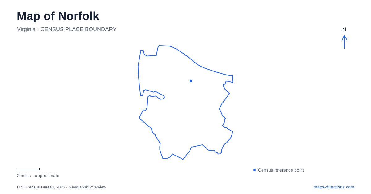
Street tiles load from OpenStreetMap when opened. The blue line shows the 2025 Census boundary.
- State
- Virginia
- Population · July 2025
- 231,013
- Land area
- 53.3 sq mi
- Water area
- 43.1 sq mi
Water gives Norfolk several different faces. The downtown Elizabeth River waterfront combines museums, ships and public gathering spaces, while Ocean View meets the Chesapeake Bay with a long sandy shoreline. Between them are historic neighborhoods, smaller waterways and a garden built beside a reservoir. A city map becomes more useful when these settings are read separately: a riverfront cultural district, a residential landscape and a bay beach each occupy a different part of the same coastal city.
A maritime campus on the river
Nauticus sits on the downtown waterfront, combining a maritime discovery center with sailing activities and the battleship Wisconsin. Its wider campus also includes the Half Moone cruise terminal. This grouping reflects several uses of the Elizabeth River at once: education, recreation, passenger travel and the preservation of a naval vessel. The waterfront is therefore both an exhibition setting and a working edge of the city.
Wisconsin is an Iowa-class battleship commissioned in April 1944. Its service extended from the Second World War through Operation Desert Storm, before decommissioning in 1991. Berthed beside Nauticus, the ship offers an unusually tangible sense of the scale of naval construction. Its hull and decks occupy real waterfront space rather than appearing only as models inside a museum. The ship's long service history also connects the downtown visitor landscape with the broader military history of Hampton Roads.
Following the Elizabeth River Trail
The Elizabeth River Trail provides a land-based way to understand Norfolk's western waterfront. The city's published map traces a 10.5-mile route through eleven sections, linking places such as Harbor Park, Town Point, Freemason, Chelsea, Old Dominion University and Larchmont. The route is more varied than a single promenade: neighborhood streets, parks and waterside segments contribute different settings along its length.
The Freemason section runs from Wisconsin Square across the Brambleton Bridge. Its streets and historic architecture contrast with the larger museum and event spaces nearby. The trail map also identifies a Ghent loop, showing how a walking or cycling route can connect residential and cultural areas without following the shortest possible road journey. Looking at the whole route reveals a chain of districts along the river side of the city, with several places to begin a shorter outing.
Freemason and Ghent on the street map
West Freemason was the first historic district in Norfolk listed in the National Register of Historic Places. The city describes architecture spanning from around 1790 onward. East Freemason includes individually recognized landmarks such as the Moses-Myers House, Willoughby-Baylor House and Freemason Street Baptist Church. These names help distinguish the historic district from a single road carrying the Freemason name.
Ghent and North Ghent represent planned suburban neighborhoods developed around the turn of the twentieth century. Their design reflects City Beautiful and Beaux Arts planning influences. This gives them a different historical framework from the older Freemason buildings: the interest lies partly in the planned relationship between streets, houses and landscape. A neighborhood map can therefore reveal history through the arrangement of blocks as well as through the age of an individual building.
Ocean View's bay shoreline
On the northern side of Norfolk, Ocean View opens onto the Chesapeake Bay. The city identifies more than 7.3 miles of public shoreline here. Community Beach, Sarah Constant Beach and Ocean View Beach are the three named municipal beach parks, with public restrooms at each. Those parks provide recognizable landmarks within a much longer stretch of coast.
Granby Street provides a clear northward reference, reaching Ocean View Beach Park from the downtown direction. The beach landscape is on the bay rather than the Atlantic-facing resort strip farther east in the region. That geographic distinction is more useful than assuming every local beach belongs to the same waterfront. Willoughby Spit and the Little Creek end of the coast frame a shoreline with residential neighborhoods and multiple public accessways, rather than one continuous downtown boardwalk.
A reservoir garden built through public labor
The botanical garden began as an azalea project in 1938. The city supplied wooded land and part of Little Creek Reservoir, and Works Progress Administration funding supported the work. More than 200 African American women and 20 men cleared ground and planted the early gardens. Their labor is central to the site's history, not simply a prelude to its present plant collections.
The WPA Memorial Garden and Kathleen Farrell's Breaking Ground sculpture stand near Mirror Lake, the vicinity of the original project. This landscape adds another kind of water setting to a map of Norfolk: cultivated grounds shaped around reservoir land, rather than a shipping channel or open bay beach. Together, the garden, historic streets and distinct waterfronts explain the city's coastal character through several connected but different places.
Map and statistics: U.S. Census Bureau, 2025 Gazetteer, January 2025 generalized place boundaries and Vintage 2025 population estimates. Local references: Nauticus; City of Norfolk; Elizabeth River Trail Foundation; VisitNorfolk; U.S. Army Corps of Engineers; Norfolk Botanical Garden. Article prepared by Maps & Directions.