Map of Niagara Falls
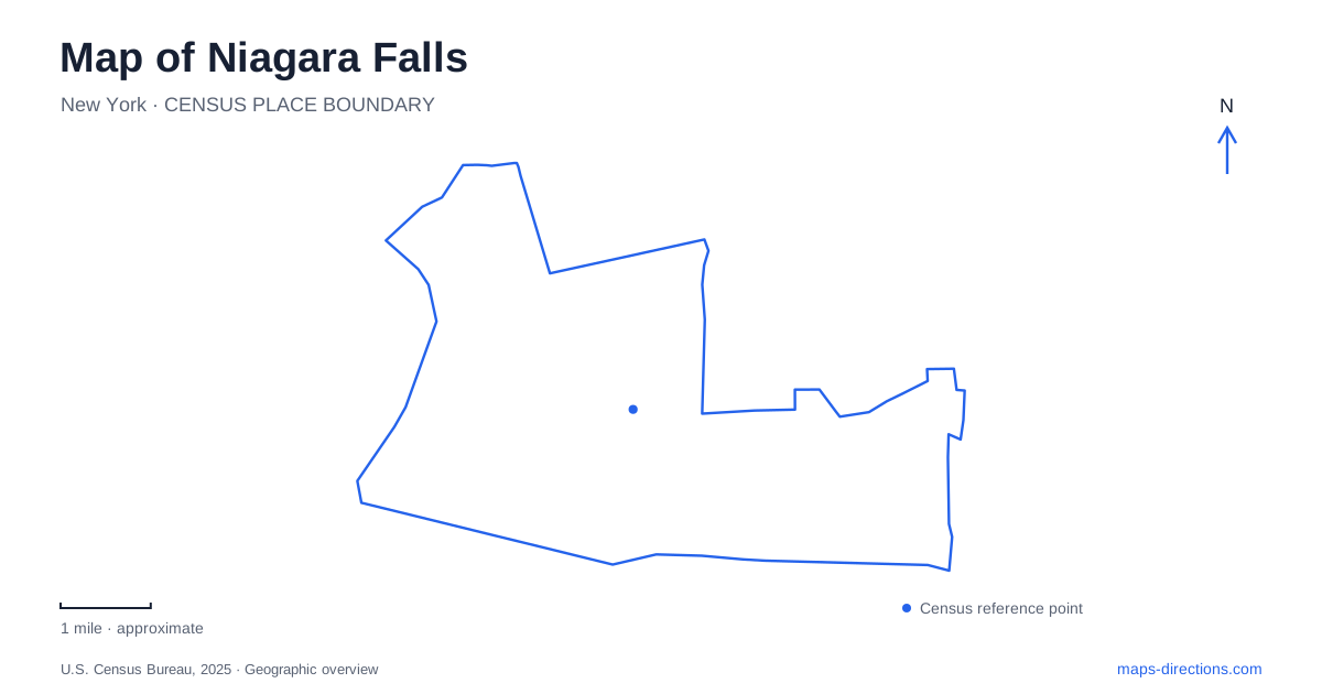
Street tiles load from OpenStreetMap when opened. The blue line shows the 2025 Census boundary.
- State
- New York
- Population · July 2025
- 47,255
- Land area
- 14.1 sq mi
- Water area
- 2.7 sq mi
Niagara Falls, New York, is a city beside a divided river, a group of waterfalls and an international boundary. Those three facts explain most of the important map distinctions. The American Falls, Bridal Veil Falls and Horseshoe Falls are separate cataracts; Goat Island changes how the river and visitor routes fit together; and the opposite shore belongs to Canada. A good overview shows these relationships before narrowing to an individual attraction.
Read the islands before choosing a viewpoint
Goat Island lies among the river channels and provides access to several different viewing areas. The state park map places Terrapin Point toward Horseshoe Falls, Luna Island beside the American and Bridal Veil falls, and the Three Sisters Islands along the rapids upstream. These locations do not present the same view of the water. Moving around the island changes whether the emphasis is on the approach rapids, the brink or the broader waterfall setting.
The smaller islands also explain why pedestrian bridges appear within the park without indicating an international crossing. A bridge to an island in the park and Rainbow Bridge across the gorge have entirely different roles. Read the land labels and bridge names together rather than interpreting every line over water as an equivalent route. The park map distinguishes the vehicle bridge to Goat Island from pedestrian connections, which is particularly useful when deciding where driving ends and walking begins.
Prospect Point and Goat Island serve different attractions
Niagara Falls State Park's parking information associates Prospect Point with the Welcome Center and Maid of the Mist, while its Goat Island lots serve Cave of the Winds and the Three Sisters Islands. This divides the major attractions into practical geographic groups. Someone concentrating on the boat excursion starts from a different part of the park than someone concentrating on the island's upstream rapids.
The observation tower extends over the gorge at Prospect Point, and elevators provide access toward the boat-boarding area below. That vertical relationship matters on a two-dimensional map. Two symbols can appear close together while belonging to the rim and the base of the gorge. Likewise, a viewpoint above the falls and an attraction taking visitors closer to their base represent different levels of the landscape, not simply neighboring stops along a level promenade.
Downtown meets the park at Old Falls Street
The official visitor map places Old Falls Street, the convention center, the culinary institute and the Third Street entertainment area in the downtown setting behind the park. These names provide a useful transition between the waterfall landscape and the urban blocks. The park boundary is not the edge of the city experience: restaurants, events and other destinations occupy the streets leading away from the river.
For a Niagara Falls walking itinerary, distinguish that downtown cluster from the island circuit. They can be considered together as part of a visit, but a route that covers both has to include the connecting streets and bridges. A map centered exclusively on the waterfalls can crop out the very urban landmarks that help explain a hotel or event address. Retaining Old Falls Street and the numbered downtown streets makes the relationship easier to follow.
The gorge continues beyond the waterfall district
Downstream, the river enters the gorge and continues toward the Whirlpool area. New York State Parks places that area roughly two miles north of the Schoellkopf site and Aquarium of Niagara, along Gorgeview and Whirlpool Boulevard. Here the river bends sharply, and the landscape changes from the main waterfall viewing area to a gorge-and-rapids setting.
A Niagara Falls map that includes this northern context reveals why the Whirlpool is a separate outing rather than another platform immediately beside Horseshoe Falls. DeVeaux Woods lies across the roadway from the Whirlpool area, adding a wooded park setting to the river scenery. Rim routes and lower gorge trails also occupy different elevations and have different access conditions. State Parks has posted closures on portions of the lower trail system; the existence of a line on an older trail map should not be read as confirmation that the route is open.
The river is also a national boundary
Rainbow Bridge connects the American and Canadian sides across the gorge. Its presence on a city map should not be confused with the internal park bridges. A route crossing it is an international journey, with border-entry requirements that must be checked separately. A view of the Canadian shore from the American park does not require the same trip as physically traveling to that shore.
For Niagara Falls on the US side, the clearest geographic sequence is downtown, Prospect Point, Goat Island and then the downstream gorge, chosen according to the interests of the visit. Keep the international boundary visible when comparing attractions on both banks. This preserves the distinction between a local walking connection, a change in elevation within the gorge and a crossing into another country—three movements that can look deceptively similar on a small map.
Map and statistics: U.S. Census Bureau, 2025 Gazetteer, January 2025 generalized place boundaries and Vintage 2025 population estimates. Local references: Niagara Falls State Park; New York State Parks. Article prepared by Maps & Directions.