Map of New York
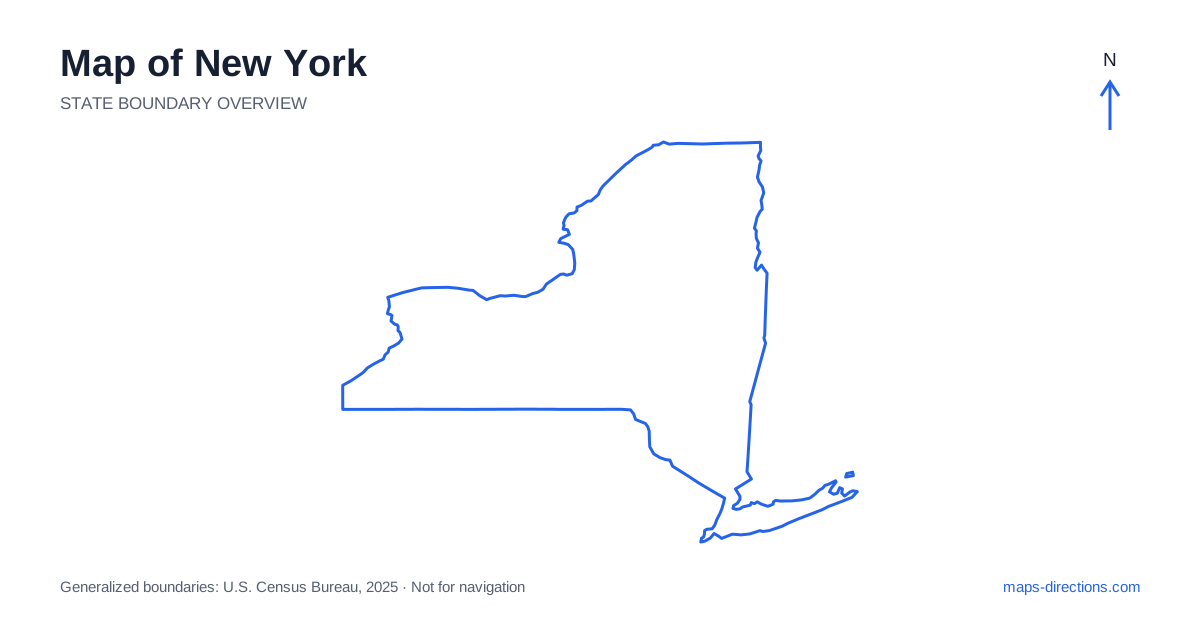
New York extends far beyond the five boroughs of New York City. The state includes the Hudson Valley, two major mountain regions, the Finger Lakes, Great Lakes shorelines and a long Atlantic island. Albany, Syracuse, Rochester and Buffalo help reveal this wider geography, while the southeastern metropolitan area occupies only one corner of it. Begin by locating the actual region of the visit. A map focused on the city cannot explain a northern mountain trip, a western lake journey or the road distances between those different parts of the state.
Separate the metropolitan corner from the statewide picture
The southeastern part of New York contains a large urban network divided by rivers, harbors and bridges. Manhattan, the Bronx, Brooklyn, Queens and Staten Island are distinct boroughs with different approaches. An airport connection, a central-city stay and a visit to another borough should each use a specific arrival point rather than a general metropolitan label.
Long Island extends east from the urban area and includes communities well beyond the city boundary. Its north and south shores have different road and water relationships, while the eastern forks form separate destination areas. A stay described as being on the island is therefore too broad to establish a convenient base. Identify the actual town and shoreline before comparing the route from the airport or a previous overnight stop.
Follow the Hudson Valley toward the capital
The Hudson River forms a strong north-to-south orientation line between the southeastern region and Albany. Communities occupy both sides of the valley, making the chosen bridge important for local travel. A destination visible across the river can require a longer road approach than a place farther away on the same bank.
Albany is the capital and an important junction near the meeting of major regional corridors. Nearby cities such as Troy and Schenectady belong to the wider capital region but have their own local networks. A hotel selected for a through drive can have different advantages from one selected for a downtown visit. Keep the next departure direction in mind, especially when the route continues toward the mountains, the western cities or the neighboring New England states.
Distinguish the Adirondacks from the Catskills
The Adirondacks occupy a large northern region of mountains, forests and lakes. Lake Placid and other communities are reached through particular valleys and regional roads, not through a dense grid covering the entire area. A park boundary on an overview encompasses far more territory than a single entrance or visitor destination can represent.
The Catskills form a separate mountain region west of the Hudson Valley and farther south. A trip there should not be treated as a minor variation on an Adirondack itinerary. Choose the specific town, trailhead or lodging entrance and trace the actual approach. For either mountain region, a line between nearby labels can cross terrain that the road network must go around, making a closer topographic view useful for understanding the route.
Use the central corridor to place the western cities
Interstate 90 and the Thruway corridor provide a major east-to-west framework through the Albany, Syracuse, Rochester and Buffalo regions. The route establishes the broad city relationships, while local approaches connect it to downtown districts and destinations farther from the highway. Rochester, for example, has its own urban access network rather than being represented adequately by a point on the main through corridor.
The Finger Lakes lie south of parts of this central route and are oriented largely north to south. Roads along opposite sides of a lake may not connect directly across its middle. Choose the correct shore and identify the crossing or route around an end of the lake before grouping several stops. A waterside address can be close in appearance to another one while requiring a much longer drive around the intervening water.
Read the western and northern water boundaries
Western New York reaches Lake Erie and the Niagara River, with Buffalo and Niagara Falls providing different urban and visitor reference points. A destination near the international border needs its exact location identified; two places with similar riverfront descriptions may be on different sides. The map should show the intended bank and access route rather than treating the wider falls region as one undivided arrival area.
Farther north, Lake Ontario, the St. Lawrence River and Lake Champlain help define major parts of the state's wider setting. Shoreline and river destinations belong to separate regional networks. A road journey follows bridges and land corridors, not the shortest line across the water. Use the specific town or visitor facility when planning a stay along these boundaries, especially when the trip combines urban stops with quieter waterfront areas.
Choose a regional sequence before adding distant stops
A southeastern city-and-island visit, a Hudson Valley trip, an Adirondack stay, a Finger Lakes circuit and a western-city journey each provide a coherent starting plan. Combining them can create a substantial route, so overnight locations should follow the intended progression. Repeatedly returning to the southeastern corner can turn otherwise sensible regional visits into unnecessary long transfers.
For a New York itinerary, keep the selected borough, riverbank, lakeshore or mountain town attached to every destination. The statewide outline makes the breadth of the state visible, while local maps explain its final approaches. Reading both scales together prevents one famous city from standing in for the whole state and helps connect its very different landscapes through the roads that actually serve them.