Map of New York City
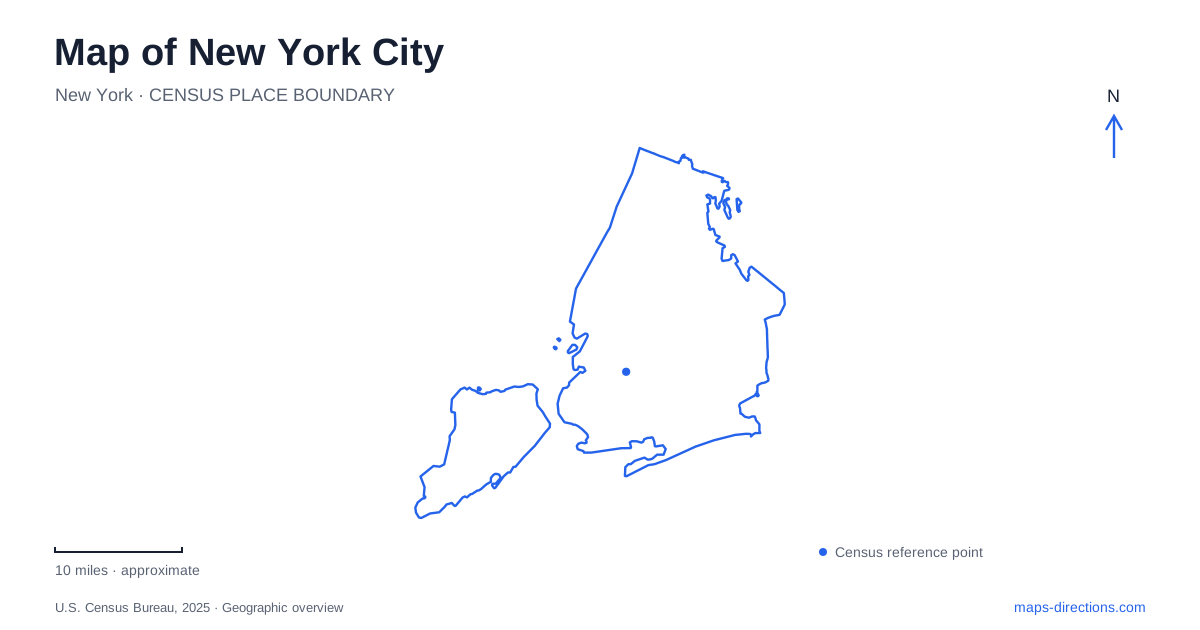
Street tiles load from OpenStreetMap when opened. The blue line shows the 2025 Census boundary.
- State
- New York
- Population · July 2025
- 8,584,629
- Land area
- 300.5 sq mi
- Water area
- 171.9 sq mi
A map of New York City becomes easier to use when the borough comes before the street address. Manhattan, Brooklyn, Queens, the Bronx and Staten Island belong to one municipality, but they are not interchangeable search areas. Water crossings, separate street systems and different approaches to the harbor make a citywide view useful before zooming into a single block. The outline above establishes the wider setting; a street map supplies the detail needed to choose an entrance, a bridge approach or a ferry departure point.
Five boroughs, several meanings of a place name
Official records can introduce a second set of names. Brooklyn is Kings County, Manhattan is New York County and Staten Island is Richmond County. The Bronx and Queens have corresponding county names. This matters when comparing a property record, an administrative map and a visitor address: different labels may refer to the same borough, rather than to competing destinations. A county label should not be treated as an extra neighborhood or a reason to move the pin.
Keep the full borough in an address search whenever a street name seems ambiguous. A result labeled only with the state name provides less reassurance than one whose surrounding streets and borough match the destination. Community-board maps offer another administrative layer, but a district boundary is not a physical barrier. Use those maps for jurisdiction questions, then return to the street network for movement. This distinction is especially useful when a neighborhood name covers an area rather than one precise arrival point.
Read the crossings before the distance
New York City is a connected network of boroughs, not a continuous downtown street grid. The East River crossings are particularly important when comparing Manhattan with Brooklyn or Queens. The Manhattan Bridge connects Chinatown with Downtown Brooklyn; selecting that crossing places the trip at particular ends of both boroughs. A different bridge can produce a substantially different approach even when the two destinations appear close on a small map.
The Brooklyn–Queens Expressway is part of I-278. Its regional role joins travel through Brooklyn with connections toward Queens and the Bronx on one side, and Staten Island and New Jersey on the other. On a crowded map, distinguish an expressway line from adjacent local streets. A building beside the highway is not necessarily reachable from the nearest visible ramp. Follow the exit and the final street connection as separate steps rather than assuming that closeness to the highway proves direct access.
Manhattan's labels need a second look
A borough-scale map exposes a recognizable set of north–south avenues and numbered cross streets, while lower Manhattan includes names such as Houston, Canal and Chambers. That change in naming is a useful cue to stop relying on a numbered-grid expectation. At a detailed zoom, compare the actual intersection with the destination address instead of projecting an avenue or cross street through an unfamiliar area.
For a first visit to New York City, orienting a route by both a street and a nearby crossing is more useful than remembering only an icon. The FDR Drive and the streets beside it illustrate why a road along the edge of a borough can be a different level of the network from the block containing an entrance. A road map communicates connections; it does not establish that every visually adjacent line allows a turn or a pedestrian crossing.
Liberty Island is a departure-point problem
The Statue of Liberty creates an unusually clear example of the difference between a landmark pin and an arrival point. The National Park Service identifies ferry departures at The Battery in lower Manhattan and at Liberty State Park in Jersey City, New Jersey. The island itself cannot be the endpoint of an ordinary driving route. Decide which mainland departure is intended before asking for directions, especially when an itinerary already places you on one side of the Hudson.
For the Manhattan departure, the park service supplies 1 Battery Place as a driving reference and recommends public transportation where possible. That address is a starting point for reaching the departure area, not a promise of a dedicated parking space. The Jersey City departure has a different address and approach. Mixing those two departure points can create a much larger mistake than choosing the wrong nearby street, so preserve the departure name with the booking details.
Build an itinerary around connected areas
When arranging several stops in New York City, first group them by borough, then examine which crossings connect the groups. This is a planning method rather than a claim that one fixed itinerary is fastest. A museum, a waterfront meeting and a harbor departure may each require a different level of map detail. Review the broad connections first, the neighborhood streets second and the exact public entrance last.
A useful final check for New York City therefore has three parts: the correct borough, the correct side of any water crossing and the correct arrival point. Keep these details with the full address instead of saving only a place name. The resulting plan remains understandable even when a route is recalculated, because its essential geography is explicit rather than hidden inside a sequence of turns.
Map and statistics: U.S. Census Bureau, 2025 Gazetteer, January 2025 generalized place boundaries and Vintage 2025 population estimates. Local references: NYC 311; City of New York; NYC Department of Transportation; National Park Service. Article prepared by Maps & Directions.