Map of New Rochelle
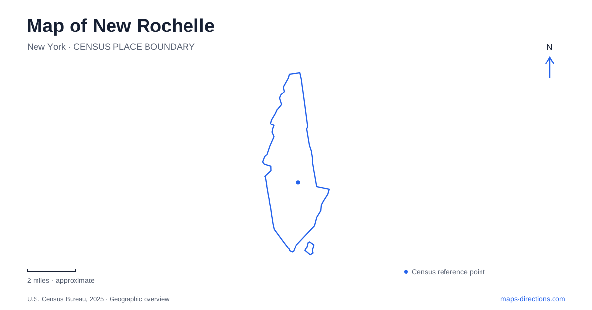
Street tiles load from OpenStreetMap when opened. The blue line shows the 2025 Census boundary.
- State
- New York
- Population · July 2025
- 85,864
- Land area
- 10.3 sq mi
- Water area
- 2.9 sq mi
New Rochelle combines a rail-centered downtown with a shoreline broken into distinct parks and island settings. Those two landscapes need different map-reading habits. Downtown rewards attention to named cross streets, station plazas and individual buildings; the waterfront requires attention to access roads and the type of bridge connecting each place. A label near the water does not necessarily identify a continuous public route along the coast, and a station label does not settle which side of the tracks a traveler needs.
Main Street, Huguenot Street and North Avenue
The municipal comprehensive plan identifies Main Street and Huguenot Street as important parts of the downtown Route 1 corridor, with North Avenue providing another major local connection. These names offer a useful framework for locating downtown destinations. The plan also discusses proposed circulation changes, so it should be used to understand the street pattern rather than as a current turn-by-turn instruction sheet.
For a New Rochelle downtown appointment, compare the building address with its nearest cross street. A broad Route 1 reference may explain how to reach the general area but not which local approach serves the entrance. When an older map and a navigation application disagree about permitted movement, check current signs and official street information instead of treating the historical planning diagram as definitive.
The station has more than one surrounding reference
The city identifies the train station at 24 Station Plaza North. Its planning material also describes Station Plaza South and the railway right-of-way separating the transit center from parts of the downtown development area. These names are useful because the tracks form a real division in the local layout, even when all the surrounding destinations fit into a small map view.
Before meeting a passenger, establish the particular plaza or facility involved. “At the station” may be enough to select the right transportation hub but too vague for a pickup or pedestrian meeting. Rail service information and the final street approach answer different questions. Keep the directional word in the plaza name when communicating the location so that both people use the same side of the station setting.
A library green belongs to the urban core
Ruby Dee Park at Library Green lies beside the public library, bounded by Lawton Street, Memorial Highway and Huguenot Street. This gives a recognizable downtown open space a specific street frame. It is useful for orienting a short walk between central destinations, but it should not be confused with the coastal parks farther out in the city's recreation system.
The New Rochelle parks directory also locates Huguenot Park at North Avenue and Eastchester Road, in front of the high school. The repeated Huguenot name can therefore describe a downtown street or a separate park setting. Retain the second reference—either the park name and intersection or the downtown building address—so that a familiar local word does not become an ambiguous destination.
Hudson Park is on the Sound
Despite its name, Hudson Park is identified by the city as a waterfront park on Long Island Sound. The recreation directory places it on Hudson Park Road and lists beaches, a bandshell and other park facilities. This is a useful geographical correction for anyone who might infer the Hudson River from the name alone.
For a New Rochelle shoreline outing, start with the particular park rather than searching simply for waterfront. The coast contains several named destinations with different approaches. Within Hudson Park itself, a beach visit and a performance at the bandshell may require different meeting references. Let the chosen activity determine the final pin, and check the relevant access arrangements rather than assuming every part of a waterfront park operates identically.
Islands do not all use the same kind of connection
Five Islands Park is listed on LeFevre Lane. The city's description identifies a pedestrian bridge linking Big and Little Harrison islands with the main Oakwood Island. That is a walking connection, not evidence that a vehicle can be routed from one island to another. The park name describes the wider setting, while the street address identifies the initial land approach.
Glen Island is a different destination. The county's park map identifies a drawbridge access road along with separate picnic areas, parking, beach and other facilities. Do not substitute this approach for the pedestrian connection at Five Islands simply because both places involve islands. The type of crossing is an essential part of understanding the map, especially when deciding where a driving journey ends and a walking visit begins.
Keep the rail and shoreline plans distinct
A useful New Rochelle map preserves the downtown street framework, the two station-plaza references and the individual waterfront parks. These details support different tasks: reaching a building, meeting a rail passenger or arriving at a particular coastal facility. Identify the task first, then select the appropriate entrance or crossing. That approach gives the map a practical purpose without allowing closely spaced labels or recurring local names to conceal different destinations.
Map and statistics: U.S. Census Bureau, 2025 Gazetteer, January 2025 generalized place boundaries and Vintage 2025 population estimates. Local references: City of New Rochelle; City of New Rochelle / New York DEC; Westchester County. Article prepared by Maps & Directions.