Map of New Mexico
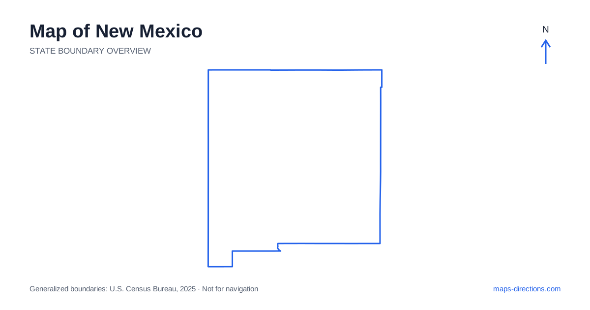
New Mexico combines elevated desert basins, mountain ranges, river valleys and broad plains. Albuquerque, Santa Fe, Las Cruces and Roswell provide useful regional anchors, but they do not form one compact travel area. The Rio Grande corridor helps organize the center, while the northwest, northeast and southeast each have different road relationships. Start by identifying the terrain and region surrounding the intended destination. That approach is more useful than assuming every journey crosses a uniform desert or that a straight line on the statewide outline represents an easy road connection.
Use the borders to establish the wider setting
New Mexico lies between Arizona on the west and Texas and Oklahoma along its eastern side, with Colorado to the north and Mexico to the south. At Four Corners, its northwestern corner meets Utah at a single point. The broad outline is relatively simple, but the interior contains mountains and valleys that complicate direct travel between nearby-looking destinations.
The landscape also changes with elevation. A city on a high plateau or near a mountain range should not be treated as having the same environment as a southern desert basin. Use a terrain view when selecting the regional approach, especially if a route crosses a pass. The boundary map establishes location; it does not show which smaller roads are suitable or available for the intended vehicle and date.
Follow the Rio Grande through the central corridor
Albuquerque occupies the central Rio Grande corridor, with the Sandia Mountains rising to its east. That relationship helps explain why an address on the valley floor and a destination beyond the mountains can require very different approaches. The city is also a major junction where Interstate 25 and Interstate 40 meet, making it a useful reference for statewide orientation.
Santa Fe, the capital, lies northeast of Albuquerque and has its own urban and mountain-edge setting. Taos is farther north in another distinct region. A plan involving all three should show the actual connecting roads and overnight stops rather than treating them as adjacent districts. For local visits, choose the precise entrance or neighborhood before asking for a route, particularly when the destination lies outside a town center.
Read the highways as corridors with different purposes
A road map of New Mexico shows Interstate 40 crossing the state through Gallup, Albuquerque and the Tucumcari region. Interstate 25 provides a major north-to-south connection through the central corridor, while Interstate 10 serves the far south through the Las Cruces and Deming regions. These highways organize different journeys and should not be treated as nearby parallel alternatives.
A stop away from a main corridor needs its full approach and return connection shown. This matters for scenic valleys, archaeological sites and mountain communities that appear close to a highway on a statewide view. A minor-looking detour can become a substantial local stage. Trace the route to the actual public arrival point rather than to the center of a broad landscape feature or protected area.
Distinguish the northwestern and northern landscapes
Farmington and the surrounding Four Corners region lie in the northwest, with a road pattern different from the Rio Grande cities. Gallup occupies another western corridor along Interstate 40. These towns can serve as regional reference points, but the specific destination determines which base and approach make sense. A shared northern or western label is not enough to connect them efficiently.
The northern mountains around the Santa Fe and Taos regions add valleys, passes and smaller roads to the map. A scenic loop should be planned around those actual connections, not closed by an imagined shortcut over a ridge. Some rural or cultural destinations also have particular visitor access arrangements. Use the named entrance and appropriate public route rather than assuming every line visible through the surrounding landscape is a usable approach.
Give the south and southeast separate identities
Southern New Mexico includes Las Cruces in the Rio Grande valley and Alamogordo beside the Tularosa Basin, with mountain ranges separating parts of their surrounding landscapes. White Sands belongs to this southern region and needs a specific visitor entrance. It should not be represented by an arbitrary point somewhere inside the broad light-colored area shown on a satellite or terrain map.
Roswell and Carlsbad lie farther east in a different set of corridors. A visit to the Carlsbad Caverns area requires its own approach from the surrounding road network, not merely arrival in the nearest city. Combining southern and southeastern destinations can form a coherent route, but the connecting stage should remain visible. Their shared desert association does not mean they sit next to one another or share the same practical base.
Organize travel around the actual landscape transition
A central-city and northern-mountain itinerary, a northwestern cultural trip, an east-to-west interstate journey and a southern desert visit each provide a useful starting focus. Add another region only after the road connection and overnight sequence are clear. This prevents an appealing collection of distant places from becoming a route dominated by repeated crossings of the same interior.
For a New Mexico journey, keep the correct valley, mountain approach or visitor entrance attached to each stop. Use the statewide outline for orientation and a closer terrain-and-road view for the final access. The map becomes more practical when the differences between plateaus, basins, plains and urban corridors stay visible. Those relationships explain the travel pattern more accurately than a simple desert label or the apparent straightness of the state boundary.