Map of New Jersey
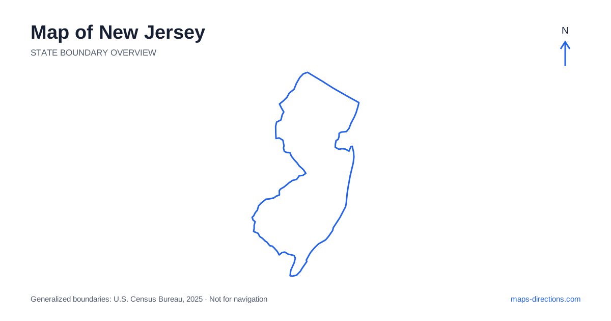
New Jersey occupies a narrow but geographically varied position between the New York and Philadelphia metropolitan regions. Its map includes densely settled northeastern cities, inland hills, a central corridor, the Pine Barrens and a long Atlantic shore. Newark, Trenton, Camden and Atlantic City help orient different parts of that pattern. The state can look like a simple connecting strip on a regional map, but rivers, bays and urban networks create very different local journeys. Start with the actual destination region before deciding which through route or crossing belongs in the plan.
Read the northeastern cities as separate arrival areas
Northeastern New Jersey includes Newark, Jersey City, Hoboken and numerous surrounding communities. The Hudson River separates part of this region from Manhattan, while other waterways and major transport corridors divide local approaches. A destination described by the wider metropolitan area may therefore lie across a river or beyond a different highway connection from the one first suggested by its city label.
Use the full address when choosing a bridge, tunnel or local approach. An airport transfer, a waterfront visit and a suburban stay are different map tasks even when their destinations appear close on the regional overview. For a journey continuing south, the exact side of the urban network also matters. A metropolitan name provides orientation, but it should not replace the specific entrance or neighborhood used for arrival.
Place the capital and the central corridor
Trenton, the state capital, lies on the Delaware River in the west-central region. Princeton occupies a separate inland setting farther northeast, while New Brunswick and other central communities lie along a busy urban corridor. These destinations are connected regionally but should not be treated as interchangeable stops at a single highway exit.
The Turnpike and other major routes establish long-distance connections through the state, while local highways and streets serve the actual towns. A through road may bypass the center you intend to visit. Identify the relevant interchange and the final approach before deciding how easily a stop fits into a north-to-south journey. This is particularly important for campuses, event venues and offices whose address may be more precise than the nearest city label.
Follow the western river boundary
The Delaware River shapes much of western New Jersey and creates connections with Pennsylvania at specific crossings. Camden faces Philadelphia across the river in the southwest, while the northern river region has a different, more wooded and hilly setting. A riverfront description does not make those two areas one continuous local travel district.
For a cross-border trip, choose the actual bridge before comparing routes. The nearest-looking point on the opposite bank may not have a convenient road connection. In the Delaware Water Gap area, terrain adds another layer to the river geography, with roads and recreation access concentrated in particular corridors. A scenic feature or broad park label should be replaced with a named visitor entrance when building the final route.
Distinguish inland hills from the coastal plain
The northwestern interior includes hills, lakes and smaller towns, creating a road pattern unlike the dense northeastern urban network. Morristown and communities farther northwest provide useful reference points for different inland areas. A rural destination may sit outside the town center on a road that curves around water or higher ground rather than continuing along a straight grid.
Farther south, the Pine Barrens occupy a broad part of the coastal plain. The region is not an empty shortcut between cities: roads vary in their role and surface, and a line through forested land does not establish suitability for every vehicle. Select the named public access point or town serving the visit. Keep local forest-road detail separate from the major highway corridor used to reach the region.
Read the Atlantic shore through inlets and islands
The New Jersey shore includes mainland communities, barrier islands, bays and inlets, with different road approaches along its length. Atlantic City and Cape May anchor distinct southern destinations, while the northern and central shore towns have their own local patterns. A booking described simply as being at the shore is too broad to establish the final drive.
The Garden State Parkway supplies an important north-to-south framework for many coastal journeys, but the last leg often runs east along a separate local road or across a bridge. Locate the exact beach town, accommodation and parking entrance. Two places that look close across an inlet may require a return inland to the next crossing. The coastline should therefore be read as connected local regions rather than one uninterrupted waterfront road.
Match the route to the kind of destination
A northeastern metropolitan stay, a central-city visit, a western river trip and a southern shore itinerary each have a different geographical focus. A practical plan chooses that focus first, then adds stops connected by the actual road network. This prevents a short regional map from hiding repeated crossings of urban areas, rivers or coastal bays.
For a New Jersey journey, keep bridges and final approaches visible alongside the main through route. Pair the state outline with a local map of the correct riverbank, shore town or inland entrance. The narrow shape makes the state easy to place between its neighbors, but the useful travel detail comes from understanding the varied landscapes and access patterns within that shape.