Map of New Hampshire
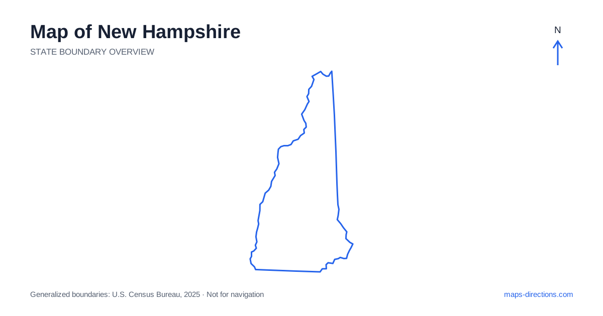
New Hampshire has a broad southern base and a narrowing northern extension, with a short Atlantic coastline in the southeast. Manchester, Nashua and Concord orient the southern and central urban corridor, while the lakes and White Mountains shape travel farther north. Portsmouth belongs to a separate seacoast setting, and the far northern towns occupy another scale again. A useful map distinguishes those regions before connecting them into a trip. The state's compact outline should not hide the difference between a city transfer, a mountain approach and a lake-shore drive.
Locate the seacoast without overstating its size
The New Hampshire coastline is short compared with those of its neighbors, but it includes distinct towns, river mouths and local access points. Portsmouth sits near the mouth of the Piscataqua River, while Hampton and other coastal communities occupy different positions farther south. A destination on the coast should be identified by its actual town and entrance rather than a general shoreline label.
Interstate 95 crosses this southeastern corner and provides a major regional connection along the broader Atlantic corridor. It does not explain the road pattern of the whole state. A journey inland toward the capital or mountains requires another route. Keep the change from coastal highway travel to the interior network visible instead of assuming that the road passing nearest the shoreline also serves every northern destination conveniently.
Follow the Merrimack Valley cities
Nashua, Manchester and Concord form useful reference points along the southern and central interior. Concord is the state capital, while Manchester occupies a larger urban setting farther south. The Merrimack River helps organize this region, and highways connect the cities without replacing the need for a detailed local arrival map.
A destination on one side of the river may need a particular bridge even when it appears close to another point across the water. This matters for downtown visits, event venues and suburban addresses. For an onward trip north, choose an overnight base according to the next stage as well as the first arrival. A city-center stay and a highway-side transfer stop have different geographical advantages, which a single metropolitan pin cannot describe.
Distinguish the lakes from the mountain corridors
Central New Hampshire includes the Lakes Region, where Lake Winnipesaukee is a prominent feature but not a single road destination. Laconia and the surrounding towns occupy different positions around the water. A property on one shore can have a much longer road connection to an attraction on another shore than the straight-line distance across the lake suggests.
Identify the exact bay, village and access road before grouping lakeside stops. The route around the water may form a pleasant regional circuit, but it still takes real travel time and may involve returning along part of the same road. If the trip continues into the mountains, treat that as a separate transition. A lake base is not automatically close to every trailhead or pass farther north.
Read the White Mountains through their notches and valleys
The White Mountains contain rugged terrain that concentrates road travel in particular valleys and mountain gaps. Lincoln, Franconia and North Conway orient different approaches rather than one small mountain town cluster. Interstate 93 follows a major northbound corridor through the region, while other roads establish separate connections across and around the ranges.
A scenic route between valleys should be traced from end to end before it is added to a transfer day. A mountain summit, broad forest label or park boundary does not identify the actual visitor access. Choose the named trailhead, parking area or road entrance. Terrain explains why the route takes a particular shape; current conditions and access arrangements determine whether that route suits the intended date and vehicle.
Give the western river towns and far north their own place
Western New Hampshire meets Vermont along the Connecticut River, with communities such as Hanover and Lebanon serving a distinct regional network. A destination across the river requires a specific bridge and may belong to the neighboring state despite sharing a local metropolitan description. Keep the full address and intended crossing together when planning the approach.
Farther north, the state narrows toward the Canadian border, and towns such as Lancaster and Colebrook sit beyond the main southern urban region. A map focused on the seacoast or capital can make this northern extension seem minor. Show the full outline when considering a trip there, then identify the actual road corridor and overnight base. The added northern stage should not disappear inside a generic mountains itinerary.
Connect regions in a sensible order
A seacoast visit, a southern-city stay, a lakeside trip and a White Mountains itinerary each provide a coherent starting focus. Combining them works best when the route progresses between regions instead of repeatedly returning to one southern base. The western river towns and far north can be added deliberately once their connections are clear.
For a New Hampshire journey, keep the chosen riverbank, lakeshore or mountain valley attached to every stop. Use the statewide map for orientation and a closer view for the final entrance or crossing. This makes the state's changing shape and terrain useful to the plan, rather than decorative background. The result is a sequence of actual road connections suited to the distinct regions the trip is meant to explore.