Map of New Braunfels
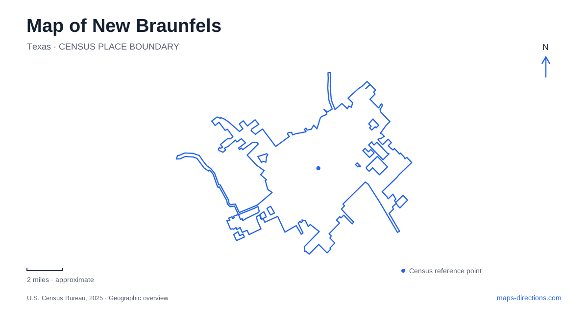
Street tiles load from OpenStreetMap when opened. The blue line shows the 2025 Census boundary.
- State
- Texas
- Population · July 2025
- 122,492
- Land area
- 45.1 sq mi
- Water area
- 0.4 sq mi
New Braunfels has two rivers and more than one historic center, so a map becomes useful when it keeps those differences visible. The Comal organizes the spring landscape and several central recreation areas. The Guadalupe provides a separate river corridor associated with Gruene and Cypress Bend. Downtown has its own street pattern around Main Plaza. These places contribute to the same city's identity, but they are not interchangeable answers to a search for a river park, a historic district, or a place to begin a walk.
Main Plaza and the streets radiating from it
Main Plaza is a useful starting point for reading downtown New Braunfels. The municipal downtown action plan identifies commercial activity along West San Antonio Street, South Seguin Avenue, and East San Antonio Street. The plaza helps relate these different approaches to one another. It is more informative to locate a destination on one of those streets than to stop at the general downtown label.
West San Antonio and Castell form one recognizable commercial pocket, while the other approaches extend the downtown experience in different directions. This pattern helps explain why two businesses advertised as downtown may call for different arrival points. A map centered tightly on the plaza can show the relationship between them without suggesting that the plaza itself is the destination for every visit.
Downtown and Gruene should also remain separate on an itinerary. The city's planning documents describe both as walkable settings, but identify downtown as a broader civic and everyday business center. Gruene's appeal comes from a more concentrated historic district. Combining them can make sense, provided the plan includes the movement between two districts rather than imagining one uninterrupted historic shopping street.
Follow the Comal from the spring landscape
Landa Park brings the Comal Springs landscape into a developed recreation setting. Its official park address is 164 Landa Park Drive; the parks administrative office uses 110 Golf Course Road. Those are distinct destinations within the broader park surroundings. The park includes an arboretum, walking routes, a miniature train, the aquatic complex, and the Wurstfest grounds, which give the large park label several different meanings depending on the visit.
The spring landscape is central to understanding New Braunfels rather than simply an attractive background. Landa Park developed from private grounds owned by the Landa family, and railroad spurs brought visitors there by the end of the nineteenth century. The combination of natural springs and recreation has a long history. Reading the park as a collection of destinations helps make sense of that mixture of water, gathering places, and specialized facilities.
Hinman Island Park sits along the Comal between Landa Park and Prince Solms Park. Its location on Hinman Island Drive provides an intermediate reference when following this corridor on a map. Walking paths, pedestrian bridges, picnic space, and river access distinguish it from the larger collection of attractions at Landa. Prince Solms belongs to the same river recreation geography, but its name identifies another park rather than a second entrance label for Hinman Island.
For a visit focused on the Comal, keeping these three park names in sequence is more useful than collecting an undifferentiated list of river attractions. It lets the map show how the central spring landscape relates to the downstream recreation areas.
Gruene and Cypress Bend belong to the Guadalupe
Gruene's historic district sits along the Guadalupe and preserves an industrial and commercial settlement landscape. The city identifies early mercantile and cotton gin buildings alongside Victorian cottages and fachwerk construction. That mixture explains why its historic character differs from a park centered on springs. A New Braunfels itinerary organized around architecture or former commercial uses can treat Gruene as a distinct subject, rather than as an optional extension of a tubing stop.
Cypress Bend Park is another Guadalupe reference, at 503 Peace Avenue. Its riverfront setting includes open space, a pavilion, picnic areas, and a playground. On a map, the Peace Avenue address separates this park from the Comal parks described above. Choosing it changes both the road destination and the river being visited.
The most useful first decision for a river outing in New Braunfels is therefore which waterway and which named place the outing concerns. Landa, Hinman Island, and Prince Solms establish one group around the Comal. Gruene and Cypress Bend establish different destinations along the Guadalupe. With that distinction settled, downtown's plaza and streets can be added as a separate urban stop, producing an itinerary based on actual local geography rather than several similar sounding river searches.
Map and statistics: U.S. Census Bureau, 2025 Gazetteer, January 2025 generalized place boundaries and Vintage 2025 population estimates. Local references: City of New Braunfels. Article prepared by Maps & Directions.