Map of New Berlin
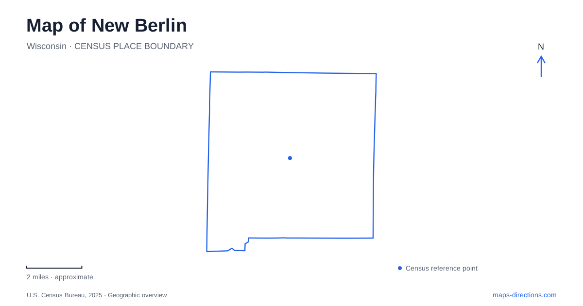
Street tiles load from OpenStreetMap when opened. The blue line shows the 2025 Census boundary.
- State
- Wisconsin
- Population · July 2025
- 39,953
- Land area
- 36.4 sq mi
- Water area
- 0.4 sq mi
New Berlin's modern suburban landscape contains several older centers of activity. National Avenue links the historical setting of Prospect Hill near Racine Avenue with another early commercial node near Calhoun Road. Farmland, homes, churches and small businesses preceded the city government established in 1959. Reading these places together explains why the community's history is distributed among intersections and preserved properties rather than concentrated in a single conventional downtown.
Two early commercial centers
The municipal history identifies Prospect Hill and the center near National Avenue and Calhoun Road as commerce hubs in a predominantly agricultural community. The township had originally been called Mentor before its name changed in 1840. These older names and nodes belong to an earlier administrative and economic landscape, even though their roads remain useful reference points today.
On a map of New Berlin, Prospect Hill is especially important because several historic properties survive close together. Their arrangement records a settlement with religious, educational and agricultural functions. The later city incorporated a much wider landscape, so the historical district should be understood as one of its formative places rather than as the entire origin of every neighborhood.
How the historical park took shape
The city purchased the 3.5-acre Sprengel property in 1970. The historical society restored buildings, moved a local log house to the grounds and preserved an 1863 schoolhouse. It also rescued the childhood home of suffrage leader Theodora Winton Youmans. The park consequently brings together structures with different origins and preservation histories.
The museum at 19885 National Avenue occupies a former fire station, renovated and expanded in 2020. Its reuse adds another layer to the site: a building once associated with emergency services now helps interpret the community. The park's houses, school and museum should not be mistaken for an unchanged group of buildings that all performed their present roles at the same time. The preservation effort itself shaped their current arrangement.
An orchard across the street
The Prospect Hill setting extends across National Avenue to the former Freewill Baptist church and the Weston antique orchard. The church building dates to 1859. The orchard's bank barn was constructed in 1906 with a fieldstone lower level and a timber frame above. Its successive uses included agricultural storage, a metalworking business and, later, an apple cooler and storage for orchard machinery.
That history makes the barn more than a scenic remnant. It shows how a small property could shift among farming and manufacturing activities. The Weston family donated the property to the city in 2004 while retaining operating rights for the orchard. In New Berlin, this landscape combines preservation with continuing horticultural use, rather than presenting every historic agricultural building as an empty exhibit.
A congregation before its church building
The Cheney-Faulkner-Cooper House stands at 5810 South Racine Avenue on the southern side of Prospect Hill. Municipal landmark research places the beginnings of the area's Freewill Baptist congregation and the forerunner of its school in this domestic setting. Rufus Cheney settled there in 1837, and neighbors organized the congregation in his parlor in 1840.
Meetings later used a schoolhouse before construction of the dedicated church in 1858–59. This sequence gives the landmarks a geographical relationship: house, school and church represent stages in the growth of community institutions. The surviving church's construction date therefore is not the congregation's founding date. A map locating both properties can make that distinction visible without assuming the private dwelling operates as a public museum.
The recreation corridor beyond Prospect Hill
The New Berlin Trail follows a utility right-of-way through the municipality toward Waukesha. The county describes it as a seven-mile linear recreation route. Its elongated shape belongs to a transportation and utility corridor, a different kind of landscape from the clustered historic properties at Prospect Hill.
The trail is useful for understanding regional connections, but its full mapped line should not be treated as a guarantee of uninterrupted travel. Highway work near Les Paul Parkway has affected the western connection. Check the transportation department's trail guidance for the crossing near the road project rather than assuming that a regional route drawing establishes uninterrupted access.
A separate county rehabilitation project addresses the segment between Lincoln Avenue and Springdale Road, including drainage problems east of the parkway. County rehabilitation planning for this segment is separate from the highway-related work. These are distinct subjects: the trail's relationship to a highway crossing and improvements to its own surface and drainage.
A map of New Berlin becomes clearer when these scales stay separate. National Avenue's settlement nodes explain early community life; preserved buildings and the orchard show specific properties and changing uses; the regional trail follows a much longer corridor whose current access depends on individual segments. Together they connect the agricultural past with the present city's roads and public spaces.
Map and statistics: U.S. Census Bureau, 2025 Gazetteer, January 2025 generalized place boundaries and Vintage 2025 population estimates. Local references: City of New Berlin; New Berlin Historical Society; Waukesha County; Wisconsin DOT. Article prepared by Maps & Directions.