Map of New Bedford
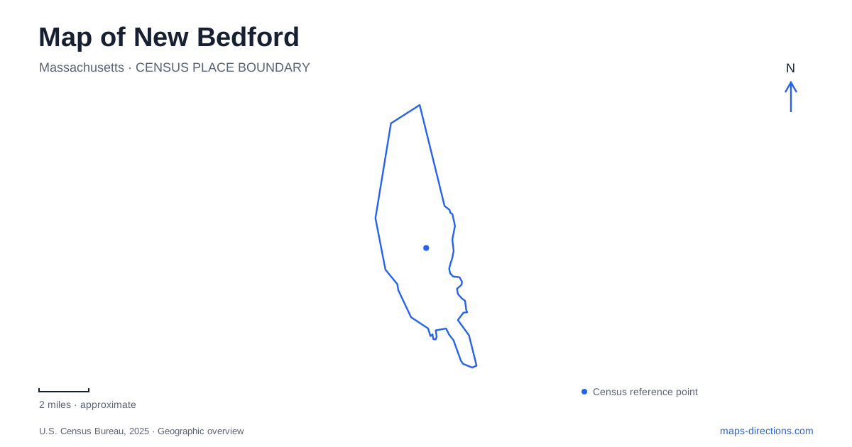
Street tiles load from OpenStreetMap when opened. The blue line shows the 2025 Census boundary.
- State
- Massachusetts
- Population · July 2025
- 101,834
- Land area
- 20.0 sq mi
- Water area
- 4.1 sq mi
New Bedford's historic center faces a working harbor, but its most useful map extends beyond the waterfront blocks. Johnny Cake Hill concentrates maritime landmarks, Seventh Street preserves an important place in the history of freedom from slavery, and County Street introduces the domestic landscape of whaling wealth. Farther away, Buttonwood Park and the southern peninsula offer different kinds of open space. These areas reveal several overlapping cities: a port, a commercial center, a place of refuge, and a coastal community.
Johnny Cake Hill and the maritime streets
The National Park Service visitor center at 33 William Street provides a central reference for the historic district. From that setting, Johnny Cake Hill identifies a compact group of maritime destinations. The Whaling Museum uses 18 Johnny Cake Hill, while Seamen's Bethel and the Mariners' Home are at number 15. The close grouping brings together historical interpretation and the institutions that supported people working at sea.
Other buildings explain the shore-based economy behind the voyages. The U.S. Custom House stands at 37 North Second Street; built in 1836, it served the port's trade. Rodman Candleworks at 72 North Water Street represents an industrial use connected with the whaling business. These places show why New Bedford's maritime history is not confined to ships and docks. Customs administration, manufacturing, lodging, and religious life all occupied the streets behind the harbor.
A walk organized around William Street, Johnny Cake Hill, and North Water Street therefore follows different functions within a small district. The individual buildings become easier to interpret when their relationship to the port is kept in view.
Seventh Street and the Johnson household
At 21 Seventh Street, the Nathan and Polly Johnson House tells a different story from the commercial waterfront. The Johnsons were prosperous Black entrepreneurs and active participants in the antislavery movement. Their home provided the first free home for Frederick and Anna Douglass after Frederick's escape from slavery in 1838.
The National Park Service places the house east of County Street, in a neighborhood behind the larger mansions. That relationship is historically meaningful. It locates a community of Black residents and activists within the same city whose wealthy households benefited from maritime commerce. The house is also associated with assistance to other people escaping slavery, broadening its significance beyond one famous visitor.
For New Bedford, this site changes the meaning of a downtown history route. Moving inland from the whaling landmarks to Seventh Street introduces the people and networks that made the port a place of refuge. The transition is geographical as well as thematic, connecting the harbor economy with the residential streets where abolitionist work occurred.
County Street and the larger household landscape
The Rotch-Jones-Duff House and Garden Museum at 396 County Street preserves a prominent whaling family's home and grounds. Its address provides another anchor for an inland walk, distinct from the compact cluster around Johnny Cake Hill. The gardens and domestic architecture introduce the household scale of the city's maritime prosperity.
Considering this property alongside the Johnson House produces a fuller reading of the area. Both are residential landmarks, but they represent different experiences and roles within the community. A map that includes them together supports a richer understanding than one that treats the old port solely as a collection of ship-related attractions.
Railway arrival in the harbor district
The city's financial report identifies two commuter-rail stations: Church Street and the harbor-area terminus at the Whale's Tooth parking lot. The latter also includes a train layover facility. The stations serve different parts of the city, so a rail journey should be connected to the intended neighborhood rather than to the municipal name alone.
The harbor terminus adds a modern transportation function near an area long associated with maritime movement. This creates another layer on a New Bedford map: contemporary passenger rail arrives in a district whose older transport history centered on wharves and ships. Church Street, by contrast, provides a separate station location beyond the central historic area.
Open space inland and at the peninsula's end
Buttonwood Park is listed on Rockdale Avenue, giving the inland park a clear street reference. It contrasts with Fort Taber Park at 1000 South Rodney French Boulevard, on the peninsula projecting into Buzzards Bay. The latter is a 50-acre waterfront park with more than a mile of shoreline and paths for walking, jogging, and cycling.
Fortifications, a military museum, fishing access, and open lawns share the coastal setting. The park's position at the peninsula's end explains its defensive history and its broad water views. It is a landscape shaped by the need to watch the approaches from the sea.
Together, the inland park and coastal fort extend a map of New Bedford beyond its museum streets. They also preserve the city's central geographic contrast: compact urban blocks tied to the harbor, residential and civic places farther inland, and an exposed southern edge facing the bay.
Map and statistics: U.S. Census Bureau, 2025 Gazetteer, January 2025 generalized place boundaries and Vintage 2025 population estimates. Local references: Explore New Bedford; National Park Service; City of New Bedford; City of New Bedford Parks Recreation Beaches; Rotch-Jones-Duff House and Garden Museum. Article prepared by Maps & Directions.